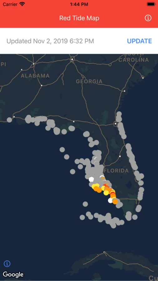
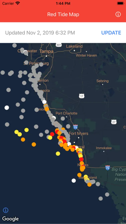
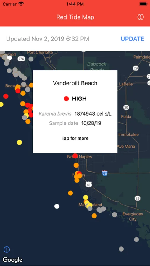
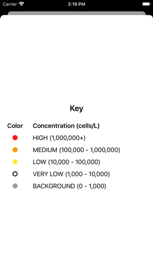
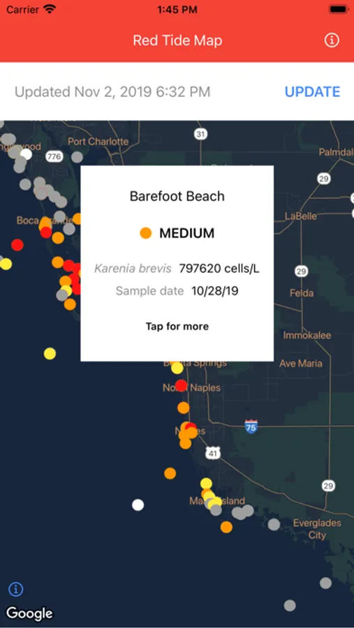
About Red Tide Map
Get a map with recent red tide (harmful algal bloom) measurements for Florida coastal areas.
No registration or login required.
Data source: NOAA National Coastal Data Development Center
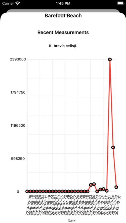
Measurements are derived from field samples that are individually collected. Tap "update" in the app to get the most recent data available from NOAA.
The current version of this app covers the state of Florida only.
No registration or login required.
Data source: NOAA National Coastal Data Development Center
Measurements are derived from field samples that are individually collected. Tap "update" in the app to get the most recent data available from NOAA.
The current version of this app covers the state of Florida only.
Red Tide Map Screenshots
Tap to Rate: