About Gecko Maps
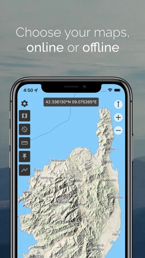
Online and Offline maps
Multiple maps and layers : topography, satellite, OpenStreetMap©, Google© Maps, IGN© - France...
Download maps in order to display them when you are offline or share them with other users (MBTiles format).
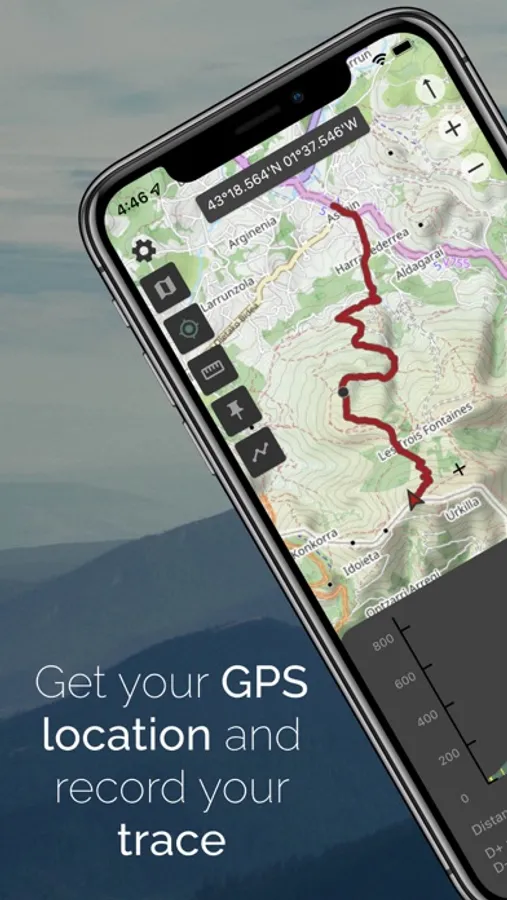
Geolocation
Visualize your position and record traces using the GPS signal.
Share your location with other users.
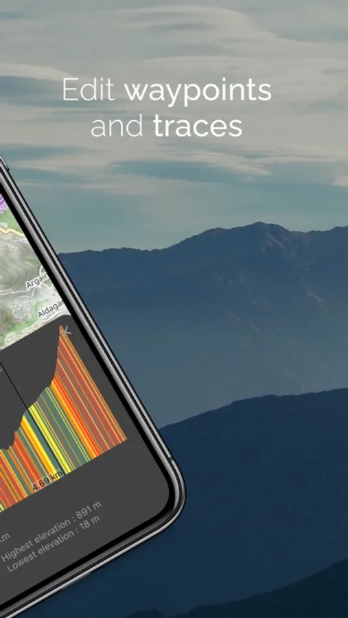
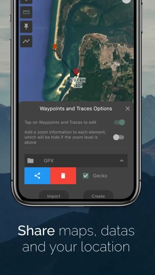
Waypoints, traces and measures
Creation and customization of markers and traces.
Sharing data in gpx format.
Measure distances and angles in ° or mil.
Altitude
Display altitude.
Compute elevation profile of traces.
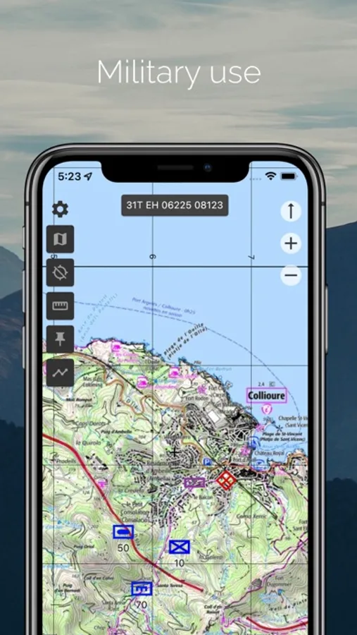
Military use
Coordinates MGRS, UTM, lat/long (deg), lat/long (deg, min), lat/long (deg, min, sec).
Grid MGRS or latitude/longitude. Compute magnetic declination.
Terms of use : https://gecko-map.com/terms
Privacy policy : https://gecko-map.com/privacy
Multiple maps and layers : topography, satellite, OpenStreetMap©, Google© Maps, IGN© - France...
Download maps in order to display them when you are offline or share them with other users (MBTiles format).
Geolocation
Visualize your position and record traces using the GPS signal.
Share your location with other users.
Waypoints, traces and measures
Creation and customization of markers and traces.
Sharing data in gpx format.
Measure distances and angles in ° or mil.
Altitude
Display altitude.
Compute elevation profile of traces.
Military use
Coordinates MGRS, UTM, lat/long (deg), lat/long (deg, min), lat/long (deg, min, sec).
Grid MGRS or latitude/longitude. Compute magnetic declination.
Terms of use : https://gecko-map.com/terms
Privacy policy : https://gecko-map.com/privacy
Gecko Maps Screenshots
Tap to Rate: