About SatLinks
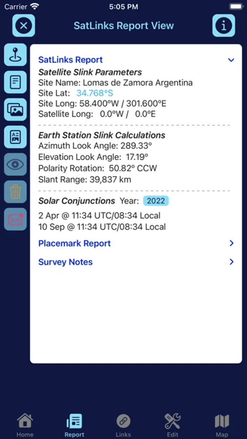
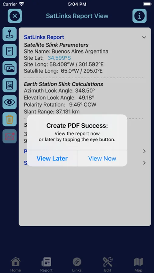
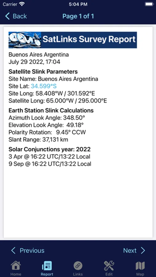
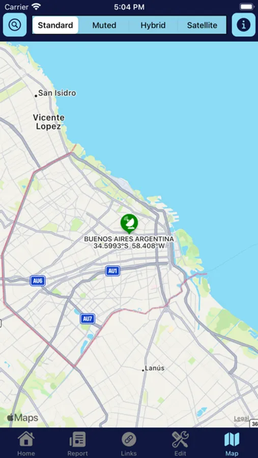
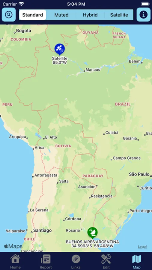
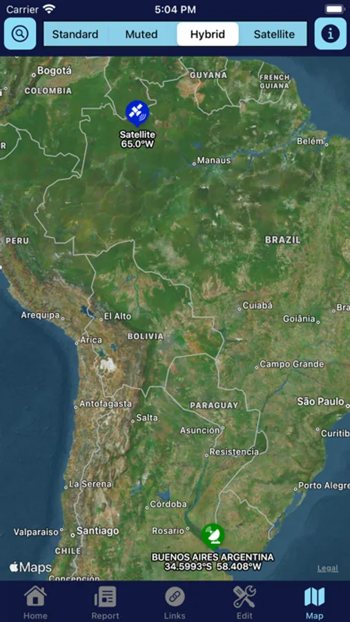
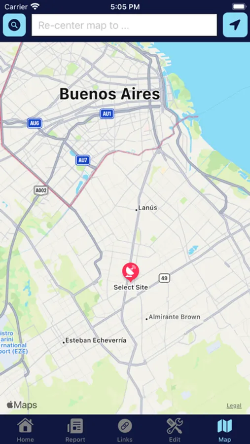
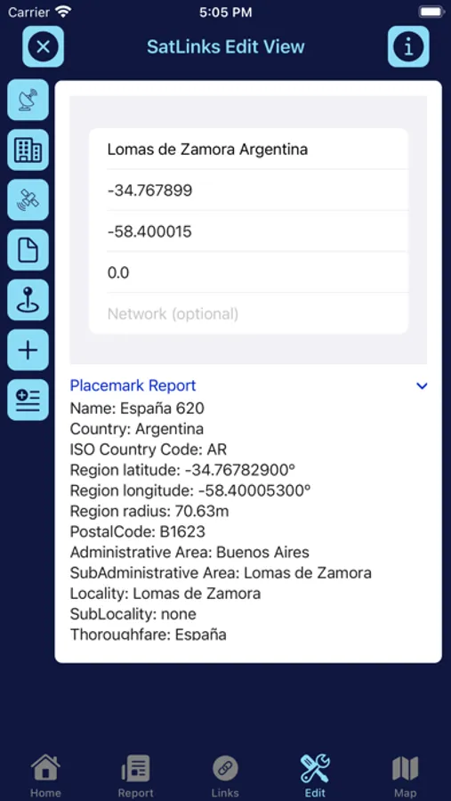
SatLinks is a professional engineering tool for designing, installing, and operating geosynchronous satellite communications systems. Users can generate site names and geographic coordinates from global maps, internal cities database, or by manual input. An orbital model helps select the satellite orbit slot. SatLinks calculates earth station look angles and solar interference periods, and keeps the results in a user link database. An illustrated site survey report in PDF format can be generated and emailed directly from the app.
SatLinks Screenshots

Tap to Rate: