About CGC Pilot for DJI drones
Get live awareness of your vehicle fleet so critical decision makers can make informed and timely decisions to ensure the success of your missions.
The responsibility of managing a large fleet of drones spread across several sites is challenging, especially when you don’t have visibility of the site. Cloud Ground Control provides fleet monitoring through a web browser. The CGC Pilot app will deliver live video and telemetry from your drone to your Cloud Ground Control web console.
* Improve situational awareness and communicate effectively during emergency situations.
* Know your pilots remain compliant at all times.
* Ensure the quality of captures.
Improved Situational Awareness for emergency services:
When chief pilots and critical decision makers have access to timely information, they can make better decisions and respond faster.
Managing Capture Programs At Scale
Avoid costly re-captures by seeing photos as they are taken and ensure quality. Create alerts that trigger upon hardware failures and compliance breaches.
FEATURES
* Store and access all flight history: videos, imagery, flight logs.
* Create geofence alerts to ensure flight compliance and export flight plans for annual reviews.
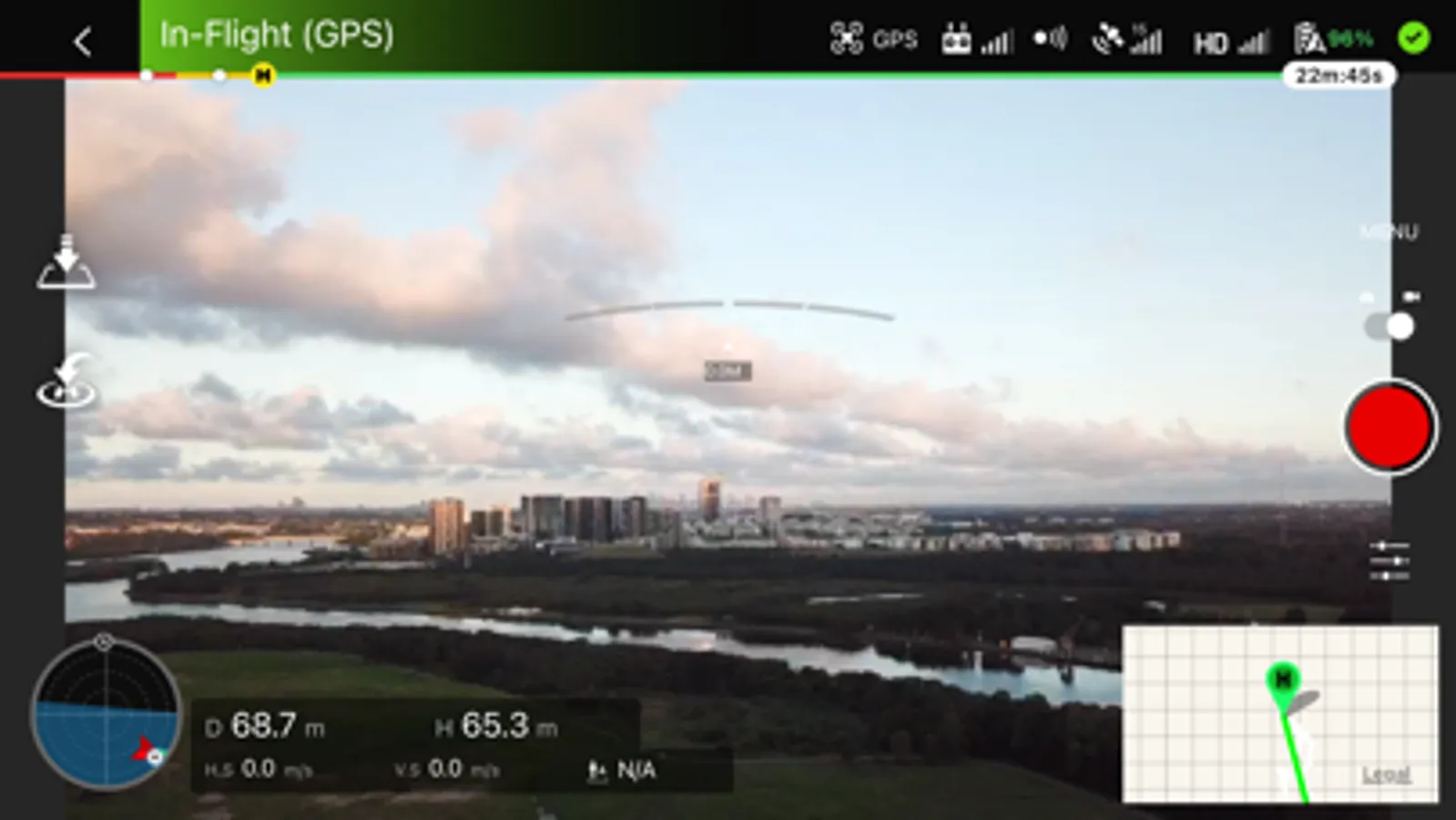
* Real time video feed. Get access to any of your drone video feeds in real time over 4G/5G connections.
* View your live fleet on a map.


