AppRecs review analysis
AppRecs rating 4.4. Trustworthiness 74 out of 100. Review manipulation risk 30 out of 100. Based on a review sample analyzed.
★★★★☆
4.4
AppRecs Rating
Ratings breakdown
5 star
85%
4 star
0%
3 star
0%
2 star
0%
1 star
15%
What to know
✓
Low review manipulation risk
30% review manipulation risk
✓
Credible reviews
74% trustworthiness score from analyzed reviews
✓
High user satisfaction
85% of sampled ratings are 4+ stars (4.4★ average)
About TrailsMV
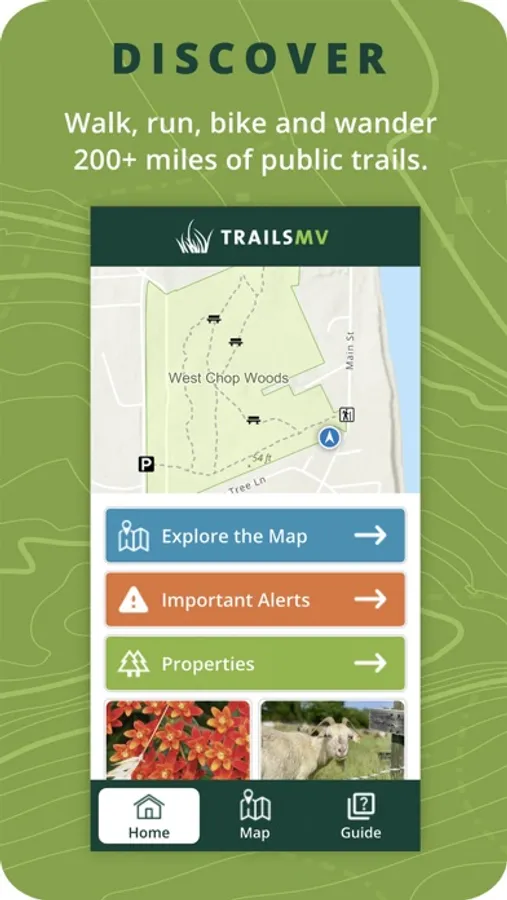
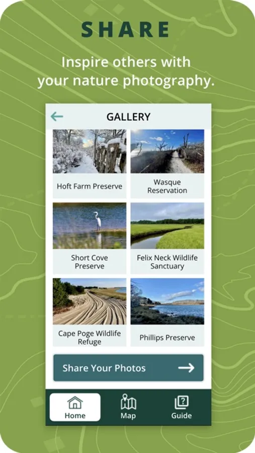
Discover and explore 200+ miles of public trails on Martha’s Vineyard with TrailsMV as your trusted guide. The free TrailsMV app features easy-to-read maps, shows your location, and highlights 100+ conservation properties open to the public.
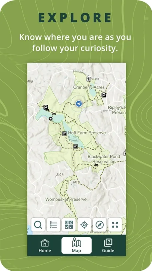
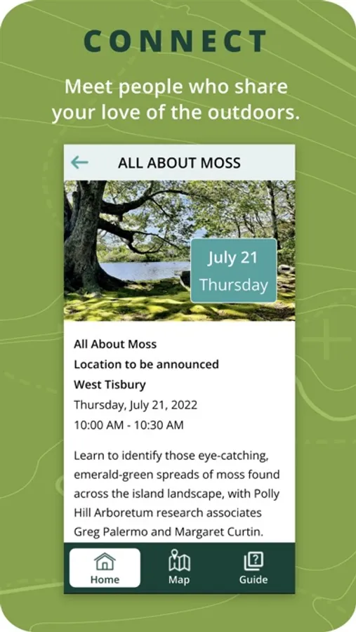
TrailsMV includes trail maps and descriptions for each property, along with excursions, informational articles and alerts, event listings, and spectacular photographs. Explore Martha’s Vineyard with confidence, discover new places to connect with nature, and learn about the island’s natural history.
TrailsMV was created by the nonprofit Sheriff's Meadow Foundation in collaboration with the island’s conservation groups and six towns.
Features:
- See your real-time location on the trail with GPS (no wifi or cell needed!)
- Up-to-date maps of the island’s conservation lands and public trails
- Excursions and suggested routes
- Property descriptions and detail maps
- Articles and Events about nature-related topics
- Information about conservation partners
- Gallery of Martha’s Vineyard landscape and nature photographs