About London GeoTube
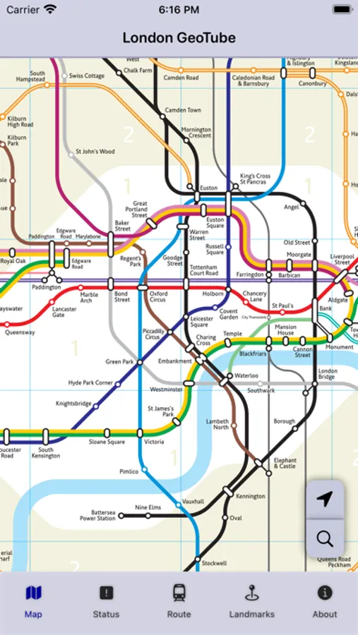
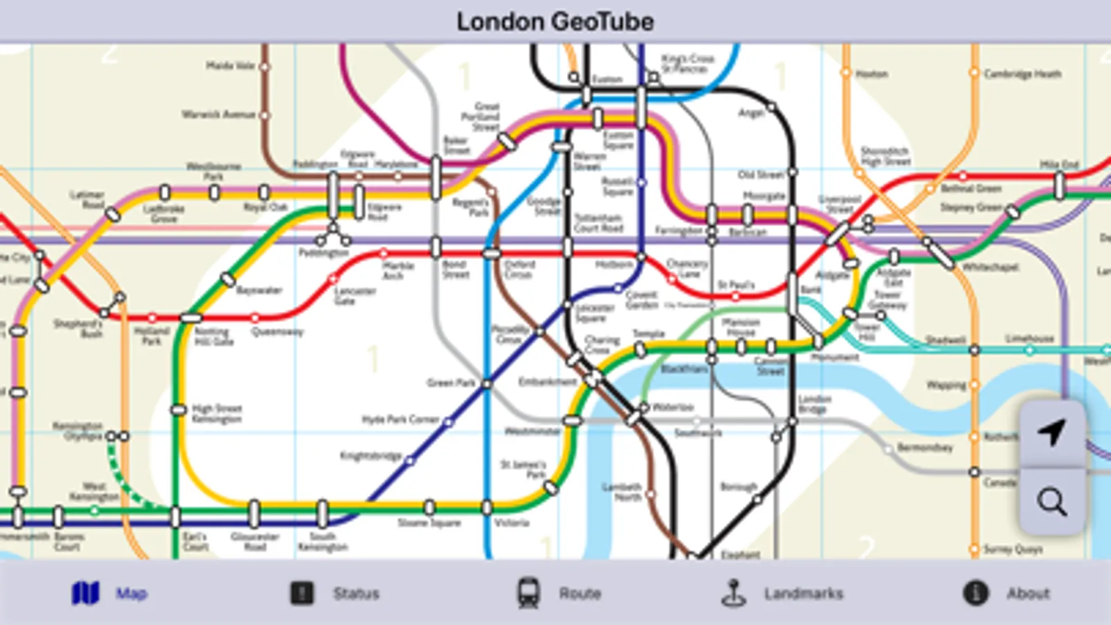
Geographically representative map of the London Underground to assist with real world positioning of the Tube stations. Suitable for use by both regular users of the Underground and visitors and tourists. Includes the main Tube lines, London Overground, the tram/light railway networks and also the Elizabeth line.
Helps visitors more accurately position stations based on their real geographical locations in relation to their destinations for the day,
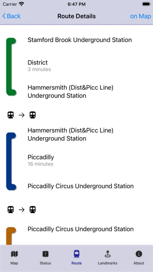
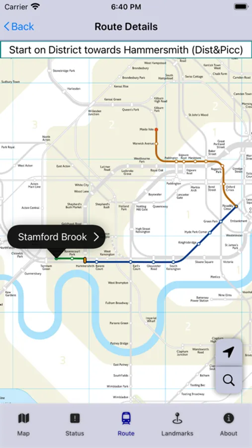
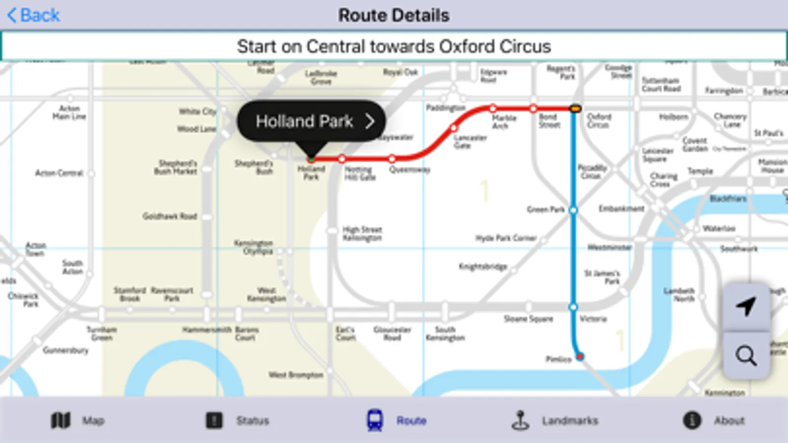
- Ability to plan routes with the added ability to view the route on the map if required (and navigate step-by-step).
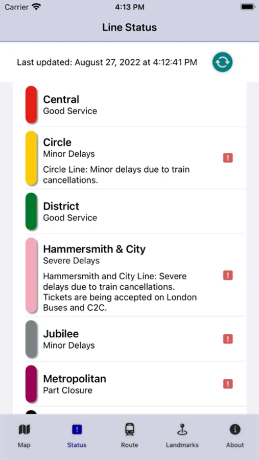
- Line status information, keep up-to-date with line closures and incidents for each of the lines.
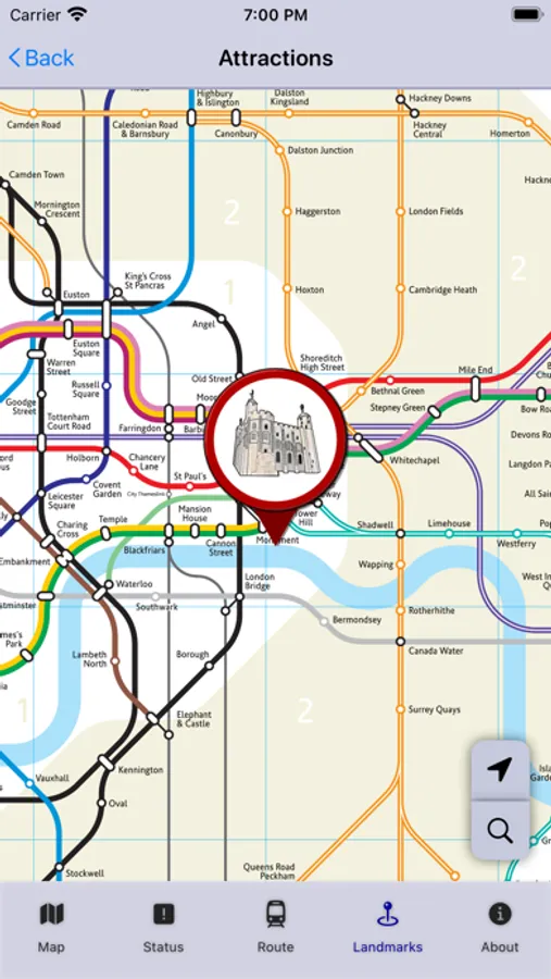
- Lists of landmarks available for tourists and visitors displayable on the map.
- Both landmarks and (search for nearest) stations displayed on the map and can be routed to and from
- Able to position yourself on the map
Helps visitors more accurately position stations based on their real geographical locations in relation to their destinations for the day,
- Ability to plan routes with the added ability to view the route on the map if required (and navigate step-by-step).
- Line status information, keep up-to-date with line closures and incidents for each of the lines.
- Lists of landmarks available for tourists and visitors displayable on the map.
- Both landmarks and (search for nearest) stations displayed on the map and can be routed to and from
- Able to position yourself on the map
London GeoTube Screenshots
Tap to Rate: