About InfraVisor
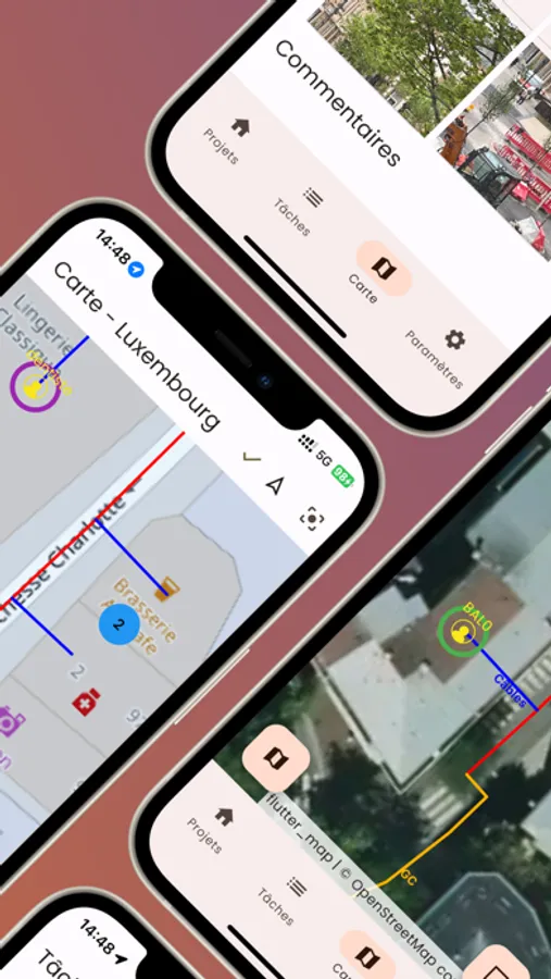
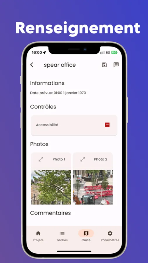
Drawn lines and points can contain photos and custom properties. Items displayed on the map are customizable to adjust their visibility. Your data is automatically synchronized with your design office through the cloud.
InfraVisor Screenshots


Tap to Rate: