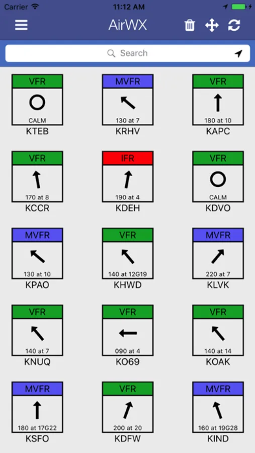
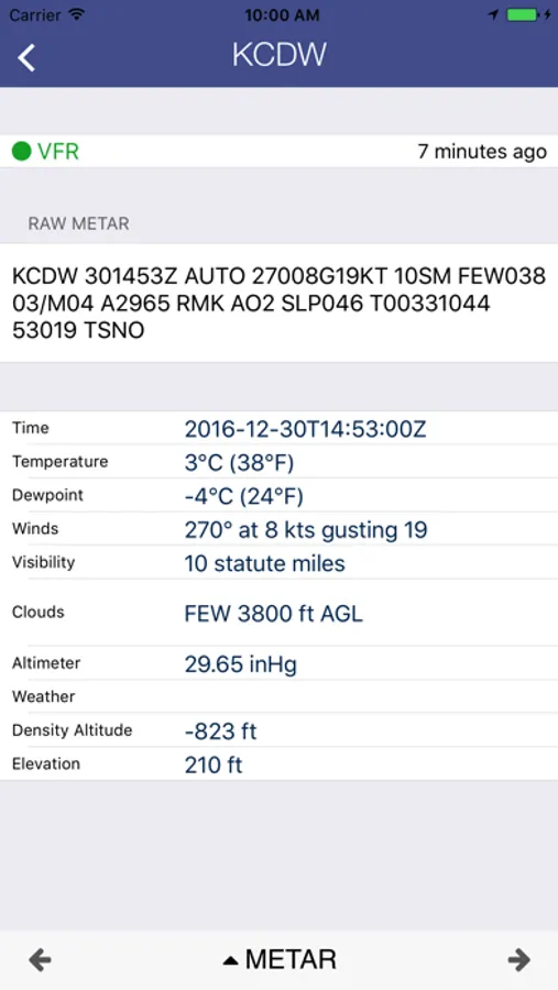
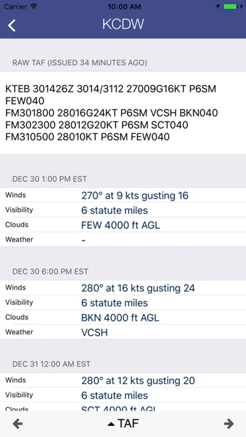
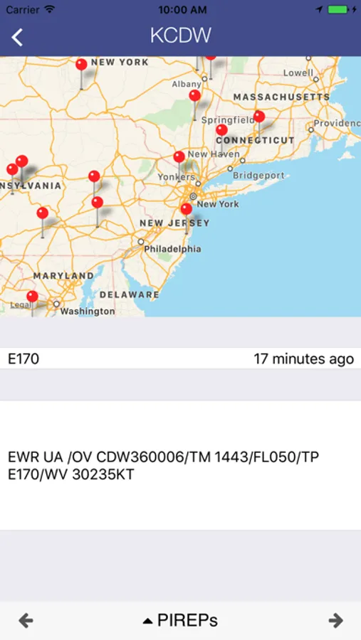
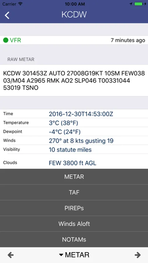
In this aviation weather app, pilots can access METARs, TAFs, and weather charts for US airports. Includes METARs, TAFs, NOTAMs, PIREPs, winds aloft, and nearby airport information.
About AirWX Aviation Weather
Aviation weather for Pilots. Retrieve METARs, TAFs, and Weather Charts for airports in the US. Also includes access to sectional charts and displays a list of nearest airports to your location.
Features:
-METARs, TAFs, PIREPs, NOTAMs, and Winds Aloft
-Nearest Airports using GPS
-Search by City/State, name or Airport Identifier
If you have any other questions or problems please contact support at support@mobiledevgroup.com
Features:
-METARs, TAFs, PIREPs, NOTAMs, and Winds Aloft
-Nearest Airports using GPS
-Search by City/State, name or Airport Identifier
If you have any other questions or problems please contact support at support@mobiledevgroup.com
AirWX Aviation Weather Screenshots
Tap to Rate: