AppRecs review analysis
AppRecs rating 2.8. Trustworthiness 0 out of 100. Review manipulation risk 0 out of 100. Based on a review sample analyzed.
★★☆☆☆
2.8
AppRecs Rating
Ratings breakdown
5 star
33%
4 star
17%
3 star
0%
2 star
0%
1 star
50%
What to know
⚠
Mixed user feedback
Average 2.8★ rating suggests room for improvement
About Metes and Bounds Basic
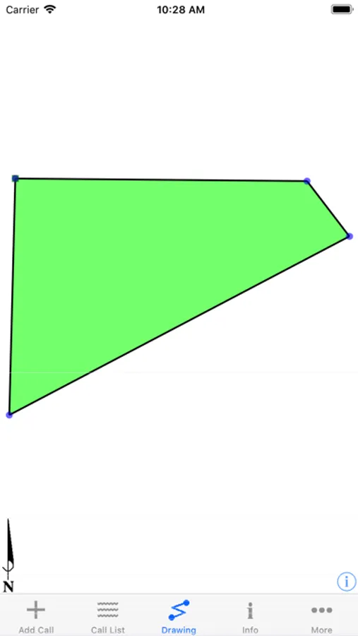
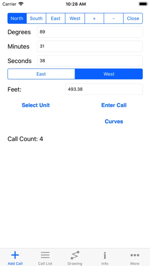
Turn a property deed or legal description into a plat drawing.
Supports many units of measurement. Including: feet, meters, and varas.
Calculates the area, perimeter and closing error of the plot.
Includes the ability to auto-complete a tract if the last call isn't defined.
Want to do even more with the plotted tract? Files can be sent and received via email to and from the computer version of Metes and Bounds.
Provides X,Y coordinates for the tracts endpoints.
Have some old family land maps from your genealogy searches? Plot them using measurements such as rods, chains and spans.
Realtors can use this application to quickly show potential buyers what a piece of property looks like.
Please note: Does not support descriptions based on section calls.
Metes and Bounds Basic Screenshots
Tap to Rate:
Reviews for Metes and Bounds Basic
Jimmy in AZ
Not able to translate my parcel description using this app
Not able to translate my parcel description using this app
BarbSmall
Crashes & cannot edit a call list with basic
With Basic version, it crashes every time any feature is used. Cannot edit a saved call list. It’s pointless to purchase this level, so why sell it?