About Total Solar Eclipses
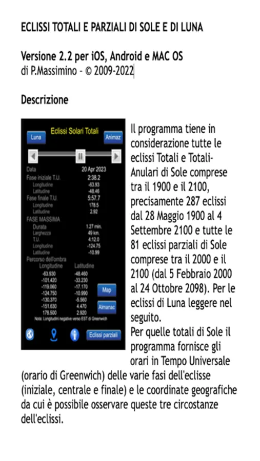
Total and Total-annular solar eclipses processed by the program are comprised between 1900 and 2100, exactly 287 eclipses from 28th May 1900 to 4th September 2100.
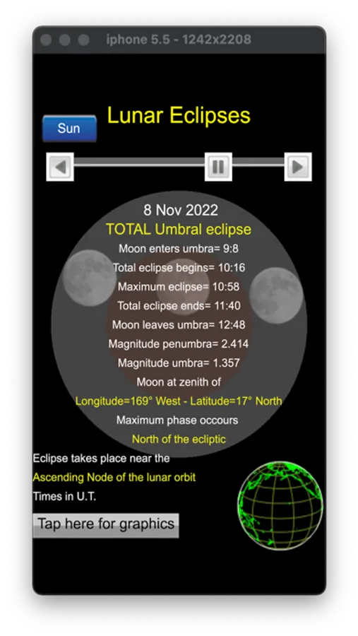
The program also shows partial solar eclipses and lunar eclipses.
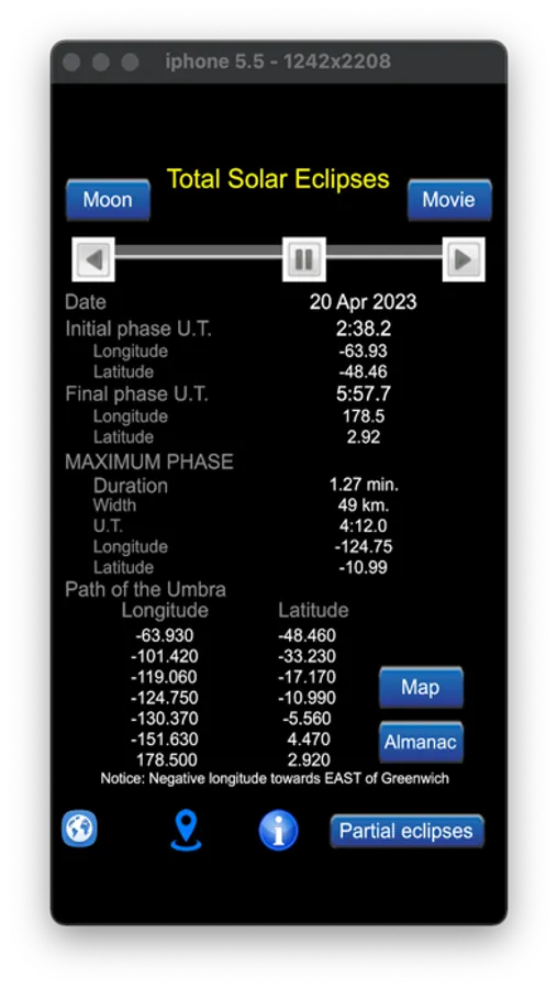
The program gives the times in Universal Time of the Solar eclipse phases (initial, central and final) and the geographical coordinates from where it is possible to observe those circumstances of the eclipse. It also gives maximum duration and the width of the lunar umbra.
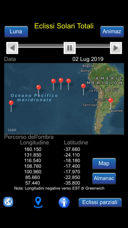
Below Path of the Umbra are listed Longitude and Latitude of seven point of the lunar umbra path on the Earth surface.
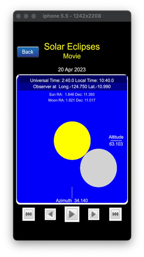
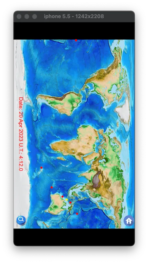
The program has a few functions: Earth Map, Movie and Google Map visualization. The first allows seeing a few points of the path of the lunar umbra on Earth surface; the second creates an animation: the user will see the eclipse from one hour before up to one hour after its maximum phase with step of 2 minutes; the third function allows to visualize Google Map of the area around the point where the eclipse reaches the maximum or that selected from the user.
Moreover it is possible to change geographical coordinates of the observer. This allows knowing if and how the eclipse will be seen from other points of the Earth surface (e.g. it is possible to know if the eclipse will be partial or it does not occur for those coordinates).
