About GeoLatitude
GeoLatitude an app dedicated to all those who are experts of navigation, nautical lover technology, professional winter sports (hiking, skiing, mountain climbers), explorers and anyone who travels and never want to lose your bearings.
In the App Store there are many which provide data such as altitude, speed and at the beginning I was excited, but I could never to have a unique App all the features I needed and that's why I was born GeoLatitude, an 'App that would gather in a single screen all the location data and all possible screens.
One utility to have them all!
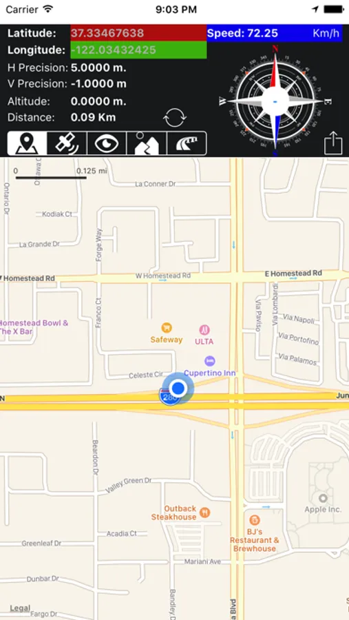
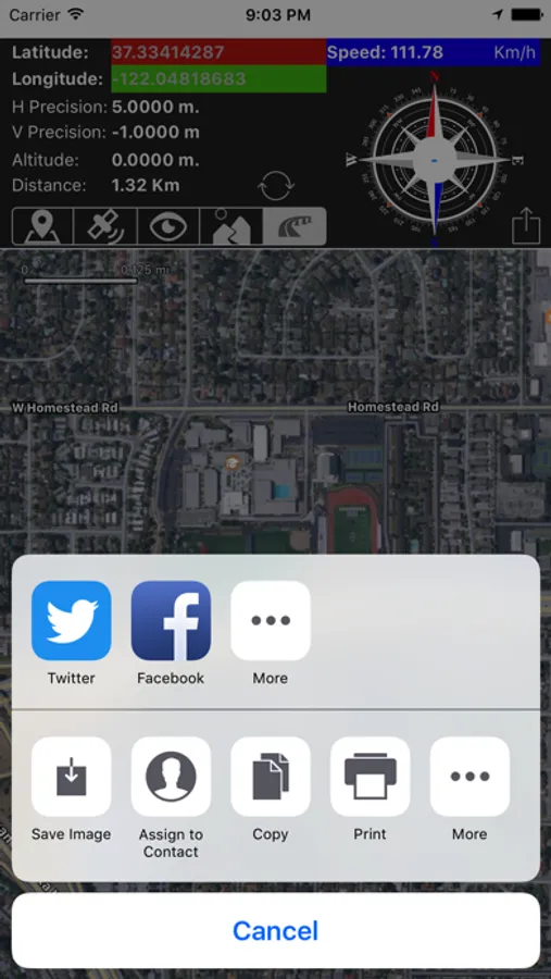
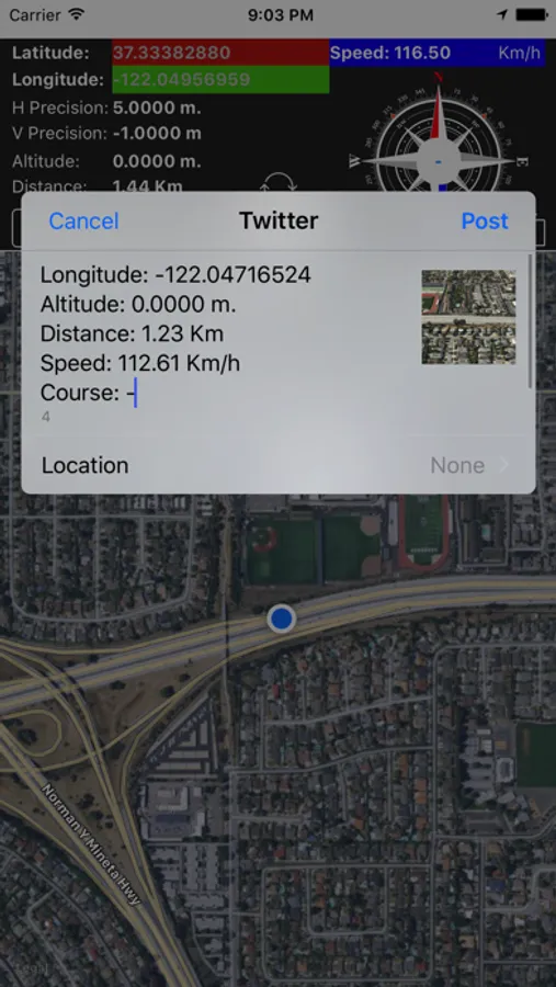
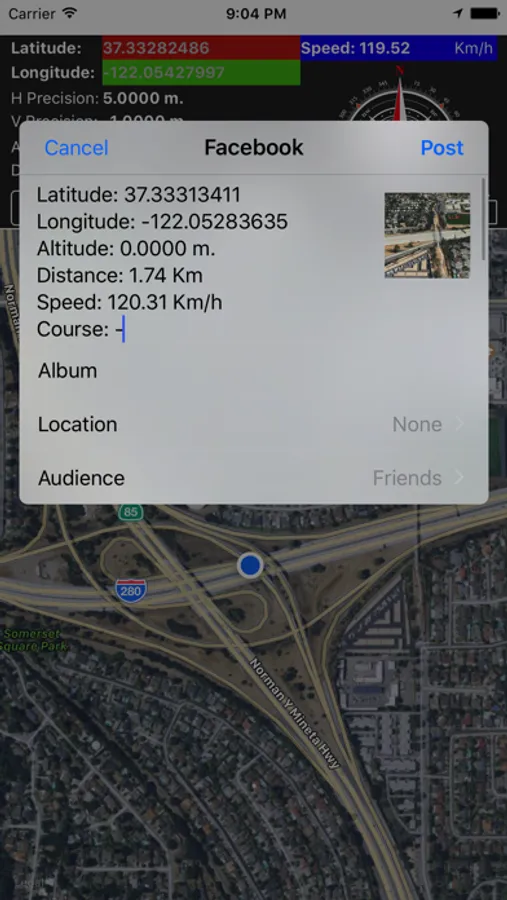
The greedy graphics simple and easy to understand we have all the data from the coordinates, height above sea-level, speed in Km / h, horizontal and vertical accuracy, the compass indicating the degrees, distance from the starting point and sharing !
Technical features:
Navigation data and Geolocation
- Speed (Km / h)
- Height (meters above sea level)
- Latitude
- Longitude
- Horizontal Accuracy (deviation of GPS system failure)
- Vertical Accuracy (deviation of GPS system failure)
- Direction (in degrees)
- Distance run from the starting point (Resettable)
always visible compass
- Indication of the degree and direction
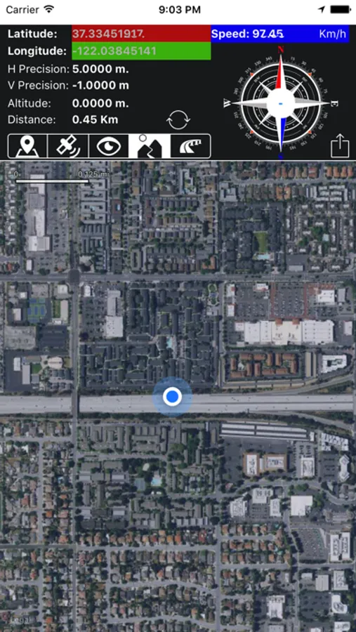
Maps (With Zoom and Scroll)
- Map
- Satellite
- Hybrid
- Satellite with FlyOver
- Hybrid with FlyOver
Minimum requirements:
All Iphone / Ipad with
- GPS Sensor
- Data Connection WiFi / 3G / 4G
single purchase for the iPhone and iPad just download it from iCloud!
I wish you a good trip!
