AppRecs review analysis
AppRecs rating 4.6. Trustworthiness 70 out of 100. Review manipulation risk 24 out of 100. Based on a review sample analyzed.
★★★★☆
4.6
AppRecs Rating
Ratings breakdown
5 star
83%
4 star
0%
3 star
0%
2 star
17%
1 star
0%
What to know
✓
Low review manipulation risk
24% review manipulation risk
✓
High user satisfaction
83% of sampled ratings are 5 stars
About Oceanodesy
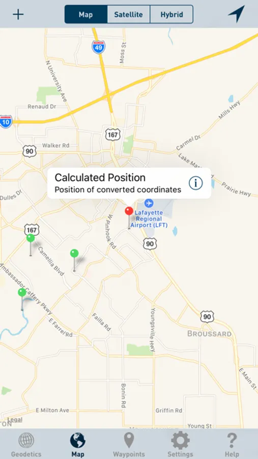
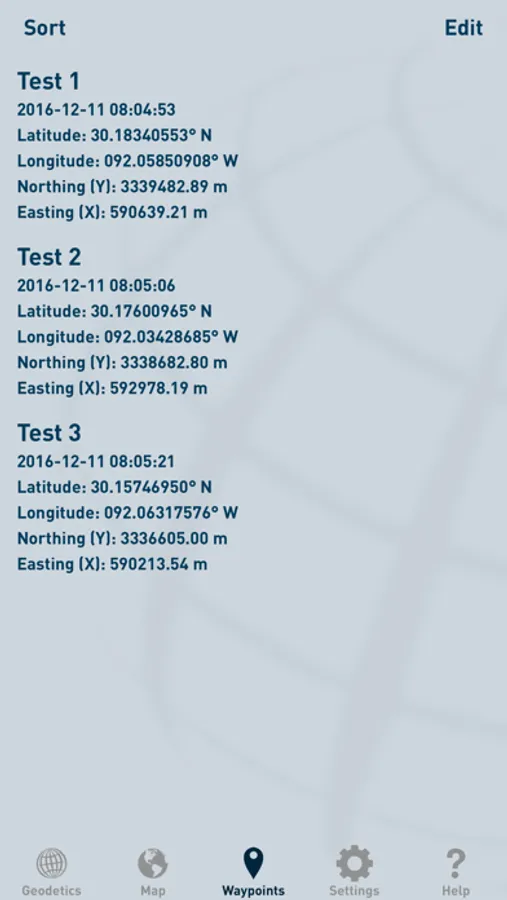
Oceanodesy projects and inverses between geodetic coordinates (latitude and longitude) and grid coordinates (easting and northing). Latitude and longitude coordinates are accepted and displayed in Decimal Degrees (DD.dd), Decimal Minutes (DD MM.mm), and Decimal Seconds (DD MM SS.ss). Grid coordinates are accepted and displayed in US Feet, International Feet, and Meters.
Projected coordinates can be stored for later reference or export.
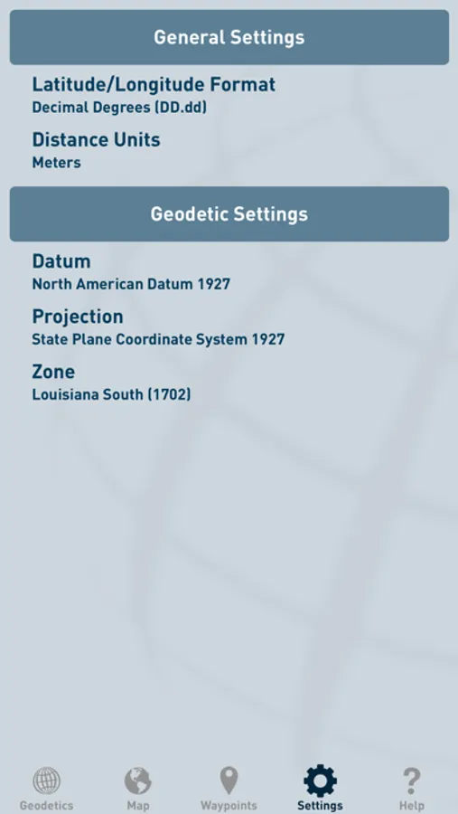
Available Datums:
- World Geodetic System 1984 (WGS84)
- North American Datum 1927 (NAD27)
- North American Datum 1983 (NAD83)
- Sistema de Referencia Geocentrico para las AmericaS 2000 (SIRGAS2000)
- Indian 1975 Datum
- Hartebeesthoek 1994 Datum
- European Datum 1950
Available Projections:
- Universal Transverse Mercator (UTM)
- State Plane Coordinate System 1927 (SPCS27)
- State Plane Coordinate System 1983 (SPCS83)
Projected coordinates can be stored for later reference or export.
Available Datums:
- World Geodetic System 1984 (WGS84)
- North American Datum 1927 (NAD27)
- North American Datum 1983 (NAD83)
- Sistema de Referencia Geocentrico para las AmericaS 2000 (SIRGAS2000)
- Indian 1975 Datum
- Hartebeesthoek 1994 Datum
- European Datum 1950
Available Projections:
- Universal Transverse Mercator (UTM)
- State Plane Coordinate System 1927 (SPCS27)
- State Plane Coordinate System 1983 (SPCS83)
Oceanodesy Screenshots


Tap to Rate:
Reviews for Oceanodesy
redleadee
Works as Intended
App works as intended without bugs or issues.
NoUfosHere
What happened?
I use this app a bunch but found it won't launch with the latest update 10.2 on both iPad and iPhone. Fix on the way? Update: Just downloaded the updated app and it works great! Thanks.