AppRecs review analysis
AppRecs rating 2.1. Trustworthiness 84 out of 100. Review manipulation risk 21 out of 100. Based on a review sample analyzed.
★★☆☆☆
2.1
AppRecs Rating
Ratings breakdown
5 star
18%
4 star
5%
3 star
18%
2 star
18%
1 star
41%
What to know
✓
Low review manipulation risk
21% review manipulation risk
⚠
Pricing complaints
Many low ratings mention paywalls or pricing
⚠
Mixed user feedback
Average 2.4★ rating suggests room for improvement
About rakkup
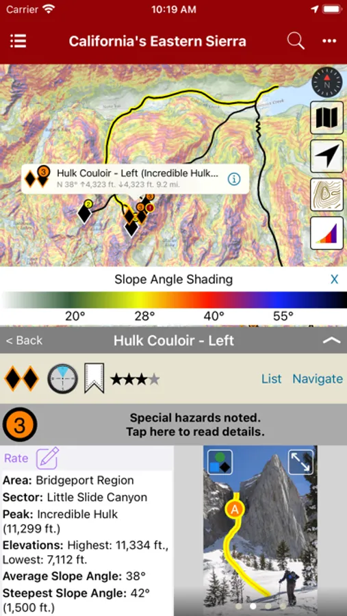
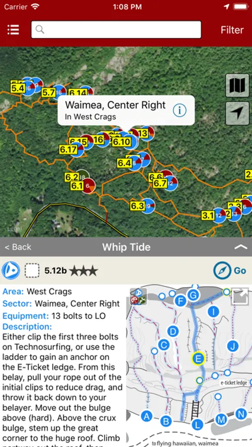
We've partnered with Beacon Guidebooks, Wolverine Publishing ,and other publishers to bring you rich guidebooks complete with color photos and topo drawings. Free sample climbs and ski descents are included.
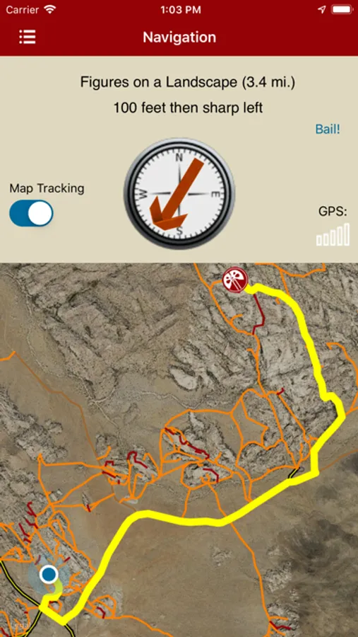
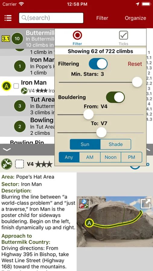
Browse climbs and descents on a map or in the list format of your choice, filter and search in seconds, then navigate using your phone's GPS with a single tap. In climbing guidebooks, the app continuously calculates the easiest route through the trail system from your current location. Simply follow the arrow and moving map.
Note: When actively navigating to a climb, rakkup uses GPS in background. Continued use of GPS running in the background can dramatically decrease battery life.
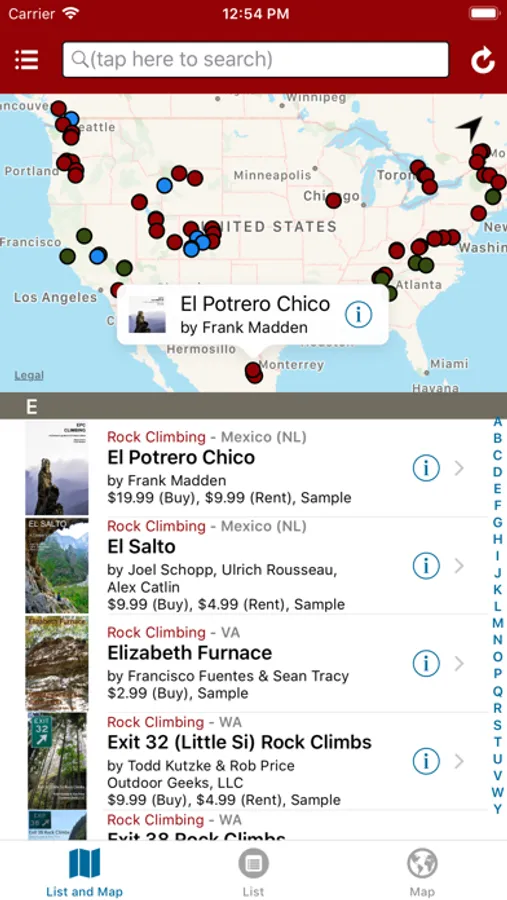
rakkup Screenshots
Tap to Rate:
Reviews for rakkup
jarek T (#4567)
Hard to use app but often good guidebooks
I don’t like the app it’s hard to use especially when compared to mountain project. The guide books are sometimes good and sometimes not, as some authors put more work than others. No good mechanism for correcting mistakes or leaving comments
Amanda in Philly
Lost years of ticks
Log in no longer works. Tried everything. Lost 10 years of climbing ticks.