Blue Ridge Pkwy Travel Planner
Blue Ridge Parkway Association
4.6 ★
822 ratings
Free
In this travel planner app, you can browse maps, find visitor centers, and access trail information. Includes features like GPS-based exploration, suggested itineraries, and saved favorites.
AppRecs review analysis
AppRecs rating 4.5. Trustworthiness 76 out of 100. Review manipulation risk 20 out of 100. Based on a review sample analyzed.
★★★★☆
4.5
AppRecs Rating
Ratings breakdown
5 star
82%
4 star
9%
3 star
3%
2 star
2%
1 star
5%
What to know
✓
Low review manipulation risk
20% review manipulation risk
✓
Credible reviews
76% trustworthiness score from analyzed reviews
✓
High user satisfaction
82% of sampled ratings are 5 stars
About Blue Ridge Pkwy Travel Planner
Brought to you by the Blue Ridge Parkway Association in cooperation with the Blue Ridge Parkway, National Park Service. BRPA has been serving visitors since 1949 as an official partner organization of the Blue Ridge Parkway dedicated to providing tourism and hospitality information to the Parkway traveler.
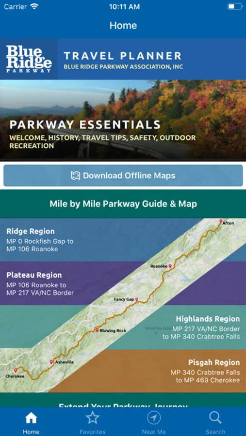
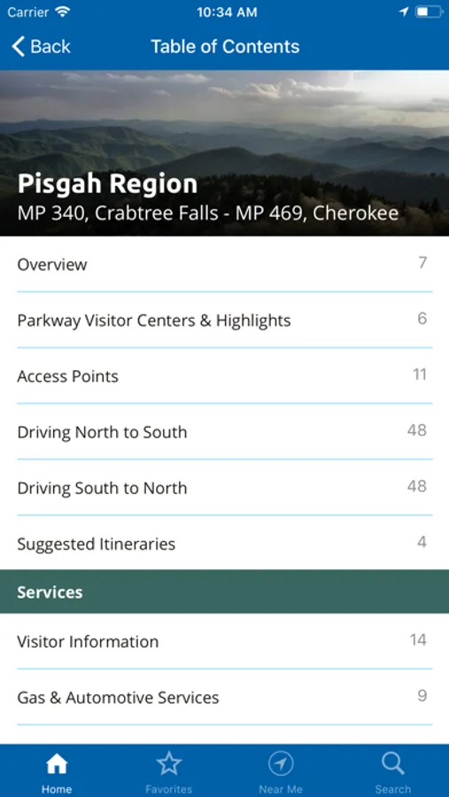
Access detailed information for the Parkway’s four major regions Ridge, Plateau, Highlands and Pisgah as well as information for connecting regions including the Great Smoky Mountains National Park region (located near the Parkway’s southern end) and the Shenandoah National Park region (near the Parkway’s northern end).
Explore by region, activity, or by proximity to your location. Download the app to your phone to access content with or without a cell signal during your trip to visit the Blue Ridge Parkway area, or use it to plan your vacation before you leave home.
Features include:
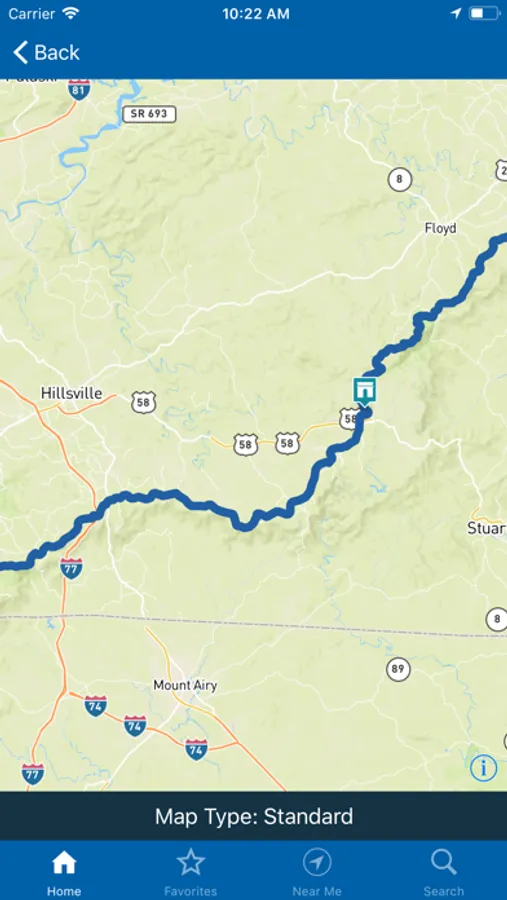
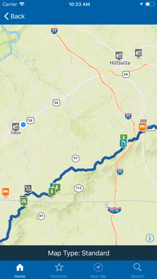
- Maps and navigation guides
- Parkway visitor centers
- On and off-Parkway campgrounds & lodging
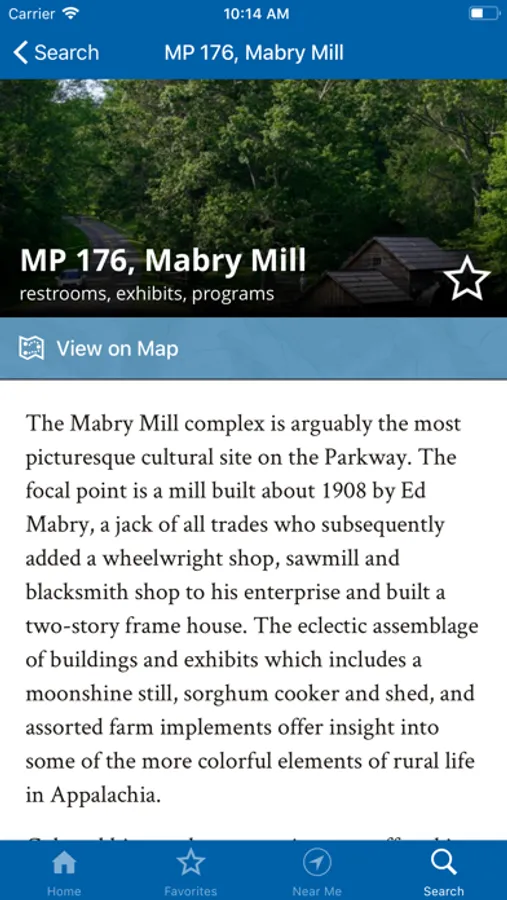
- Interpretive stops on the Parkway
- Gas availability and travel information
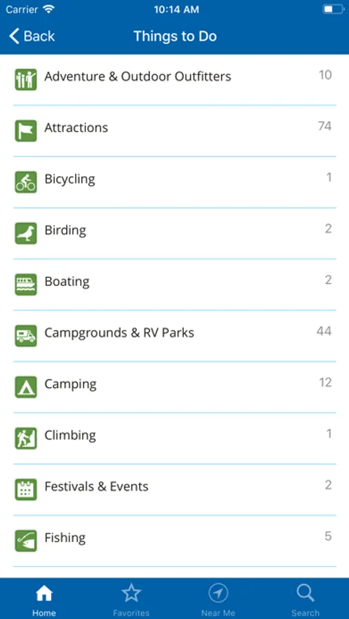
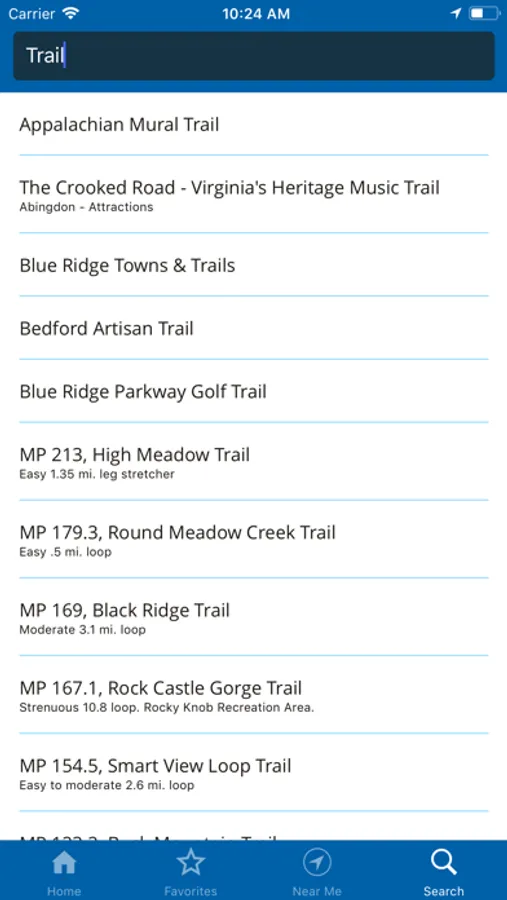
- More than 50 popular hiking trails
- Suggested itineraries
- Major access points for the Parkway
- Adjacent Parkway communities and services
- Wildlife information
- Special events
- Save places to your Favorites list
- Use your GPS signal to explore nearby points of interest
This free mobile application is published by the Blue Ridge Parkway Association to help you more fully enjoy your Parkway area vacation. Our members include attractions, outdoor recreation sites, accommodations, restaurants, shops, and a variety of other services essential to the traveler. This mobile application does not imply endorsement by the National Park Service of the businesses or commercial services listed. When you visit their place of business, please let them know you found them in the Blue Ridge Parkway Travel Planner mobile application. This will help us ensure the future availability of this application for visitors to the Parkway area.
Blue Ridge Pkwy Travel Planner Screenshots
Tap to Rate:
Reviews for Blue Ridge Pkwy Travel Planner
laurissamay
The closed parts??
So why in heavens name are the closed parts not notated on this official app?? Hurricane Helene storms last fall took out big sections of the Parkway, which remain closed, and not a mention here :( :( :( This app should identify closed area and alternate routes. Ridiculous
Tundramartin
No road closure info
Nice app with static info, but would be a lot better if it had road closures embedded in the maps. The link to NPS info re: closures is fine but their table based on mile markers is challenging to use.