About Peak Scanner
See what mountain peaks are around you simply by pointing your iPhone at them!
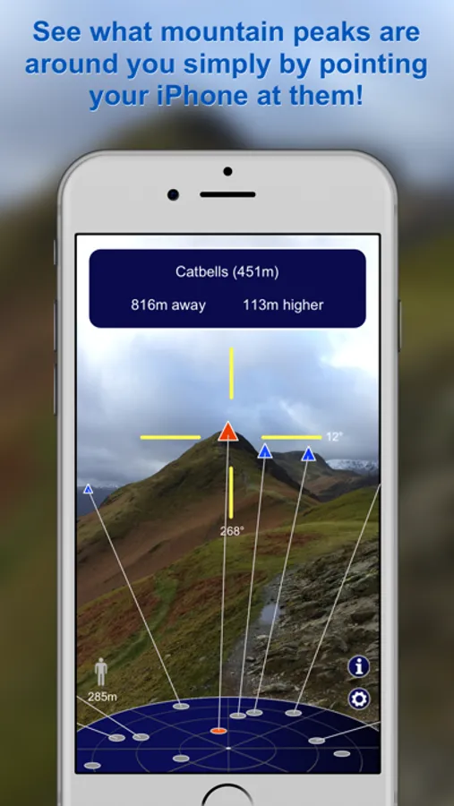
Using augmented reality, this app is fast and smooth, displaying information about the peaks near you. Position any peak within the cross hairs to see useful information, including peak name, height, distance from you, and also the difference in height from your current altitude.
Even if some peaks are behind others Peak Scanner still allows you to get details on them (shown in grey).
You'll find Peak Scanner a much better experience than other apps of this type:
- fast, smooth display
- no finger taps required - just point and get instant results!
- worldwide coverage (unlike other apps that make you pay for each country)
- does not require any mobile signal - all the peak data is inside the app
Peak Scanner includes data on over 500,000 mountain peaks all over the world. Whether you're in the Alps, the Lake District, or The Rockies, Peak Scanner is your ideal travel companion.
You'll never need to ask, "What's that mountain over there?" again.
Data Sources include:
Database of British and Irish Hills (http://hills-database.co.uk)
OpenStreetMap contributors (http://www.openstreetmap.org)
Find us on Facebook - just search "Peak Scanner".
