AppRecs review analysis
AppRecs rating . Trustworthiness 45 out of 100. Review manipulation risk 28 out of 100. Based on a review sample analyzed.
★
AppRecs Rating
Ratings breakdown
5 star
0%
4 star
0%
3 star
0%
2 star
0%
1 star
100%
What to know
⚠
Mixed user feedback
Average 1.0★ rating suggests room for improvement
About Live Earth Map 3D
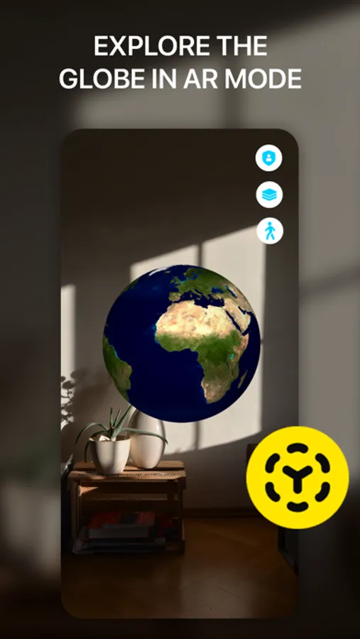
Live Earth Map 3D is a mobile app for iOS that provides an amazing experience of exploring and navigating around the world. With this app, users can access an extensive database of map data and enjoy a realistic representation of the Earth.
The main features of the app include:
1. Point Description: When selecting any point on the map, users can get a detailed description of that point, including information about landmarks, geographical features, history and other interesting facts.
2. Point Coordinates: Live Earth Map 3D allows users to view the geographic coordinates of the selected point on the map. This is a useful feature for locating and obtaining accurate coordinates for navigation or other purposes.
3. Street View: Users can switch to virtual walking tour mode to explore different streets and neighborhoods around the world. They can zoom in, turn and navigate the streets as if they were there in person.
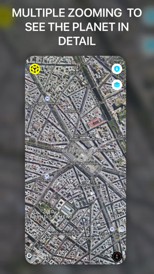
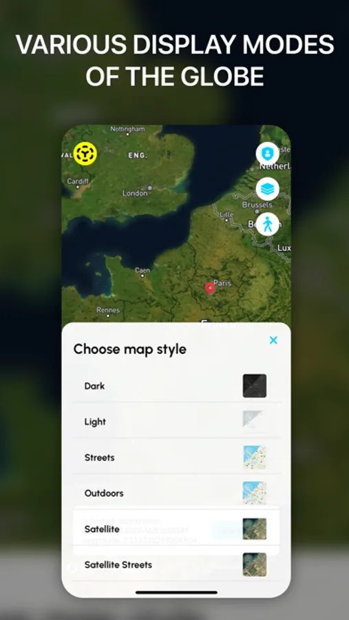
4. Map Style Selection: Users can choose different map display styles according to their preferences and needs. They can choose between classic, schematic, topographical or even themed maps.
5. 3D Buildings: Live Earth Map 3D app has the ability to display buildings and structures in a three-dimensional format. This allows users to get a realistic view of cities, landmarks or any other place, helping them to better understand their surroundings and navigate.
Live Earth Map 3D is a convenient and powerful application for exploring the world, providing users with useful information and exciting navigation features. It helps users find interesting places, explore new cultures and enjoy beautiful scenery right from their iOS device screen.
The main features of the app include:
1. Point Description: When selecting any point on the map, users can get a detailed description of that point, including information about landmarks, geographical features, history and other interesting facts.
2. Point Coordinates: Live Earth Map 3D allows users to view the geographic coordinates of the selected point on the map. This is a useful feature for locating and obtaining accurate coordinates for navigation or other purposes.
3. Street View: Users can switch to virtual walking tour mode to explore different streets and neighborhoods around the world. They can zoom in, turn and navigate the streets as if they were there in person.
4. Map Style Selection: Users can choose different map display styles according to their preferences and needs. They can choose between classic, schematic, topographical or even themed maps.
5. 3D Buildings: Live Earth Map 3D app has the ability to display buildings and structures in a three-dimensional format. This allows users to get a realistic view of cities, landmarks or any other place, helping them to better understand their surroundings and navigate.
Live Earth Map 3D is a convenient and powerful application for exploring the world, providing users with useful information and exciting navigation features. It helps users find interesting places, explore new cultures and enjoy beautiful scenery right from their iOS device screen.
Live Earth Map 3D Screenshots


Tap to Rate:
Reviews for Live Earth Map 3D
Mahtab_b
Mah
Wrong and fake with fake titles map
AATD1960
Fake App.
Be careful it’s a fake app.,spam and a hacker.