About Rome Subway Map
Explore Rome with a fast, offline-friendly transit companion.
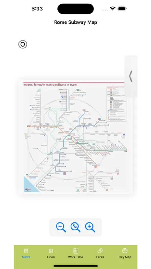
Rome Subway Map helps you navigate the Metro (Lines A, B/B1, C) with a clean network map, a simple route planner, and practical travel info you can use the moment you land.
KEY FEATURES
• Offline Metro map (zoom, pan, “Fit” view) — great for tunnels and roaming-free travel
• Route planner: choose From/To stations and get an estimated ride time (includes transfer penalties)
• Line cards with key highlights (Vatican, Termini, Colosseo, EUR, San Giovanni, and more)
• Night map view for late trips (when available)
• Rome time at a glance + quick status card for today
• Airport: browse recent arrivals/departures and search by flight/city/airline (internet required)
TRANSPORT HUB
Quick, readable guides for:
• Rail & Train Stations (Termini, Tiburtina, Ostiense basics)
• Airport Connections (FCO & CIA tips and transfer options)
• Central Bus Terminal info
• Taxi & ride options + safety notes
EXTRAS
• Emergency & help: one-tap access to essential local numbers in Rome
• Address Book: save places and addresses you don’t want to forget (hotel, embassy, pickup points, favorites)
• City profile & facts for quick context (time zone, basics, fun trivia)
DESIGNED FOR TRAVELERS
• Works without an account
• Lightweight, readable UI
• Useful even on a short layover
NOTES
Route times are approximate and may vary due to service changes, disruptions, or walking connections. This app is not affiliated with ATAC or the City of Rome.
If you like the app, please leave a review — it helps a lot. Buon viaggio!
Rome Subway Map Screenshots


Tap to Rate: