Bucks County Covered Bridges
Bucks County Covered Bridge Society
4.7 ★
18 ratings
Free
With this travel app, you can navigate to covered bridges using GPS and access historical audio guides. Includes maps, safety instructions, and options to customize and save tours.
AppRecs review analysis
AppRecs rating 4.3. Trustworthiness 0 out of 100. Review manipulation risk 0 out of 100. Based on a review sample analyzed.
★★★★☆
4.3
AppRecs Rating
Ratings breakdown
5 star
89%
4 star
0%
3 star
6%
2 star
0%
1 star
6%
What to know
✓
High user satisfaction
89% of sampled ratings are 5 stars
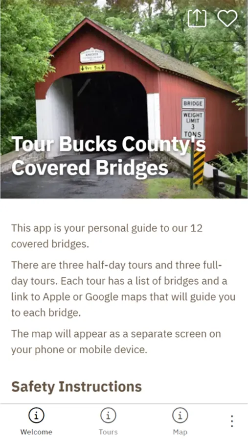
About Bucks County Covered Bridges
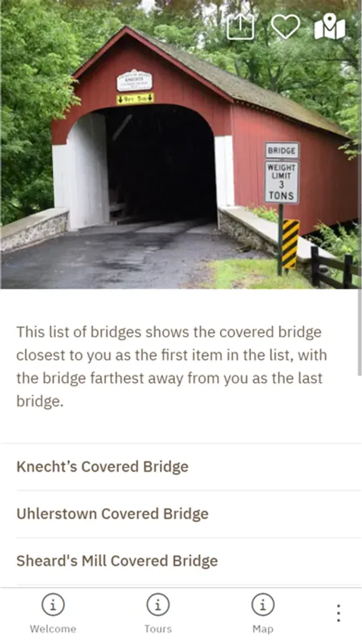
The Bucks County Covered Bridges Tour app takes you on a self-guided driving journey to 12 covered bridges, at your own pace. Bucks County is known for its beauty and history, and the county was one of the first to popularize covered bridge driving “safaris” in the late 1950s.
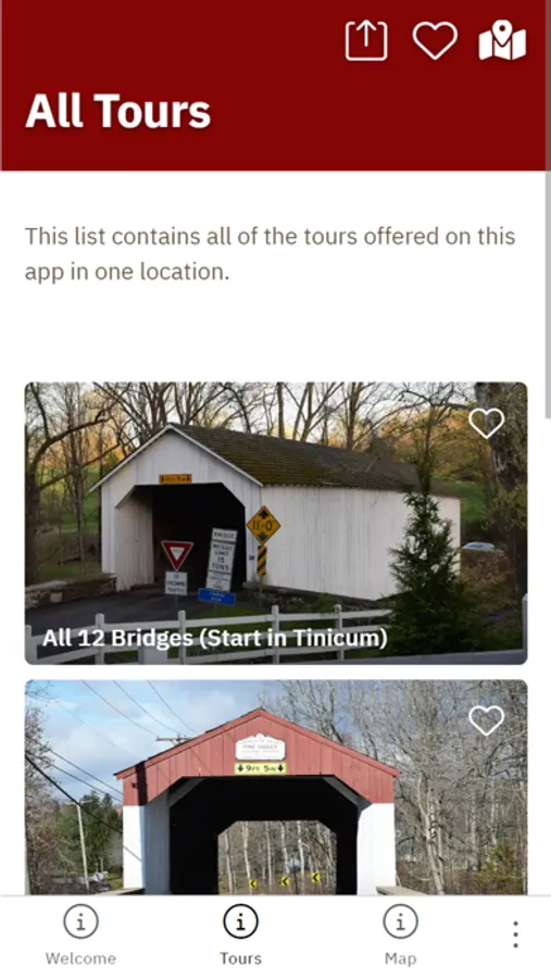
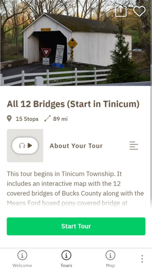
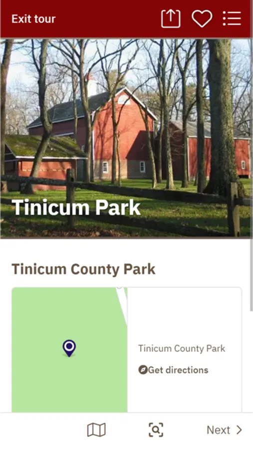
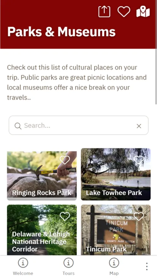
The app uses GPS to pinpoint directions to each bridge via the mapping software on your mobile device. Each bridge has a story page with audio about its history, and instructions about safety. The app also has locations for the public parks and museums on your drive. The app comes with pre-configured tours. But users can use its default map to customize their trip and save each bridge as a favorite for future trips.
The app uses GPS to pinpoint directions to each bridge via the mapping software on your mobile device. Each bridge has a story page with audio about its history, and instructions about safety. The app also has locations for the public parks and museums on your drive. The app comes with pre-configured tours. But users can use its default map to customize their trip and save each bridge as a favorite for future trips.
Bucks County Covered Bridges Screenshots
Tap to Rate: