AppRecs review analysis
AppRecs rating 4.0. Trustworthiness 45 out of 100. Review manipulation risk 20 out of 100. Based on a review sample analyzed.
★★★★☆
4.0
AppRecs Rating
Ratings breakdown
5 star
75%
4 star
0%
3 star
0%
2 star
0%
1 star
25%
About Qnopy V2
QNOPY v2 is the best thing to happen to the environmental industry since QNOPY! In QNOPY v2, you’ll find all the features you know and love from QNOPY with a new interface and improvements to make the process of field data collection even more seamless.
QNOPY V2 is a field data workflow automation platform for Civil, Environmental, and Asset Management industries. QNOPY V2 provides an end-to-end solution for data collection, storage, and reporting. It’s completely customizable and modular. Hundreds of field forms are available at the user’s fingertips, including forms for EHS Checklists, GWM monitoring, Construction Daily Logs, Building Inspections, Phase I ESAs, Soil Sampling, Pavement Evaluation, Daily Field Logs, Commissioning, and PCAs.
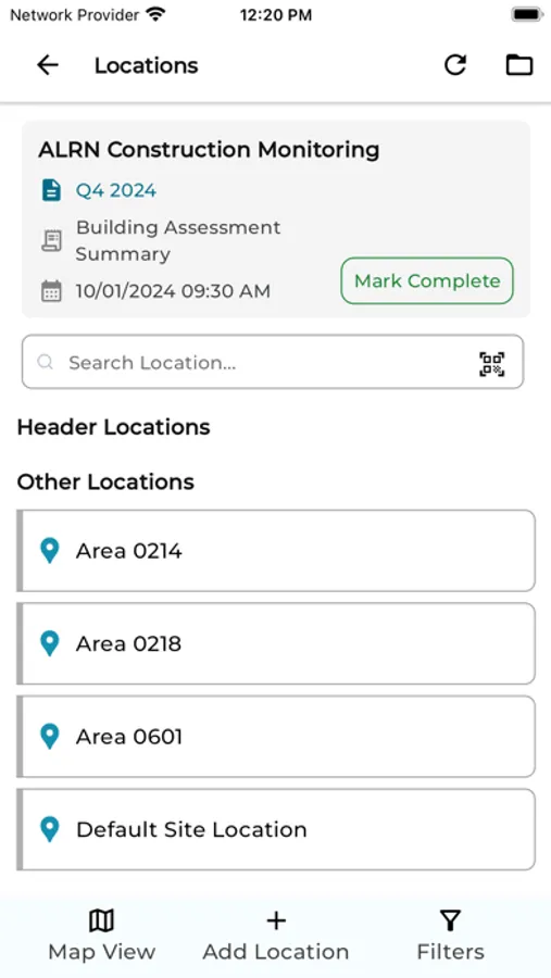
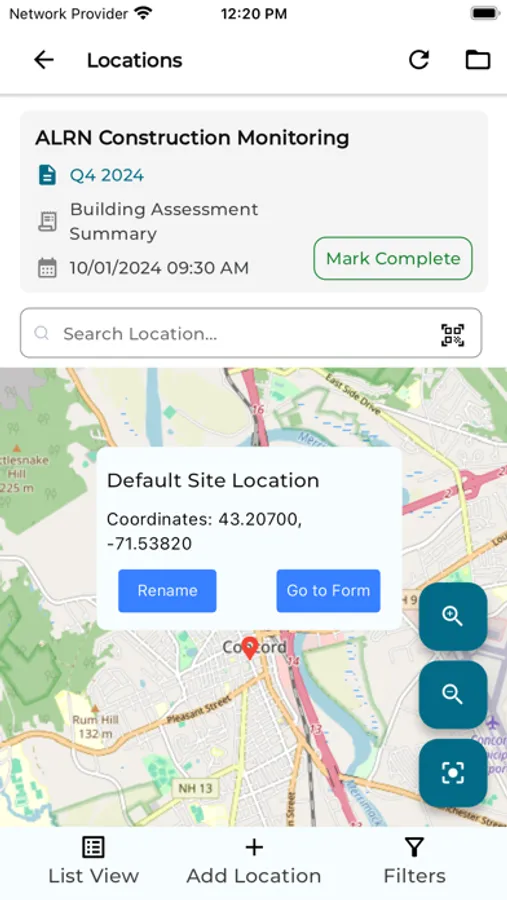
With the QNOPY V2 mobile app, users can record data for various different types of field events. The platform provides validations to make sure the data entered is accurate and complete. The app prompts the users to collect necessary data and do calculations for certain fields in a form. Users can take pictures and draw on the pictures as they record data. Pictures are automatically attached to the forms. Users can draw on maps, tag locations on a map, and view tagged locations on a map, as well.
QNOPY V2 is a field data workflow automation platform for Civil, Environmental, and Asset Management industries. QNOPY V2 provides an end-to-end solution for data collection, storage, and reporting. It’s completely customizable and modular. Hundreds of field forms are available at the user’s fingertips, including forms for EHS Checklists, GWM monitoring, Construction Daily Logs, Building Inspections, Phase I ESAs, Soil Sampling, Pavement Evaluation, Daily Field Logs, Commissioning, and PCAs.
With the QNOPY V2 mobile app, users can record data for various different types of field events. The platform provides validations to make sure the data entered is accurate and complete. The app prompts the users to collect necessary data and do calculations for certain fields in a form. Users can take pictures and draw on the pictures as they record data. Pictures are automatically attached to the forms. Users can draw on maps, tag locations on a map, and view tagged locations on a map, as well.
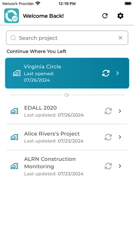
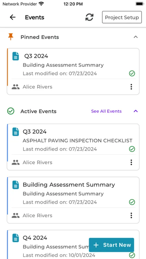
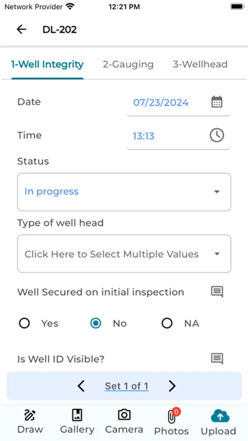
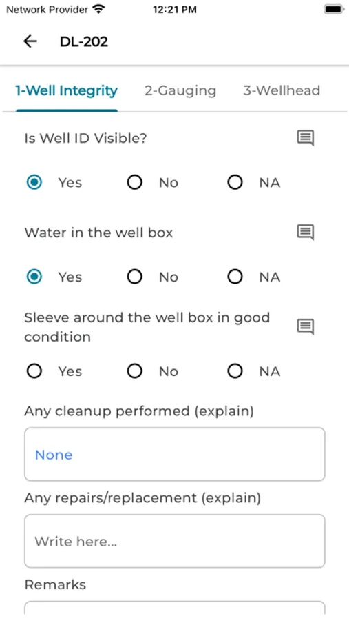
Qnopy V2 Screenshots
Tap to Rate:
Reviews for Qnopy V2
Qnopyuser
Love it!
Very easy to use, updated features make field data collection even more seamless than before.