About iStereo70
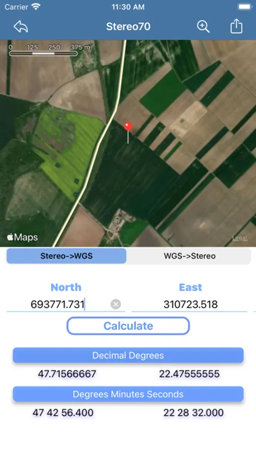
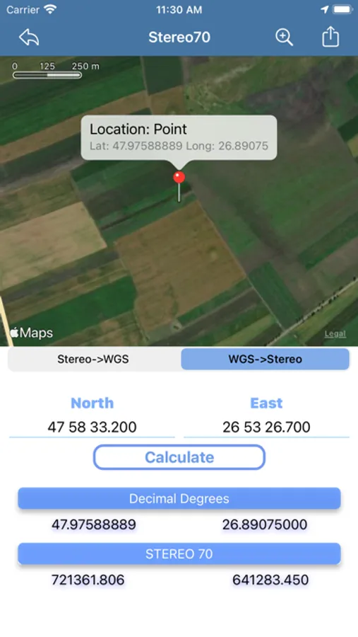
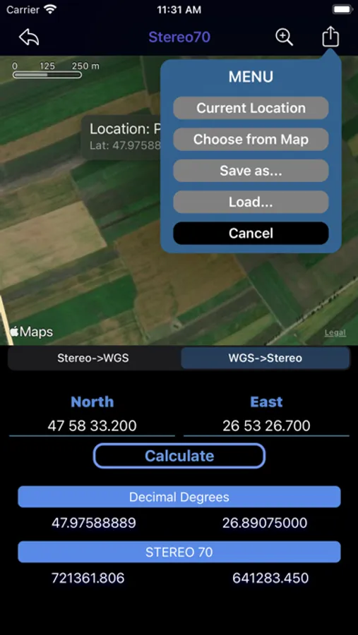
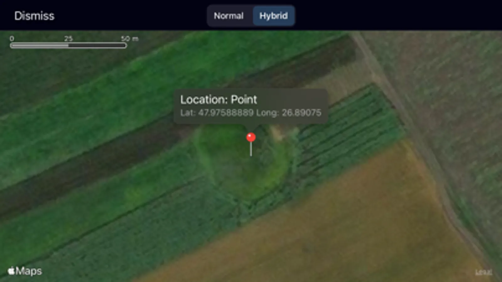
iStereo70 the first application for iPhone and iPad which help you to convert coordinates Stereo70 to WGS84 (ETRS89) or vice versa and check the location on Map (requires an internet connection).
Stereo70 is a projection system specific Romanian Maps for Non-military large and medium scale topographic mapping and engineering survey.
It was defined by information from ANCPI (National Agency for Cadastre and Land Registration)
The final result is a sequence of transformations using ANCPI Parameters:
Convert Stereo70 to WGS84 (DD and DMS)
- X, Y STEREO70 to B, L Krasovsky1940
- B, L Krasovsky1940 to B, L WGS84 (ETRS89)
Convert WGS84 (DMS) to Stereo70
- B, L WGS84 (ETRS89) to B ,L Krasovsky1940
- B, L Krasovsky1940 to X, Y STEREO70
* For maximum accuracy, please use at least 2 decimal places for input coordinates
New features:
- Best accuracy (with 3 decimal places) - the best on the iOS market
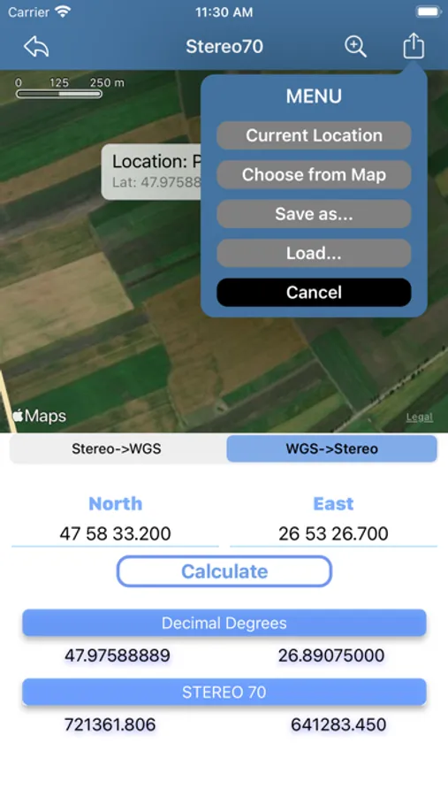
- You can choose from your current location
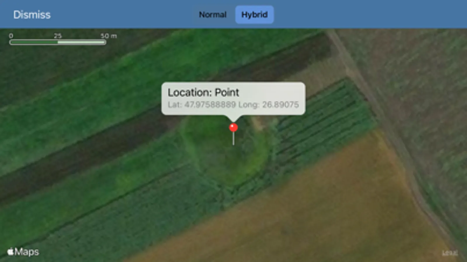
- Select a point on the map
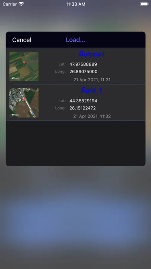
- Save locations
- Dark mode
The information and the results provided on this software are not a substitute for professional tool!
