About Whitehorse Trail Guide
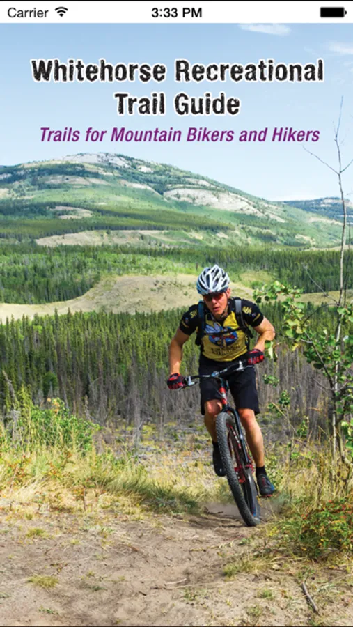
Whitehorse Recreational Trail Guide by Tarius Design
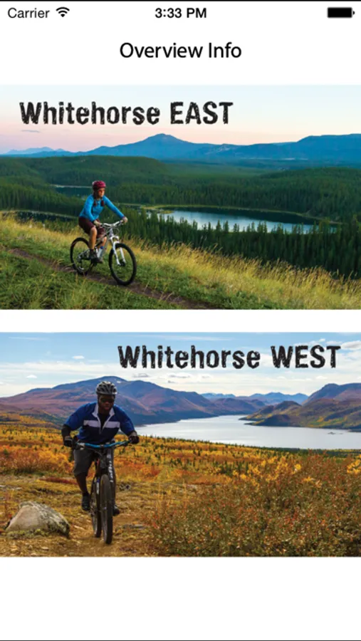
Explore the Wilderness City - Whitehorse, Yukon, with over 700km of local and neighbourhood trails used by residents and visitors to the north. The app focuses primarily on the non-motorized recreational trails that are becoming world renowned for their: proximity to urban life and ease of access; variety of terrain and skill ratings; and its unique ecological landscape with excellent scenery, and flora and fauna.
Voted Best Mountain Bike Destination in 2013 by Outside Magazine, Whitehorse is sure to impress, inspire and fulfill your outdoor adventure appetite.
Features:
• Works without a cell signal or Wi-Fi! Once downloaded, the app uses your mobile's GPS.
• Cell data is not required to view the maps as they are stored on your device.
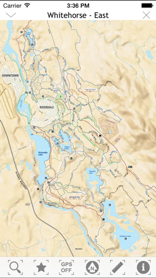
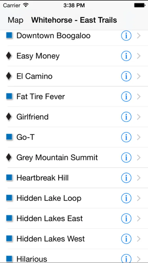
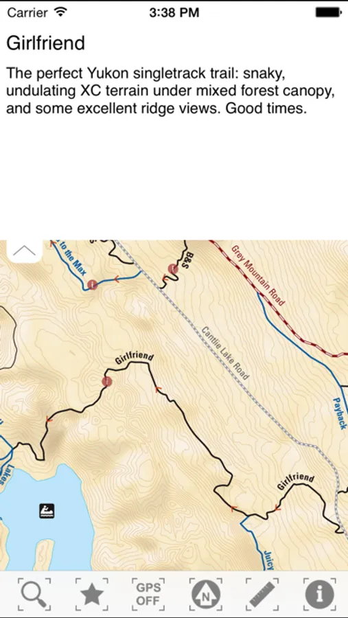
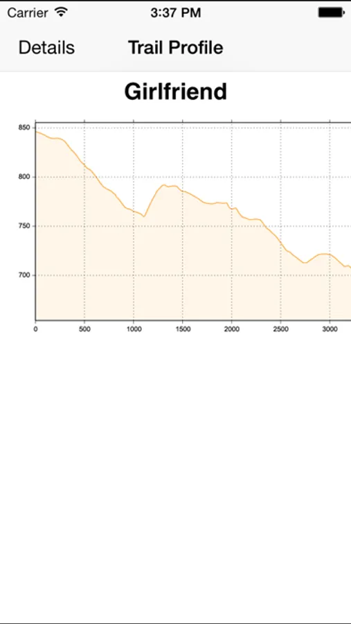
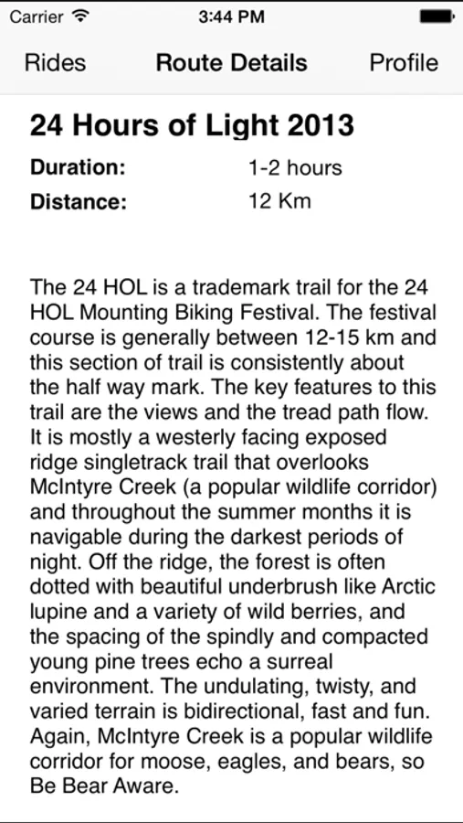
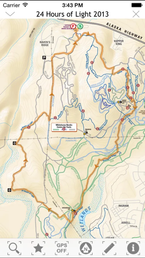
• Trail descriptions, suggested loops, and elevation profiles
• Trail length and difficulty ratings
• Location tracking enabled; showing you exactly where you are on the trail!
• Compass graphic to assist with map orientation
• Dynamic scale bars to help judge distances
Explore the Wilderness City - Whitehorse, Yukon, with over 700km of local and neighbourhood trails used by residents and visitors to the north. The app focuses primarily on the non-motorized recreational trails that are becoming world renowned for their: proximity to urban life and ease of access; variety of terrain and skill ratings; and its unique ecological landscape with excellent scenery, and flora and fauna.
Voted Best Mountain Bike Destination in 2013 by Outside Magazine, Whitehorse is sure to impress, inspire and fulfill your outdoor adventure appetite.
Features:
• Works without a cell signal or Wi-Fi! Once downloaded, the app uses your mobile's GPS.
• Cell data is not required to view the maps as they are stored on your device.
• Trail descriptions, suggested loops, and elevation profiles
• Trail length and difficulty ratings
• Location tracking enabled; showing you exactly where you are on the trail!
• Compass graphic to assist with map orientation
• Dynamic scale bars to help judge distances
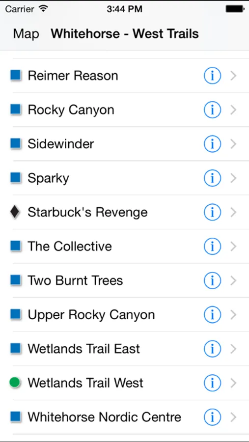
Whitehorse Trail Guide Screenshots

Tap to Rate: