With this EFB, you can access weather data, airport information, and charts for pilots worldwide. Includes METARs, TAFs, NOTAMs, radar, and terrain views.
AppRecs review analysis
AppRecs rating 4.5. Trustworthiness 62 out of 100. Review manipulation risk 22 out of 100. Based on a review sample analyzed.
★★★★☆
4.5
AppRecs Rating
Ratings breakdown
5 star
93%
4 star
4%
3 star
1%
2 star
1%
1 star
1%
What to know
✓
Low review manipulation risk
22% review manipulation risk
✓
High user satisfaction
93% of sampled ratings are 5 stars
✓
Authentic reviews
No red flags detected
About WindCheck
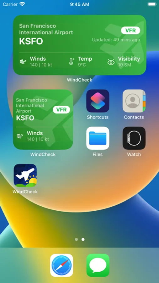
WindCheck® is a user-friendly EFB for pilots across the world.
► METARs and TAFs for most airports across the world.
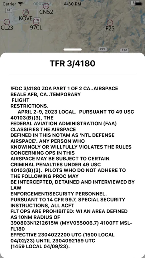
► TFRs, NOTAMs, for every airport in the world.
► AIRMETs, SIGMETs, CWAs, Fax Charts, with world coverage.
► 3D Bird's Eye view for every runway in the world.
► Airport diagrams and procedure charts for the US.
► Runway/Taxiway closure and fuel limitation warnings.
► VFR and IFR sectionals for the U.S., always up to date.
► Webcams to assess local conditions across the world.
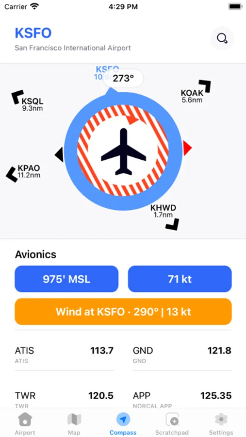
► Smart Compass with wind direction and nearby airports.
► World map with airports and their weather.
► Live internet ADS-B traffic on the map.
► Runway and radio frequency information for most airports across the world.
► Barometric backup altimeter.
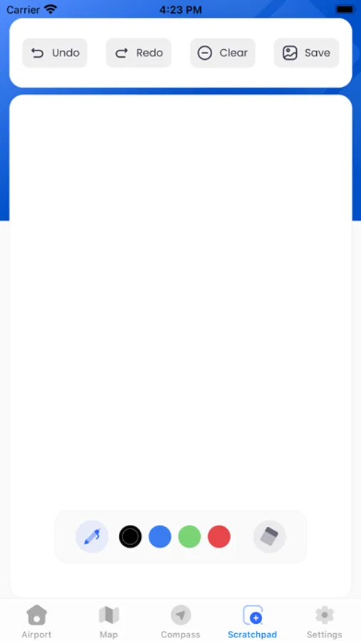
► Scratch pad.
► Airport data fully available offline.
End User License Agreement: https://www.apple.com/legal/internet-services/itunes/dev/stdeula/
► METARs and TAFs for most airports across the world.
► TFRs, NOTAMs, for every airport in the world.
► AIRMETs, SIGMETs, CWAs, Fax Charts, with world coverage.
► 3D Bird's Eye view for every runway in the world.
► Airport diagrams and procedure charts for the US.
► Runway/Taxiway closure and fuel limitation warnings.
► VFR and IFR sectionals for the U.S., always up to date.
► Webcams to assess local conditions across the world.
► Smart Compass with wind direction and nearby airports.
► World map with airports and their weather.
► Live internet ADS-B traffic on the map.
► Runway and radio frequency information for most airports across the world.
► Barometric backup altimeter.
► Scratch pad.
► Airport data fully available offline.
End User License Agreement: https://www.apple.com/legal/internet-services/itunes/dev/stdeula/
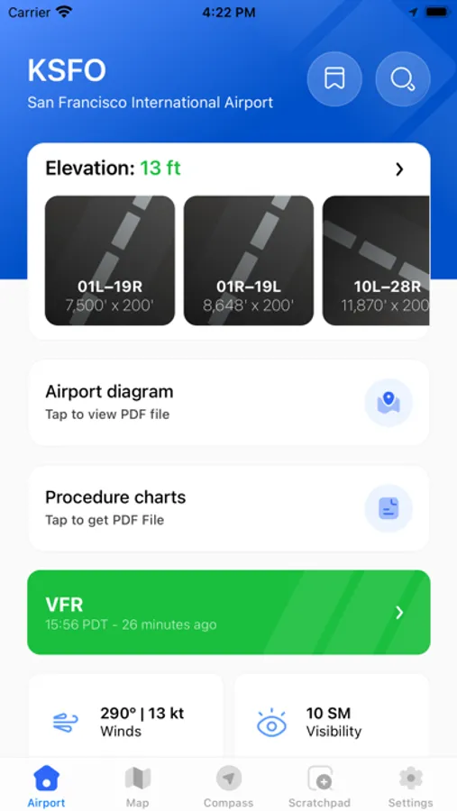
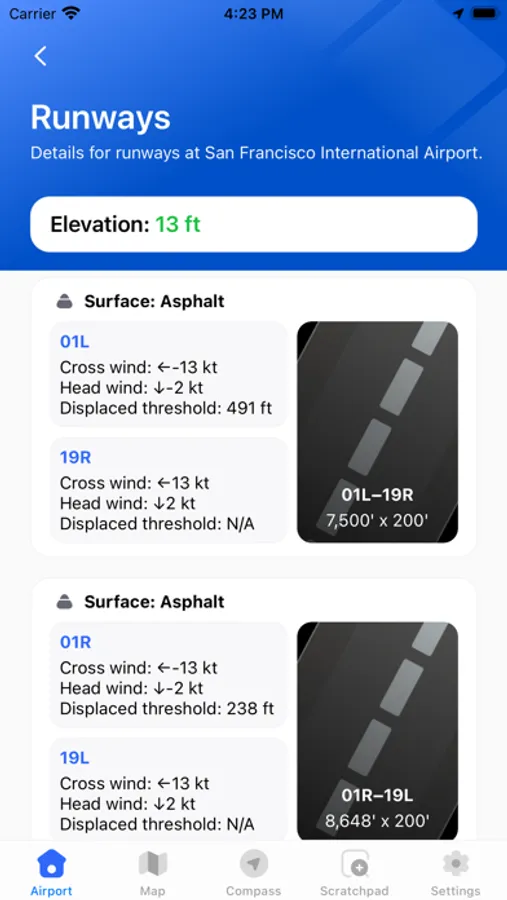
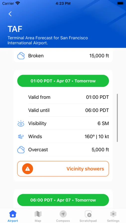
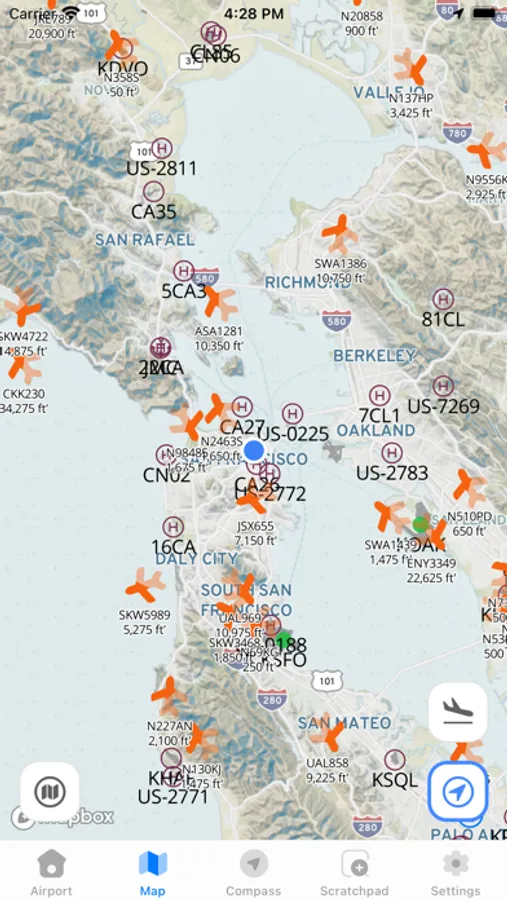
WindCheck Screenshots
Tap to Rate:
Reviews for WindCheck
Baquerito_Dom. Rep.
Aviation
Great app. Very instructive and helpful for flying.
Daniel Polukhin
Best app for sUAS Pilots
I was looking for a simple app that would give me VFR Sectional Chart with location access. You would think it’s simple, there should be tons of those apps, right? This is the first one I found. But it also has weather, METARS, TAFS, NOTAMS!! It’s a perfect preflight app.