About InfoViaggiando
Stay informed while travelling with the new Infomobility application InfoViaggiando.
The application provides real-time traffic information (available in English and Italian) about any news and ordinances issued by the Motorway Concessionaires, and it allows you to plan your entire road trip by consulting traffic forecasts and restrictions imposed on the A4 Venezia-Trieste, A4 Passante di Mestre, A4 Venezia-Padova, A4 Brescia-Padova, A34 Villesse-Gorizia, A23 Palmanova-Udine, A28 Portogruaro-Conegliano, A57 Mestre Ring Road, A31 Valdastico, Airport Connection “Marco Polo” Venezia.
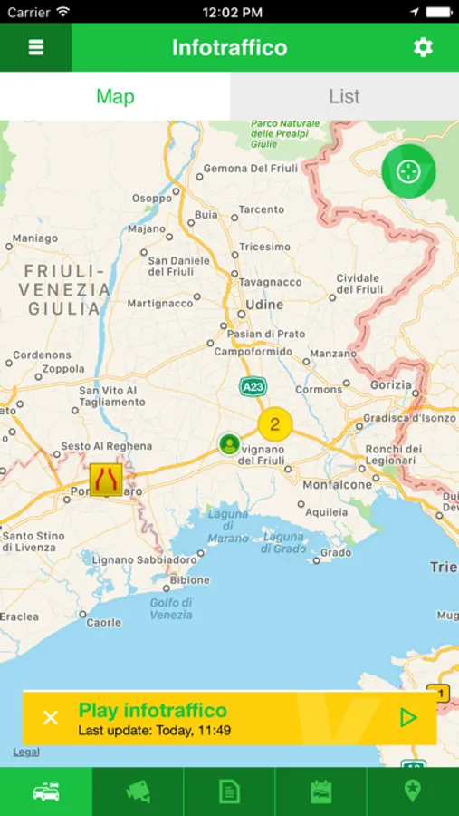
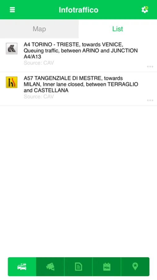
Live traffic information concerning road conditions. Any event (incidents, queues, roadworks) is highlighted by coloured icons on the map, or it appears in the available list.
PERSONAL AREA
the "personal area", allow you to sign up and receive real-time traffic news with e-mail and/or notifications (linked to the settings saved on www.infoviaggiando.it) .
TRAFFIC INFORMATION
Live traffic information concerning road conditions. Any event (incidents, queues, roadworks) is highlighted by coloured icons on the map, or it appears in the available list.
NEWS & TRAFFIC ORDINANCES
The news and the ordinances issued by the Motorway Concessionaire may be thoroughly consulted.
FORECASTS & RESTRICTIONS
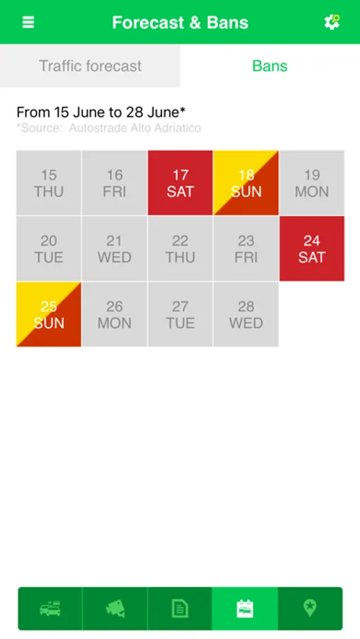
Two-week-ahead traffic forecast. Each traffic event has its own colour:
yellow – heavy traffic, possibility of congestion;
red – very heavy traffic, delays/congestion;
black – traffic congestion, long delays/queues.
Two-week-ahead traffic restriction timetable for heavy vehicles (over 7.5 tonnes) and oversize loads. Each traffic restriction has its own colour:
yellow – heavy vehicles
red – oversize loads
CAMERAS
Interactive map with the cameras along motorways managed.
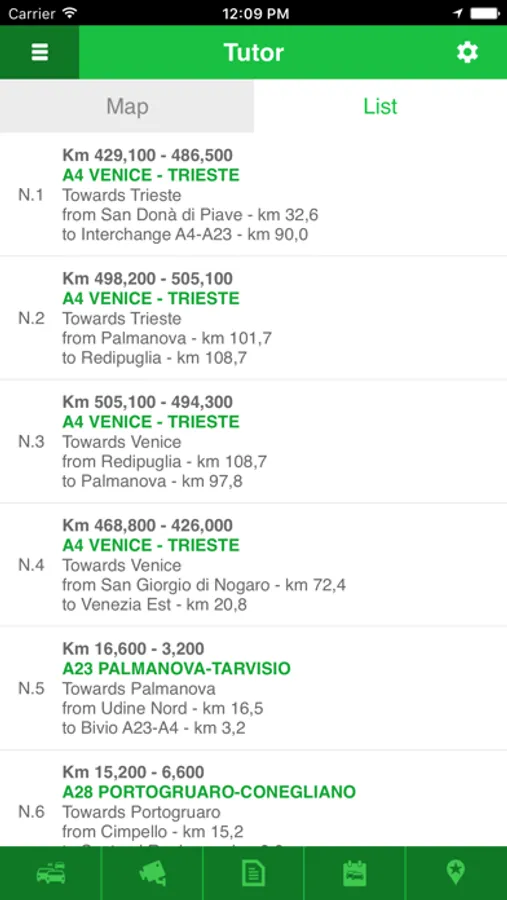
SAFETY TUTOR
Interactive map with the locations of the Safety Tutor, the system for average speed measurement, along motorways managed.
TOLL TARIFFS
The cost of the toll can be calculated online.
SERVICE AREAS
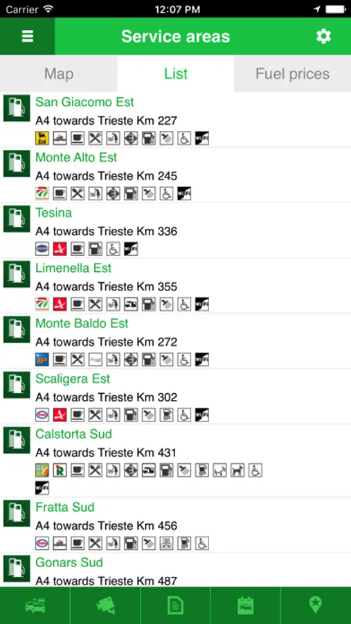
Interactive map with the service and rest areas along the motorways.
EMERGENCIES
The phone numbers of medical aids and the police to call with a click and with suggestions for a safer trip.
INFOTURISMO
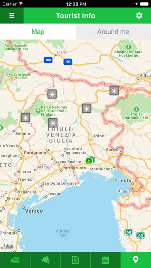
New section "Infoturismo" in cooperation with the regional agencies of tourism.
Interactive map with points of interest (artistic, cultural and historical) and their descriptions
This application requires a working data connection. Please contact your service provider for more information about the cost of the connection.
To localize the user, it is necessary to enable the application during the first start-up cycle.
This service requires a responsible approach. Do not access the service when driving. Please respect the speed limit, keep safe distance and comply with traffic rules.
