About Geo Measure It
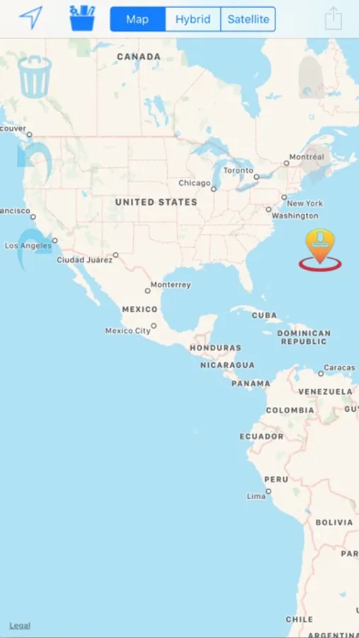
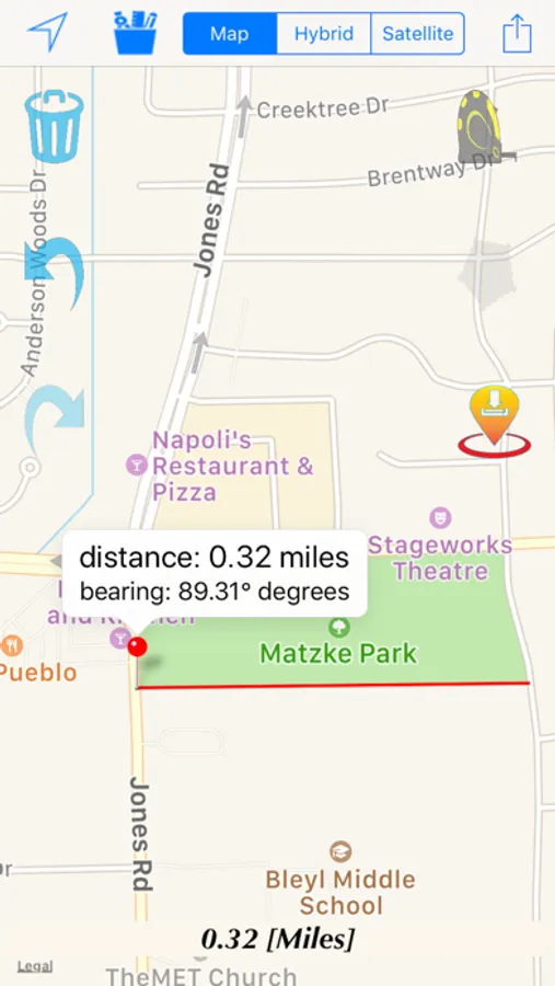
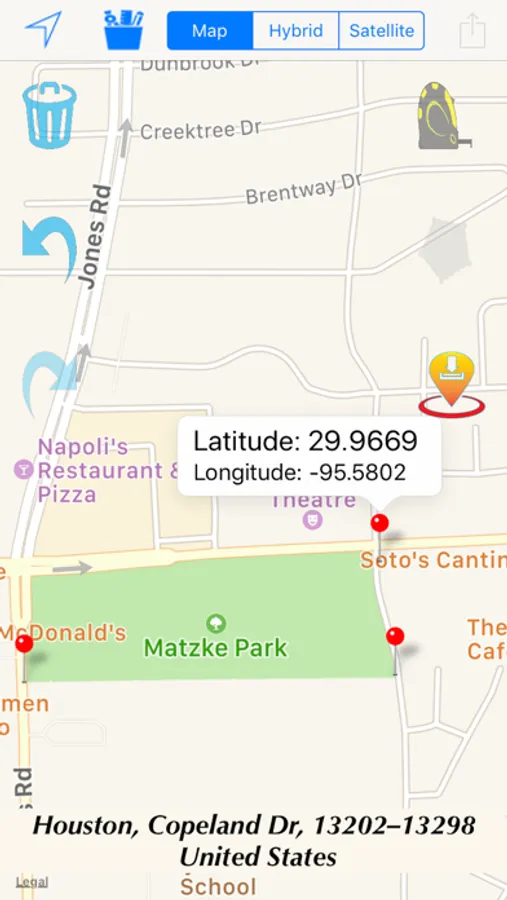
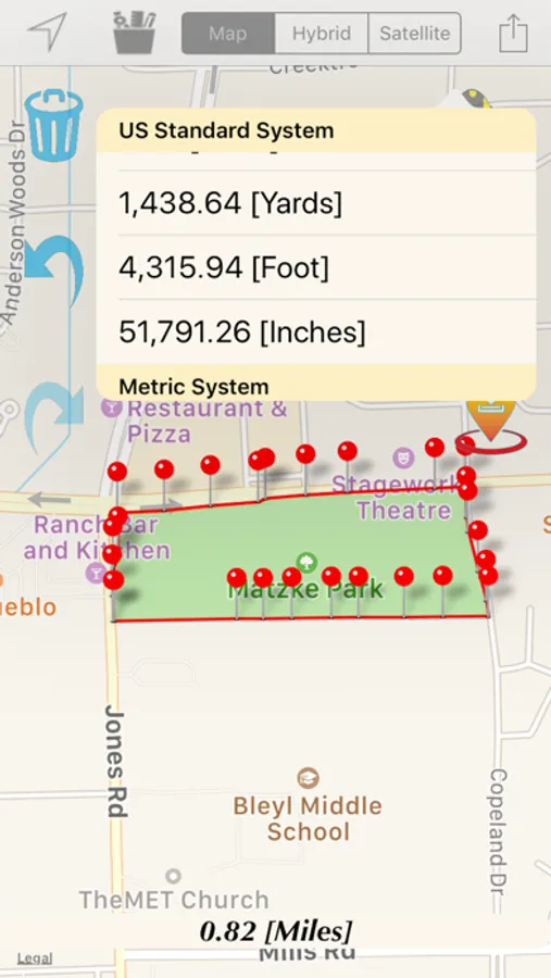
Geo Measure It lets you calculate geographical areas and distances on your iPhone/iPad. It is a simple tool that allows you to draw one or more lines on the map and measure its distance. For example, you can measure the mileage between two cities. Also, this tool can be used to measure the enclosed area of a draw shape/polyline on the map. Quickly and easily outline a property on the map and find its area, for instance. Both the English (the United States customary) System of measurement and Metric System are available.
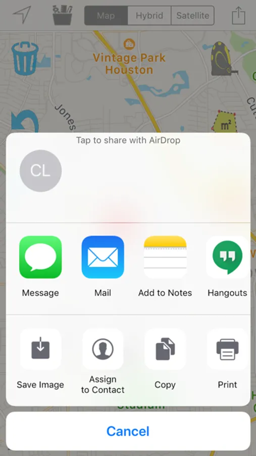
Share your findings with others via Twitter, Facebook, email, SMS, AirDrop, and Flickr.
Features:
-Measure areas and distances using only your phone or tablet
-Easily and quickly tap anywhere on the map to create a path you want to measure
-Option to move dropped pin and automatically update new distance/area based on changed pin
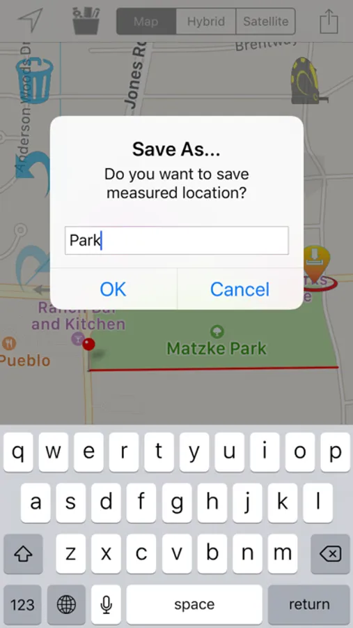
-Save your findings to review them later
-Share your calculated results with others
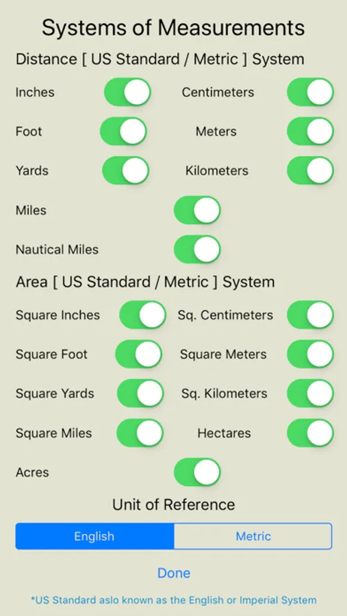
- SI Metric and US Standard system of measurements are available
