In this mapping and spatial analysis app, you can measure distances and areas, add points, lines, and polygons, and perform overlays and buffering tasks. Includes tools for drawing, editing, exporting data, and supporting multiple coordinate systems.
AppRecs review analysis
AppRecs rating 4.1. Trustworthiness 69 out of 100. Review manipulation risk 39 out of 100. Based on a review sample analyzed.
★★★★☆
4.1
AppRecs Rating
Ratings breakdown
5 star
67%
4 star
11%
3 star
6%
2 star
0%
1 star
17%
What to know
✓
High user satisfaction
78% of sampled ratings are 4+ stars (4.1★ average)
✓
Authentic reviews
Natural distribution, no red flags
About UTM Measure
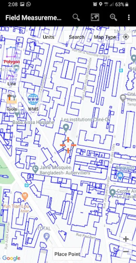
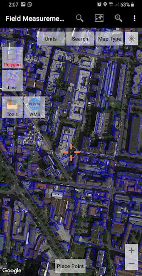
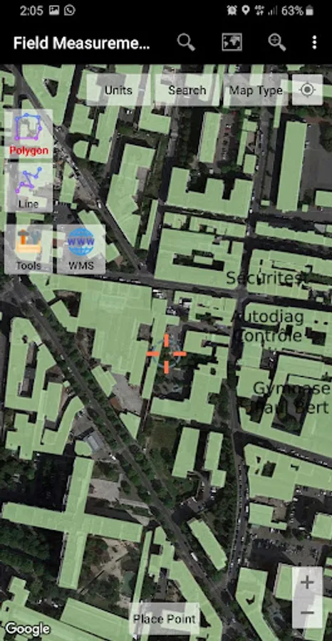
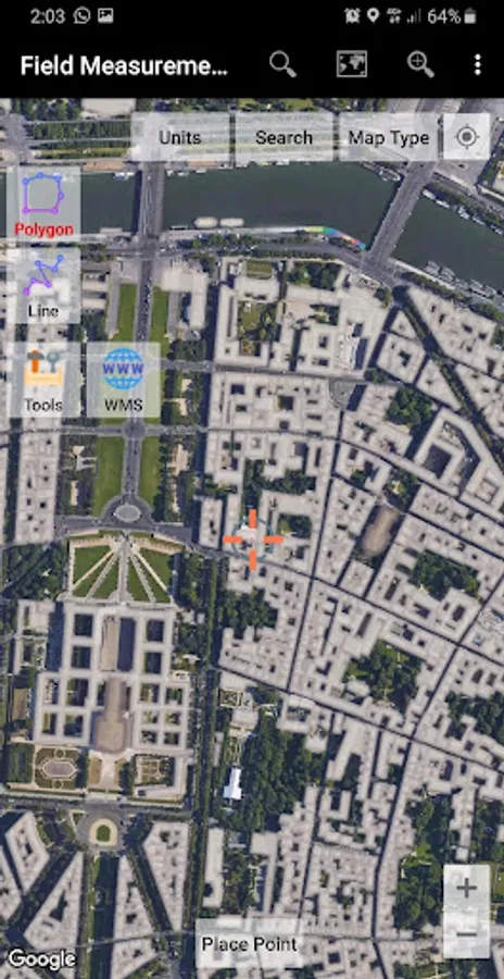
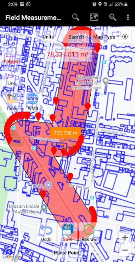
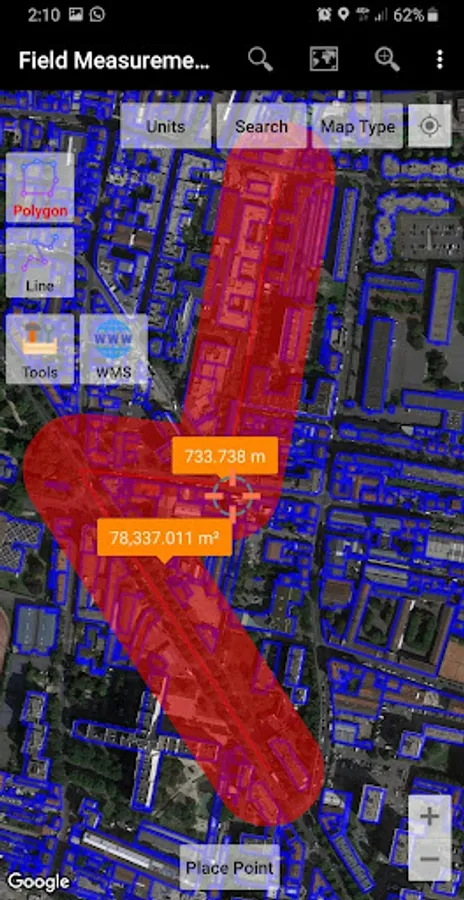
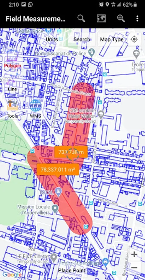
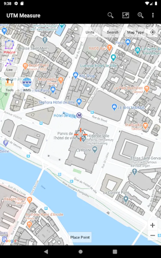
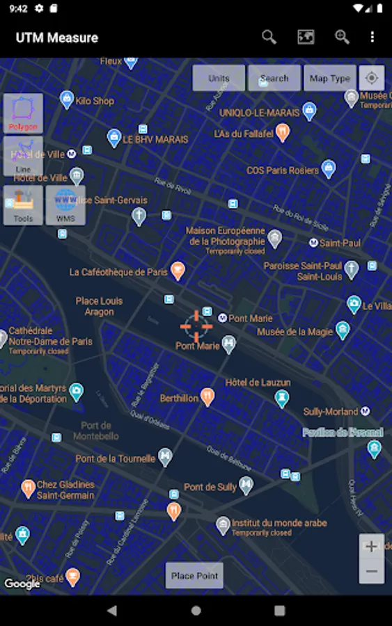
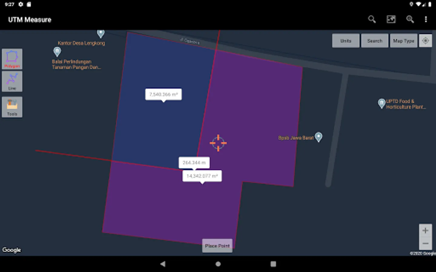
Measure area and distance, register points, lines and polygons from Satellite Imagery map data or GPS data, perform simple spatial analyzes such as overlays, buffering etc.
Equipped with sophisticated spatial drawing & editing tools such as snap nearest, cutting / dividing polygons with lines, smoothing, reducing vertices using Douglas Peucker's algorithm, editing vertices of lines / polygons, combining 2 lines / joints, turning lines into polygons, polygons into lines etc. .
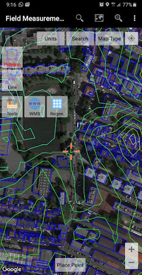
Make a contour line (premium).
Store unlimited amount of data in your local database including feature name information, photos, labels / notes, etc.
Export your data to KML, DXF or CSV files.
Working with Coordinate Reference Systems around the world from Minna Datum (Nigeria) to TM-3 (Indonesia), plot your polygons on a map based on coordinate data from various local CRS using EPSG Code.
Supports WMS (Map Server).
Any suggestions are welcome, please send via email to y2inatech@gmail.com or write a review. thanks.
Equipped with sophisticated spatial drawing & editing tools such as snap nearest, cutting / dividing polygons with lines, smoothing, reducing vertices using Douglas Peucker's algorithm, editing vertices of lines / polygons, combining 2 lines / joints, turning lines into polygons, polygons into lines etc. .
Make a contour line (premium).
Store unlimited amount of data in your local database including feature name information, photos, labels / notes, etc.
Export your data to KML, DXF or CSV files.
Working with Coordinate Reference Systems around the world from Minna Datum (Nigeria) to TM-3 (Indonesia), plot your polygons on a map based on coordinate data from various local CRS using EPSG Code.
Supports WMS (Map Server).
Any suggestions are welcome, please send via email to y2inatech@gmail.com or write a review. thanks.
UTM Measure Screenshots
Tap to Rate:
Reviews for UTM Measure
youness shafei
12/29/2025
good
dinesh kumar palke
12/3/2025
excelence