In this app, you can collect and analyze geographical data with coordinate registration and spatial measurement tools. Includes offline GPS, coordinate conversion, and area measurement features.
AppRecs review analysis
AppRecs rating 4.4. Trustworthiness 65 out of 100. Review manipulation risk 36 out of 100. Based on a review sample analyzed.
★★★★☆
4.4
AppRecs Rating
Ratings breakdown
5 star
89%
4 star
7%
3 star
2%
2 star
1%
1 star
1%
What to know
✓
High user satisfaction
89% of sampled ratings are 5 stars
About UTM Geo Map
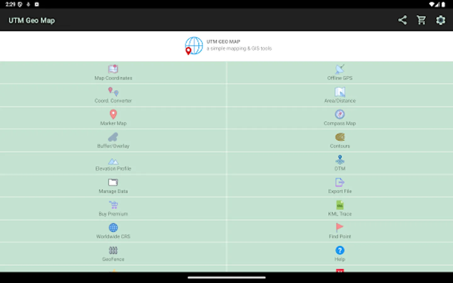
Complete, simple, easy to use & free application for Land Surveying, Topography, Bathymetry & GIS. Suitable for Geodesy Engineering, Civil Engineering, Geology and other disciplines related to maps, coordinates, location, address and spatial analysis. Can be used as a tool in determining position, coordinates, location & address, area & distance measurement, simple spatial analysis such as Overlay, Buffering, TIN / Delaunay Triangulation, Voronoi Diagram, Convex Hull, Smoothing, show WMS Map (Map Server) etc.
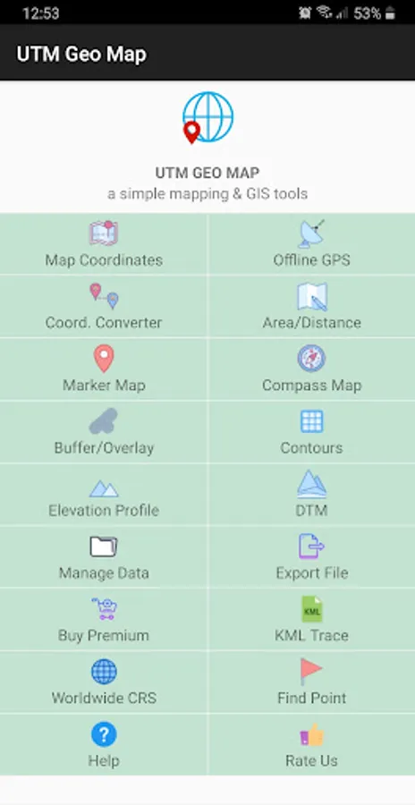
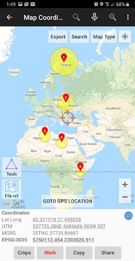
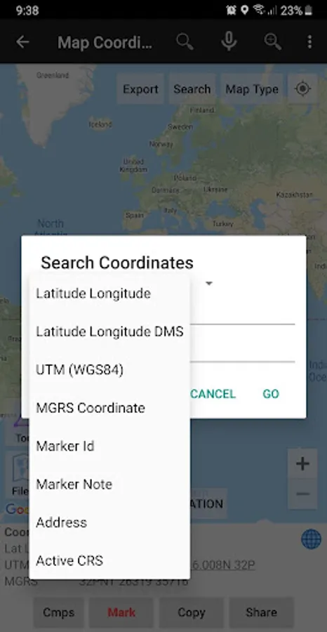
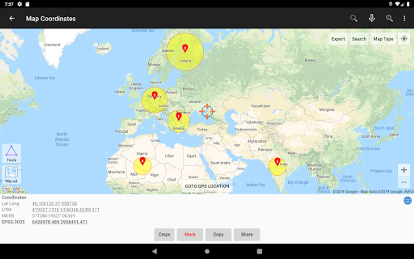
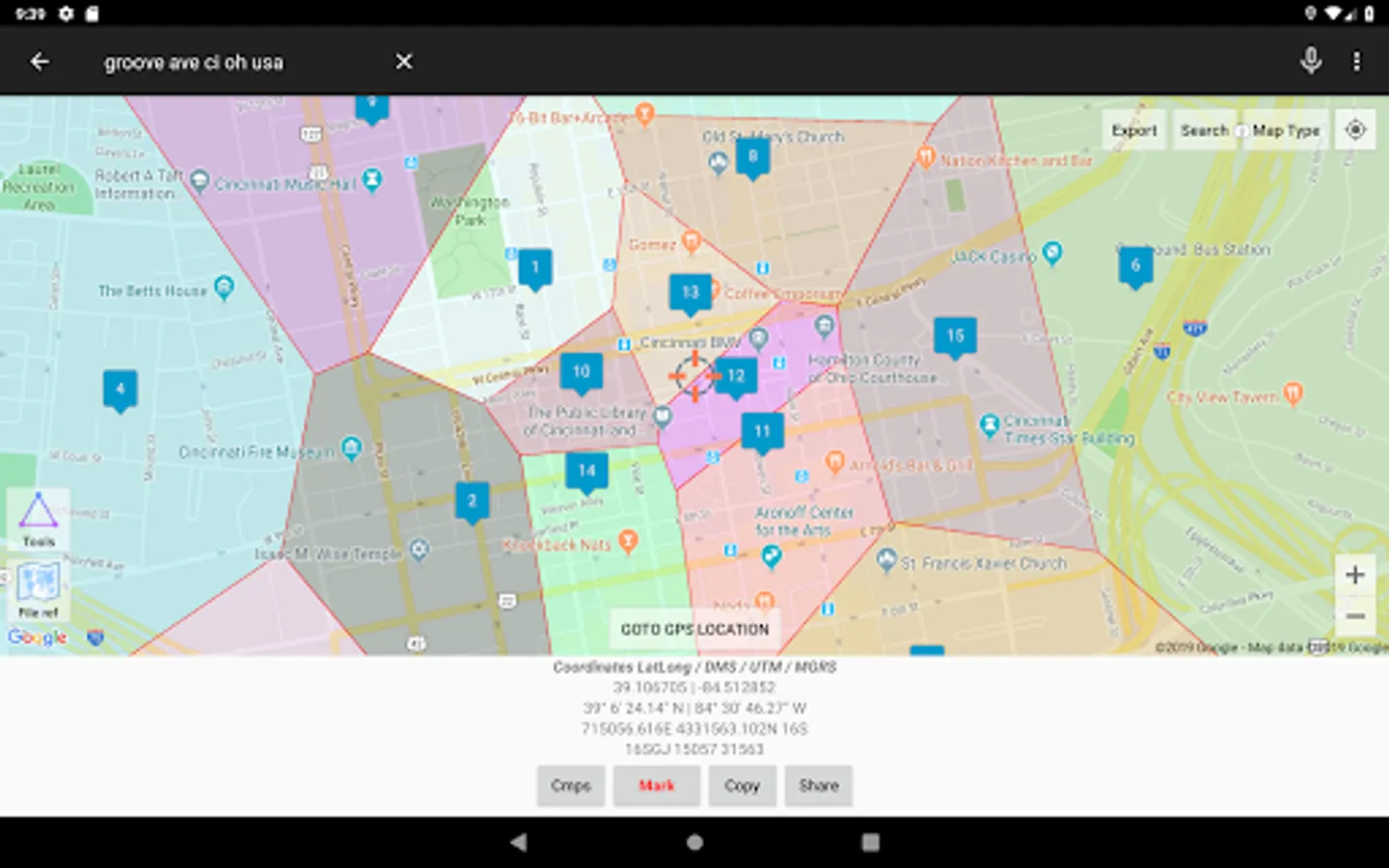
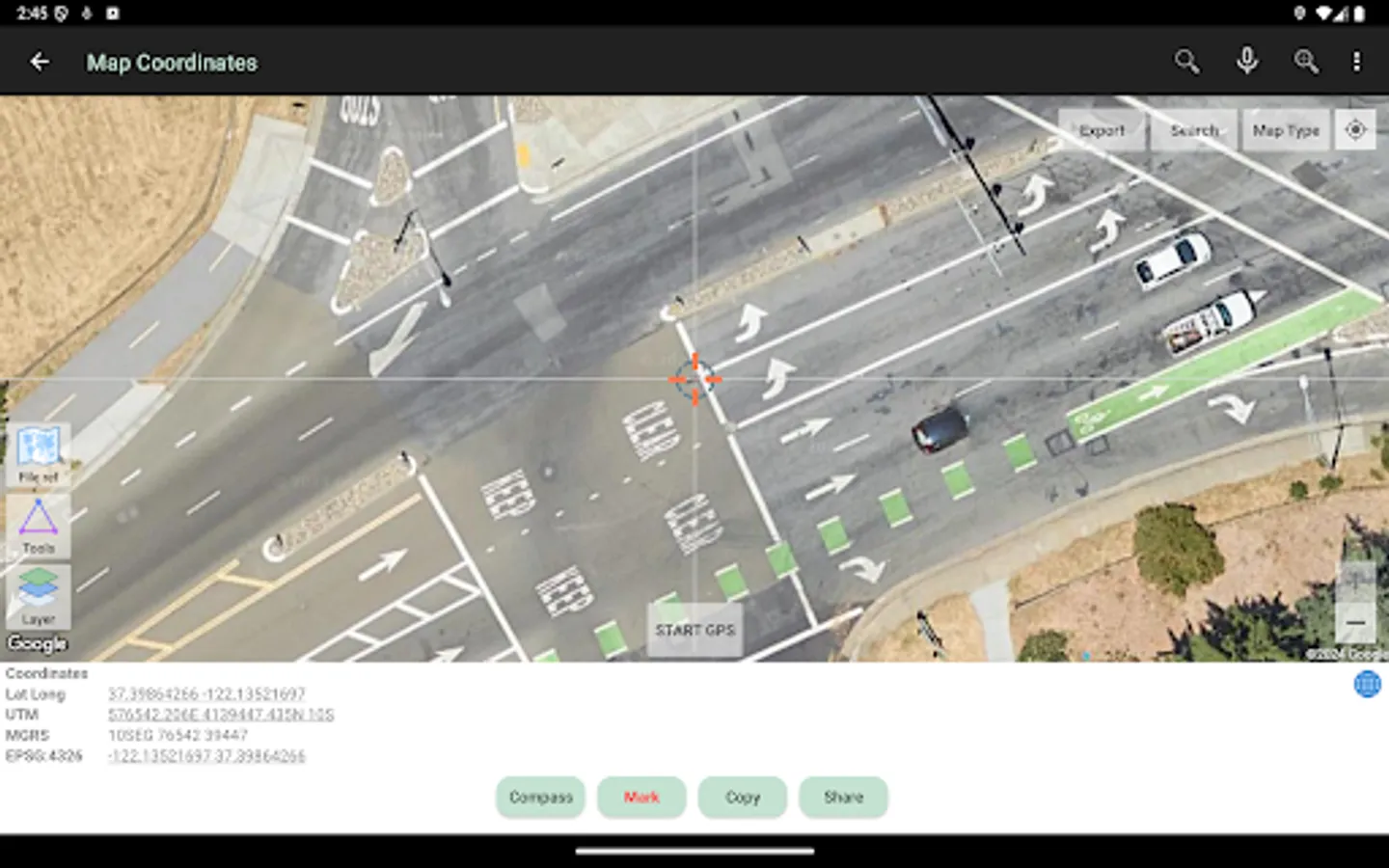
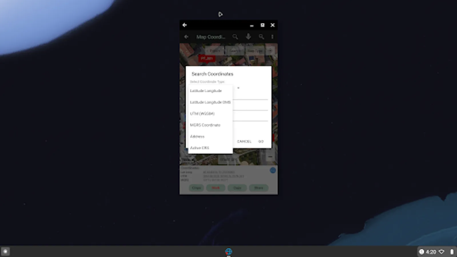
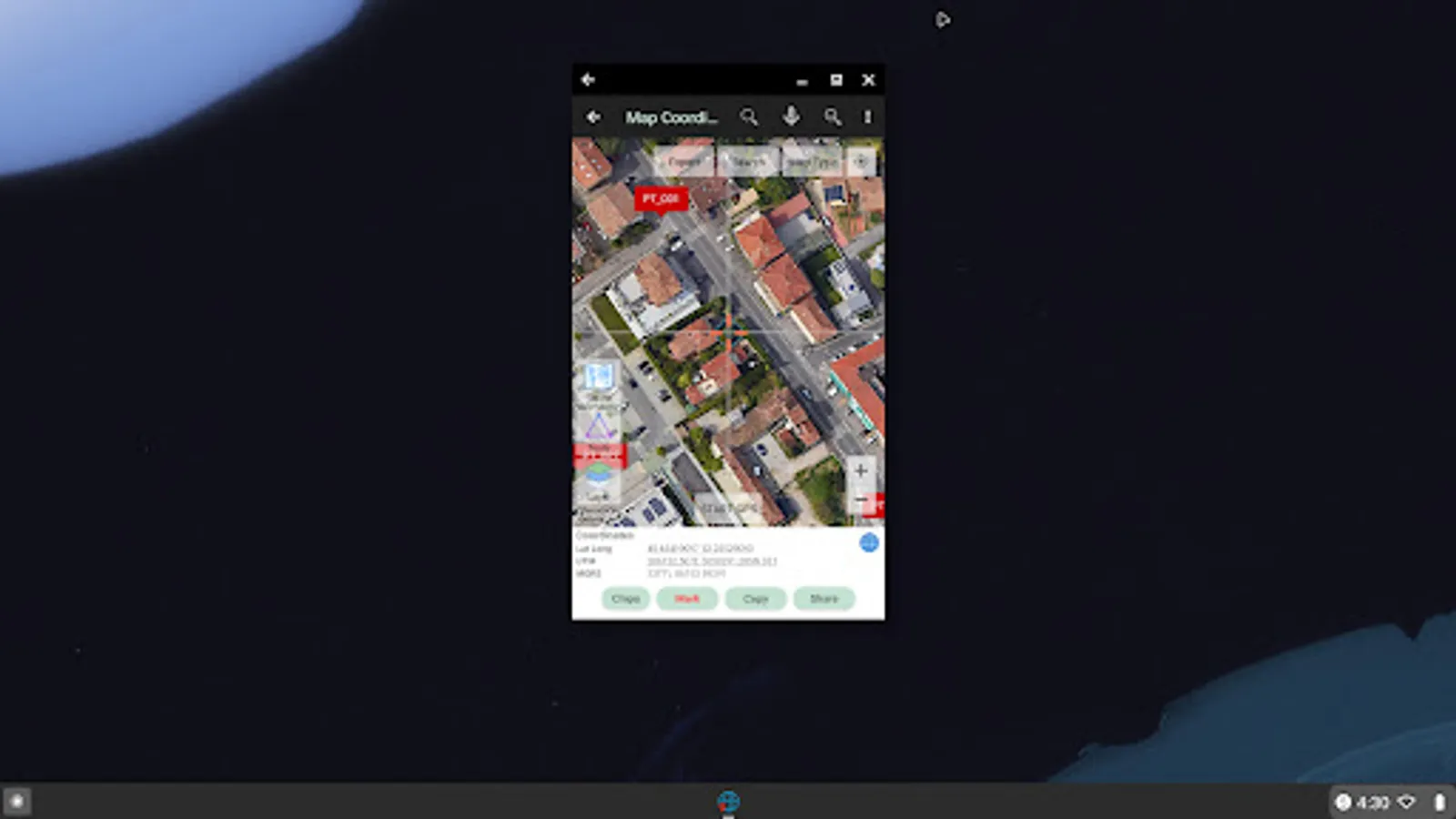
Map Coordinates: Can be used to obtain Latitude Longitude, UTM, MGRS (WGS84) & other CRS (using EPSG codes) in real time, register points complete with coordinate data, time taken, notes/labels, elevation (premium), addresses, photos etc. This module can also display TIN, Voronoi Diagrams and Buffers in realtime from existing points.
Offline GPS: Used to get coordinates in an offline state (without internet access), your cellphone will function like a Handheld GPS to get Latitude Longitude coordinates, UTM, MGRS, Elevation (ellipsoid), MSL Elevation (EGM96), accuracy, satellite and other useful information. Coordinates data can be stored in an unlimited number inside your databases, given notes / labels, photos or exported into CSV, KML, DXF & GPX formats.
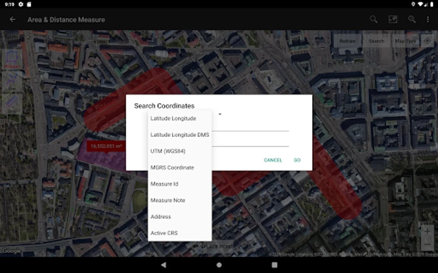
Coord. Converter: To convert coordinates manually from Latitude Longitude to UTM & MGRS and vice versa. It can also be used to convert addresses to coordinates (Geocoding, requires an internet connection). Some conversion is support for batch conversion.
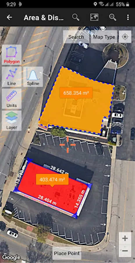
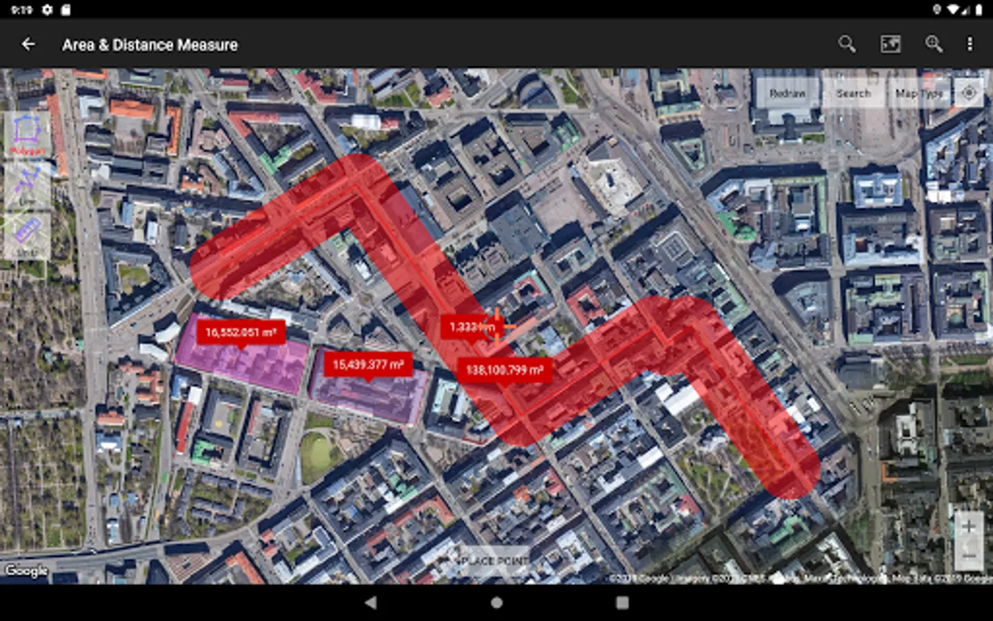
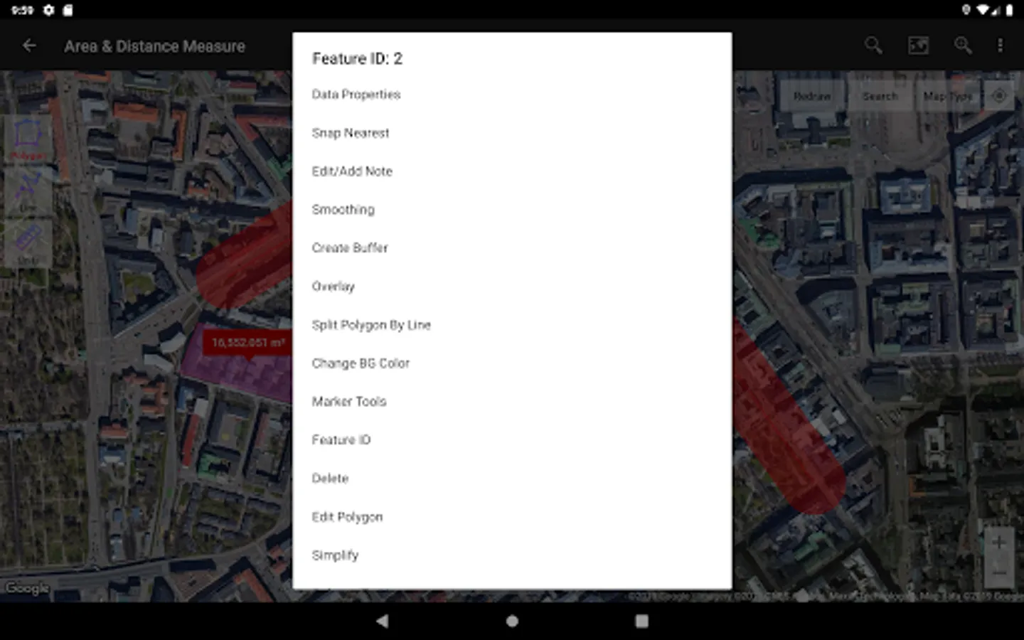
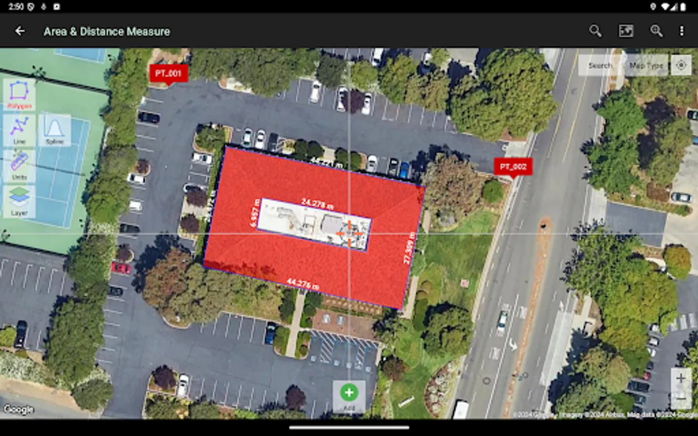
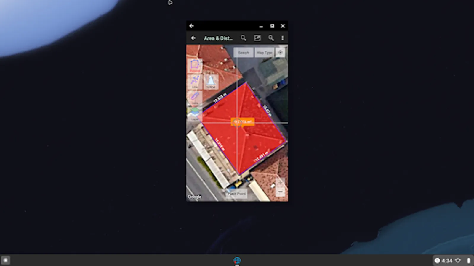
Area/Distance: Used to measure distance and area (support units: m, km, ft, miles, hectare, acre), register lines / polygons, make polygons automatically from measure points, create buffers from lines / polygons, overlay etc.. Line / polygon data can be stored in unlimited number inside your database, displayed on a map, added photos and labels or exported to CSV, KML or DXF format. Equipped with spatial editing algorithms such as Snap Nearest, Delete Object Inside / Outside Polygon, Smoothing (cubic bezier interpolation), Split Polygon By Line, and so on. Can read CSV & KML formats to import or display as reference files.
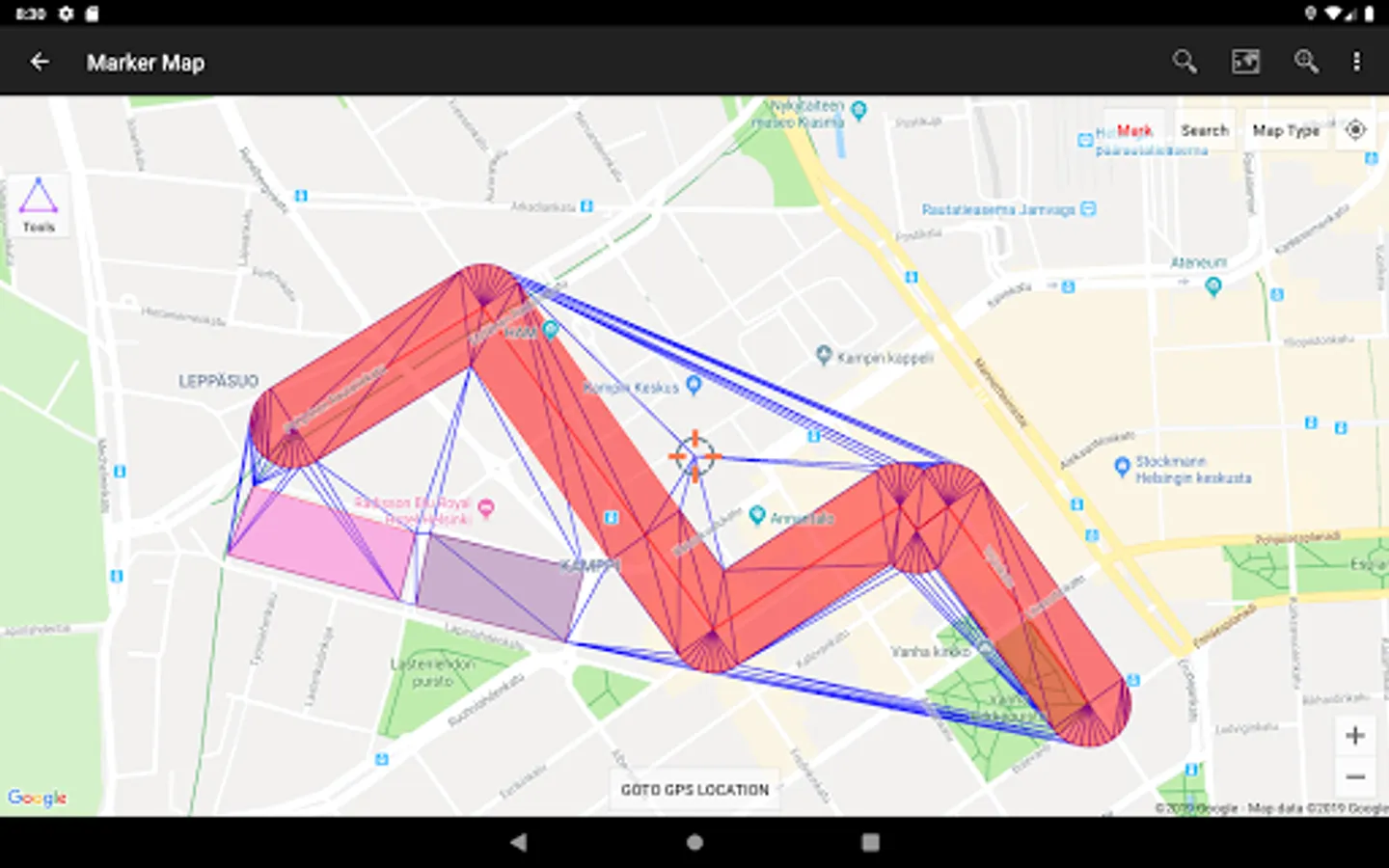
Marker Map: Similar to the Map Coordinates module but with more complete & complex geometry calculation such as displaying Dynamic / Variable Buffers. In this module geometric analysis such as TIN & Voronoi Diagrams can be made from a combination of point data (markers) as well as lines and polygons (breakline). These geometries can also be exported to KML or DXF files for use on other devices or PC.
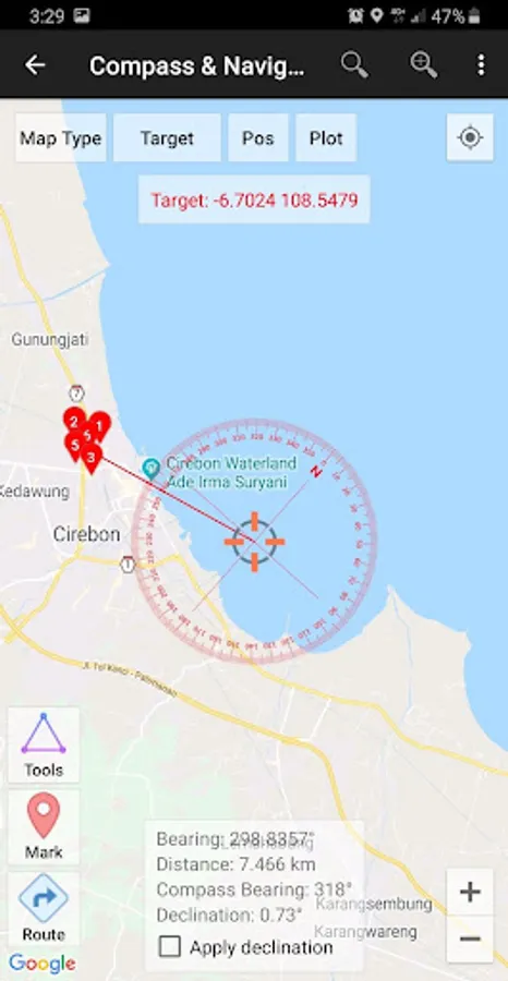
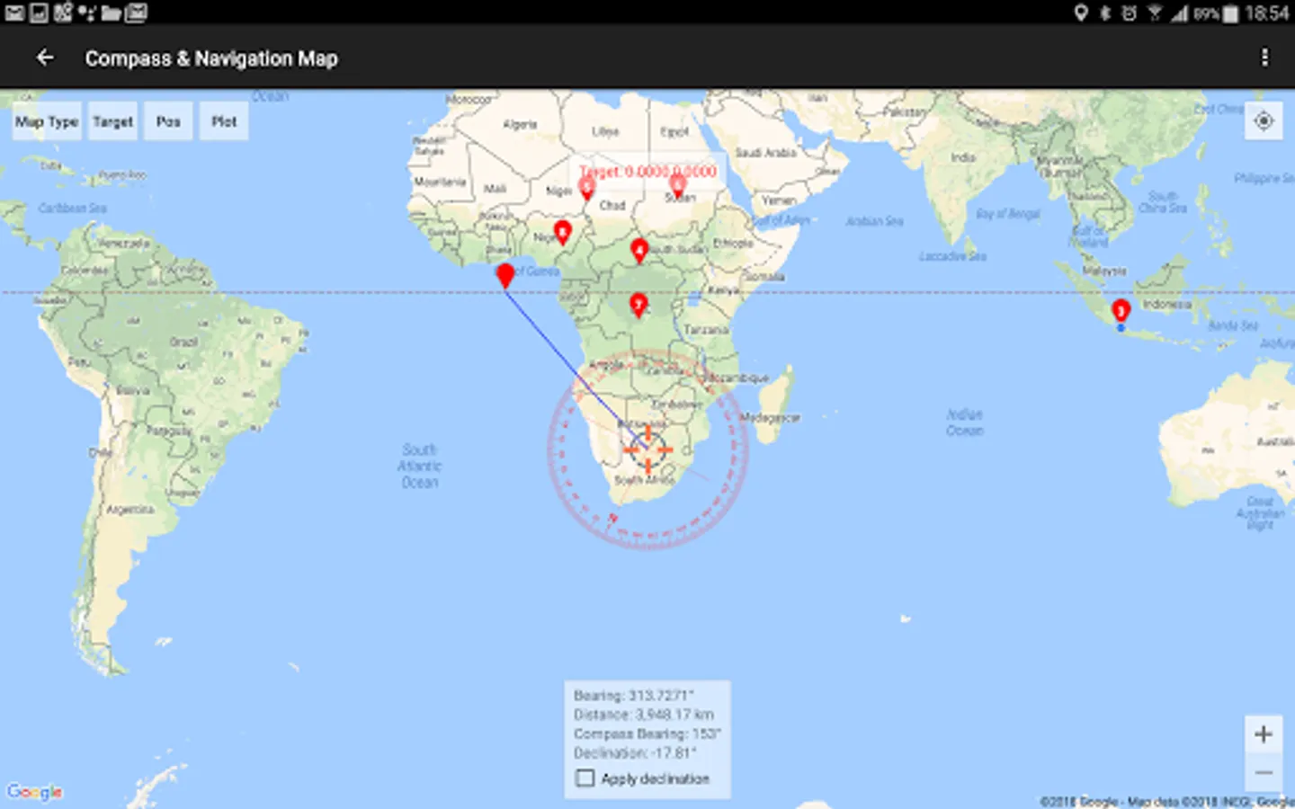
Compass Map: Module with a map and compass with magnetic declination, can be used to assist in navigating or measuring the azimuth angle and determining distance & direction.
Buffer/Overlay: Module to perform buffering & overlays (and other GIS operations) with several options including Union, Intersection, Difference and Symmetrical Difference.
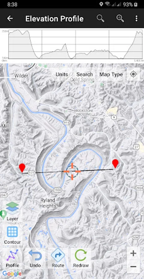
Elevation Profile: Used to create simple elevation profiles (cross section / long section) from height data with metric & ft / mile units. This module can also create elevation profiles from multiple points including elevation profile from route (premium).
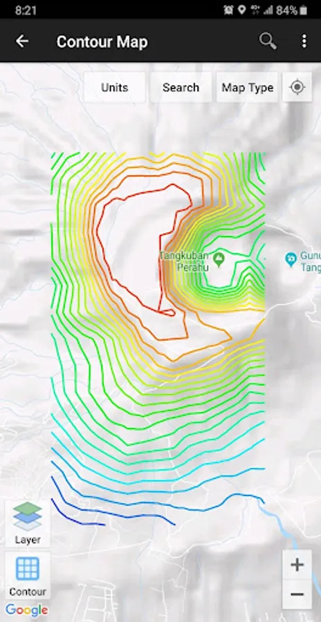
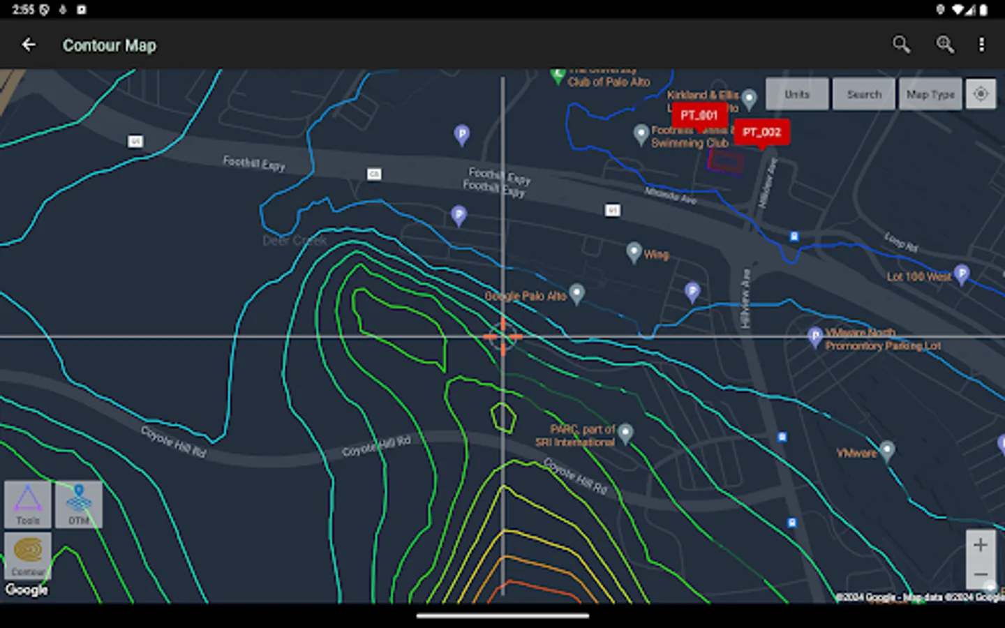
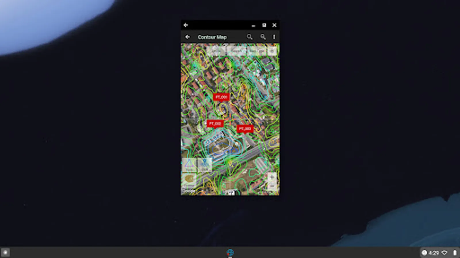
Contours: Module to generate contours based on number of contour lines, desired elevation or contour interval. This is premium module & need internet connection.
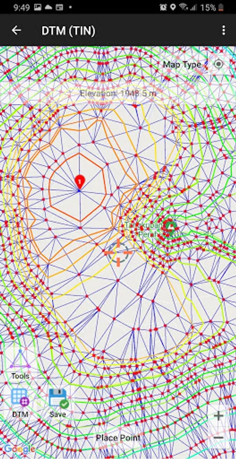
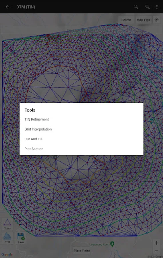
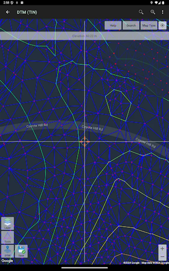
DTM: Digital Terrain Model, module to generate TIN / GRID surface & Contour Lines from elevation data. Calculate Cut And Fill volume, TIN refinement, Grid interpolation and dynamic Elevation Profile.
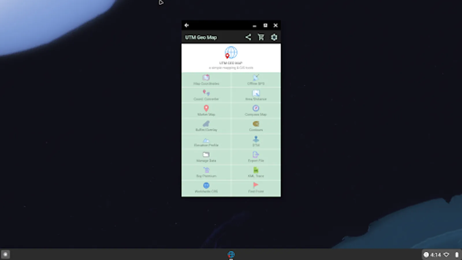
Some other modules.
Website: https://www.utmgeomap.com
Quick guide (pdf): https://www.utmgeomap.com/utmgeomapquickstart.pdf
YouTube: https://www.youtube.com/channel/UCspxQ5nQiqRD88g_-6GcCqw
Any suggestions are welcome, please submit via email to utmgeomapapp@gmail.com or write a review. Thanks.
Map Coordinates: Can be used to obtain Latitude Longitude, UTM, MGRS (WGS84) & other CRS (using EPSG codes) in real time, register points complete with coordinate data, time taken, notes/labels, elevation (premium), addresses, photos etc. This module can also display TIN, Voronoi Diagrams and Buffers in realtime from existing points.
Offline GPS: Used to get coordinates in an offline state (without internet access), your cellphone will function like a Handheld GPS to get Latitude Longitude coordinates, UTM, MGRS, Elevation (ellipsoid), MSL Elevation (EGM96), accuracy, satellite and other useful information. Coordinates data can be stored in an unlimited number inside your databases, given notes / labels, photos or exported into CSV, KML, DXF & GPX formats.
Coord. Converter: To convert coordinates manually from Latitude Longitude to UTM & MGRS and vice versa. It can also be used to convert addresses to coordinates (Geocoding, requires an internet connection). Some conversion is support for batch conversion.
Area/Distance: Used to measure distance and area (support units: m, km, ft, miles, hectare, acre), register lines / polygons, make polygons automatically from measure points, create buffers from lines / polygons, overlay etc.. Line / polygon data can be stored in unlimited number inside your database, displayed on a map, added photos and labels or exported to CSV, KML or DXF format. Equipped with spatial editing algorithms such as Snap Nearest, Delete Object Inside / Outside Polygon, Smoothing (cubic bezier interpolation), Split Polygon By Line, and so on. Can read CSV & KML formats to import or display as reference files.
Marker Map: Similar to the Map Coordinates module but with more complete & complex geometry calculation such as displaying Dynamic / Variable Buffers. In this module geometric analysis such as TIN & Voronoi Diagrams can be made from a combination of point data (markers) as well as lines and polygons (breakline). These geometries can also be exported to KML or DXF files for use on other devices or PC.
Compass Map: Module with a map and compass with magnetic declination, can be used to assist in navigating or measuring the azimuth angle and determining distance & direction.
Buffer/Overlay: Module to perform buffering & overlays (and other GIS operations) with several options including Union, Intersection, Difference and Symmetrical Difference.
Elevation Profile: Used to create simple elevation profiles (cross section / long section) from height data with metric & ft / mile units. This module can also create elevation profiles from multiple points including elevation profile from route (premium).
Contours: Module to generate contours based on number of contour lines, desired elevation or contour interval. This is premium module & need internet connection.
DTM: Digital Terrain Model, module to generate TIN / GRID surface & Contour Lines from elevation data. Calculate Cut And Fill volume, TIN refinement, Grid interpolation and dynamic Elevation Profile.
Some other modules.
Website: https://www.utmgeomap.com
Quick guide (pdf): https://www.utmgeomap.com/utmgeomapquickstart.pdf
YouTube: https://www.youtube.com/channel/UCspxQ5nQiqRD88g_-6GcCqw
Any suggestions are welcome, please submit via email to utmgeomapapp@gmail.com or write a review. Thanks.
UTM Geo Map Screenshots
Tap to Rate:
Reviews for UTM Geo Map
Thabo Moyo
12/30/2025
keeps saying something went wrong
Aule Frankie
12/28/2025
good