In this GPS app, you can record and share coordinate data with support for multiple reference systems and formats. Includes offline map projection support, data exporting, and measurement tools.
AppRecs review analysis
AppRecs rating 4.3. Trustworthiness 69 out of 100. Review manipulation risk 35 out of 100. Based on a review sample analyzed.
★★★★☆
4.3
AppRecs Rating
Ratings breakdown
5 star
70%
4 star
13%
3 star
5%
2 star
2%
1 star
11%
What to know
✓
High user satisfaction
82% of sampled ratings are 4+ stars (4.3★ average)
✓
Authentic reviews
Natural distribution, no red flags
About MGRS UTM GPS
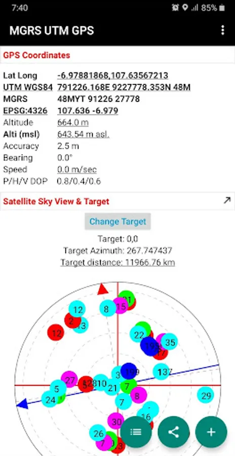
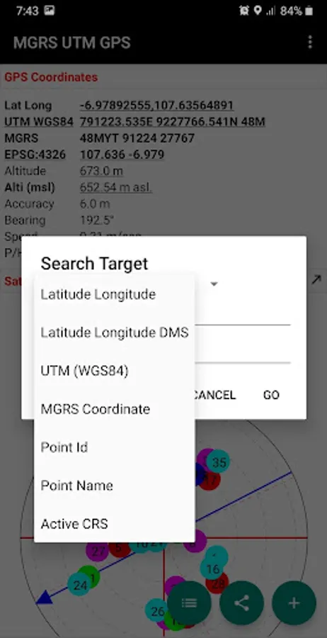
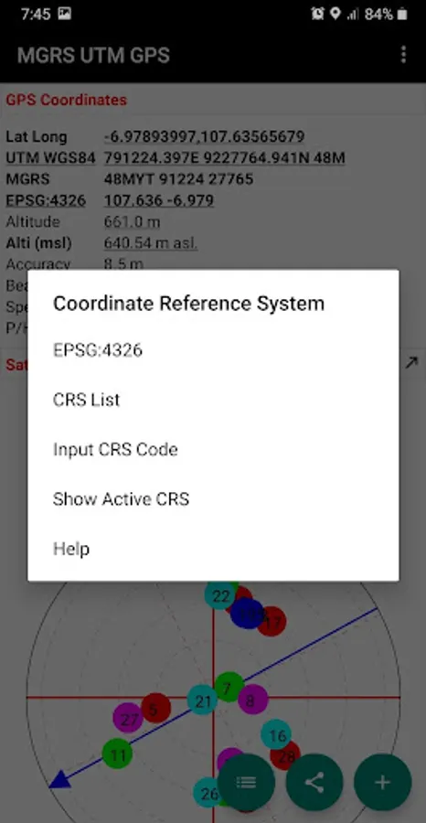
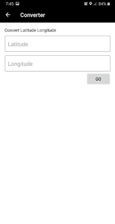
Simple scientific offline GPS application for Surveyors, Military, Orienteering and other outdoor activities with Latitude Longitude, UTM, MGRS and other Coordinate Reference System in the World (using EPSG Codes, You can find the codes for most commonly used map projections at www.spatialreference.org).
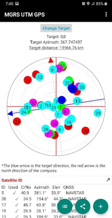
Additional information include GPS altitude (Ellipsoid), MSL altitude (EGM96), accuracy, speed, bearing and GPS Sky View complete with information about satellite name, satellite location (azimuth & elevation angle) etc..
Free Features:
- Getting GPS coordinates from most commonly used map projections / Coordinate Reference System in the World.
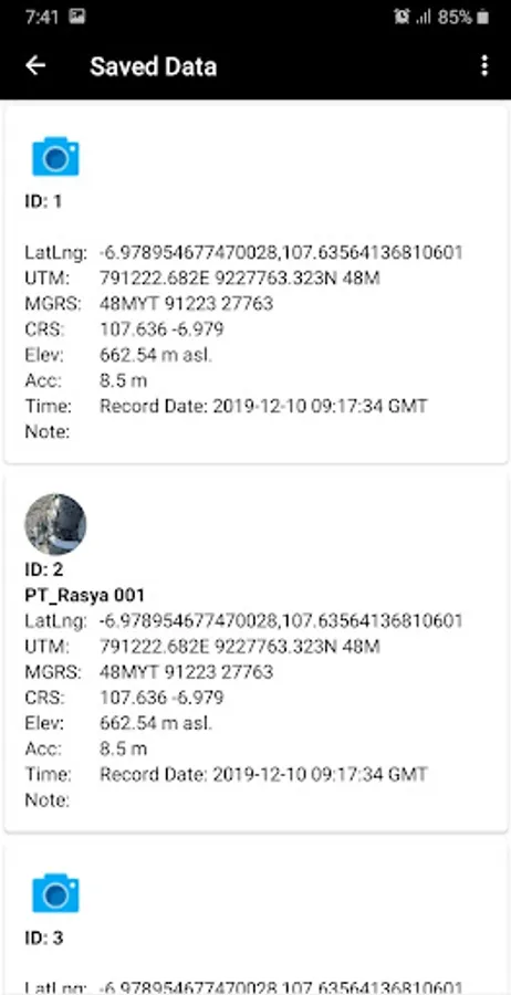
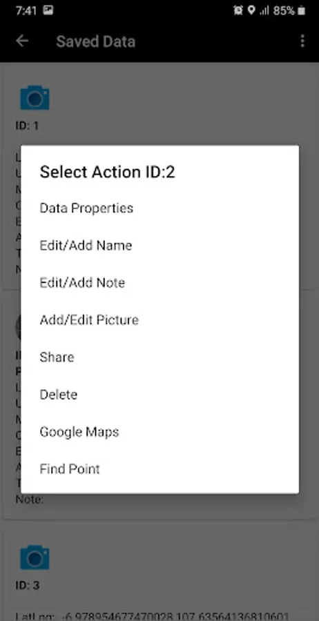
- Share or save unlimited measure data inside your database.
- Change altitude units (meter, feet).
- Change Latitude Longitude display format (decimal degrees, DMS)
- Change UTM display format (UTM with band letter, UTM with north/south hemisphere)
- Change speed units (m/sec, km/h, mi/h, knots)
- Add photo to your data.
- Labelling: edit notes / label on each observation data.
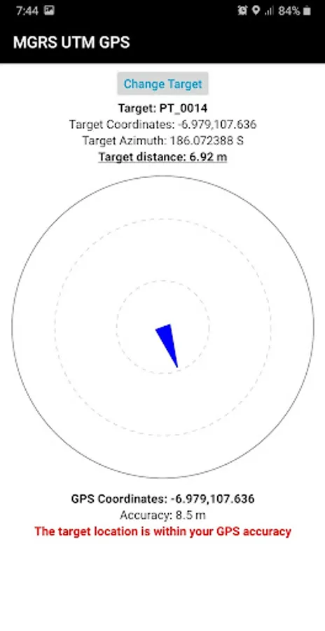
- Searching point / coordinate using compass.
- Export data to CSV, KML, GPX and DXF file.
- Calculate Area and Distance.
Premium Features:
- No Ads.
Additional information include GPS altitude (Ellipsoid), MSL altitude (EGM96), accuracy, speed, bearing and GPS Sky View complete with information about satellite name, satellite location (azimuth & elevation angle) etc..
Free Features:
- Getting GPS coordinates from most commonly used map projections / Coordinate Reference System in the World.
- Share or save unlimited measure data inside your database.
- Change altitude units (meter, feet).
- Change Latitude Longitude display format (decimal degrees, DMS)
- Change UTM display format (UTM with band letter, UTM with north/south hemisphere)
- Change speed units (m/sec, km/h, mi/h, knots)
- Add photo to your data.
- Labelling: edit notes / label on each observation data.
- Searching point / coordinate using compass.
- Export data to CSV, KML, GPX and DXF file.
- Calculate Area and Distance.
Premium Features:
- No Ads.
MGRS UTM GPS Screenshots
Tap to Rate:
Reviews for MGRS UTM GPS
Nasredin Mohamed (Madobe)
10/6/2025
ok
Lukman Balogun
9/25/2025
lovely app and user friendly but let there be more coordinate projections