AppRecs review analysis
AppRecs rating 2.0. Trustworthiness 61 out of 100. Review manipulation risk 24 out of 100. Based on a review sample analyzed.
★★☆☆☆
2.0
AppRecs Rating
Ratings breakdown
5 star
0%
4 star
0%
3 star
33%
2 star
33%
1 star
33%
What to know
✓
Low review manipulation risk
24% review manipulation risk
⚠
Mixed user feedback
Average 2.5★ rating suggests room for improvement
About Good Survey
for measuring levels of something or EDM(Electric Distance Measurement device) measurement.
Function of surveying computer
. 41 languages are available(English, Arabic, Bengali, Bulgarian, Catalan, Croatian, Czech, Danish, Finnish, French, German, Greek, Hindi, Hungarian, Indonesian, Italian, Japanese, Korean, Low German, Malay, Norwegian Bokmål, Persian, Polish, Portuguese, Romanian, Russian, Simplified Chinese, Slovak, Spanish, Swahili, Swedish, Thai, Traditional Chinese, Turkish, Ukrainian, Urdu, Vietnamese,Belarusian,Serbian,Srpski,Khmer)
. Sound and operational(+-) support are available when there is the keypad input.
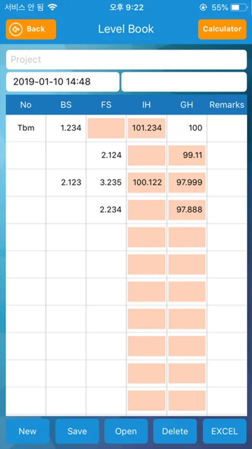
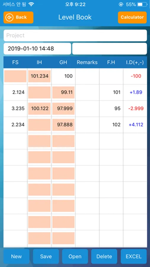
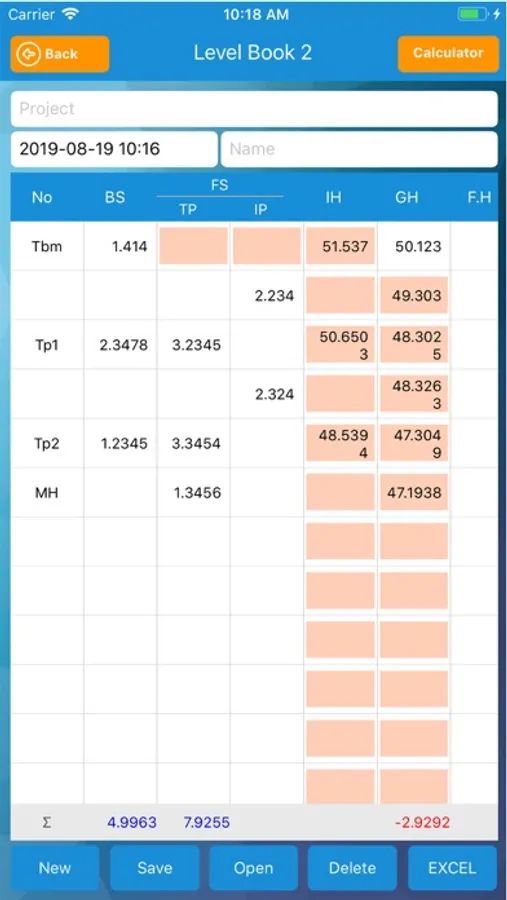
. When you enter a value of level, the ground level is displayed immediately
. If you enter the final height, the difference between the ground height and the final height is displayed automatically.
.The values of Level Measurement can be stored in the personal terminal and they can be saved as Excel file.
. Automatic numbering of station numbers in leveling (When entering the enter key)
. Excel file can be imported and inputted when inputting coordinate value (long touch)
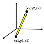
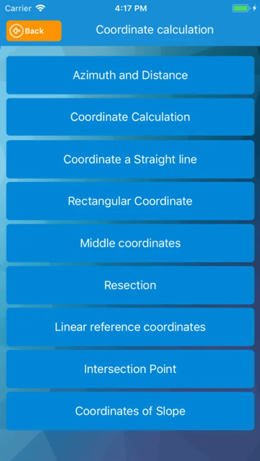
.You can get the distance and azimuth( Degree, Gradian, Radian) of two coordinates.
.If you know the coordinates of one point and azimuth and distance, you can calculate the coordinates of different points.
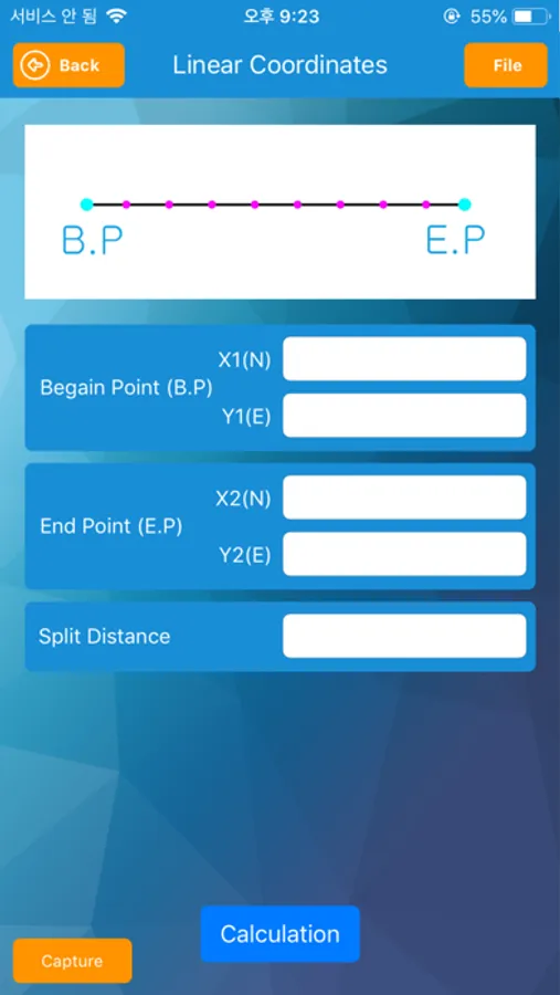
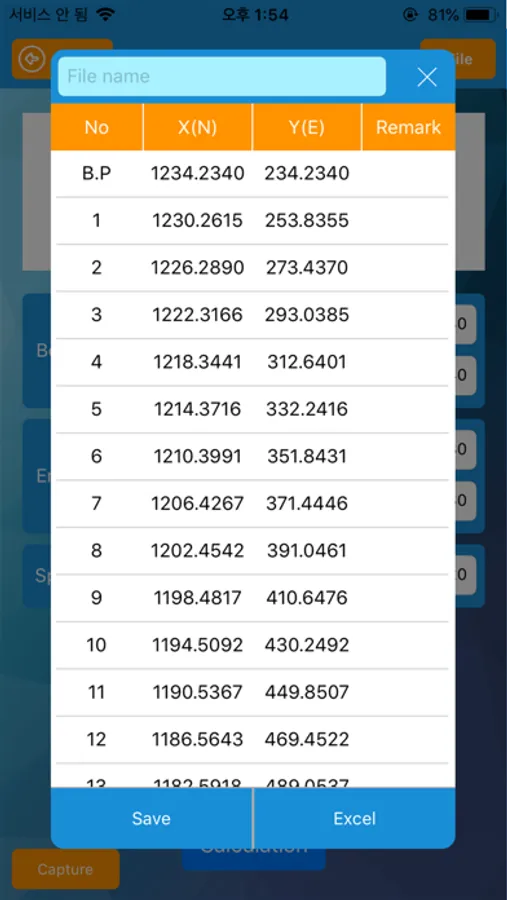
.If you know the coordinates of two points, you can get all coordinates on a straight line between two points.
.If you know the coordinates of two points, you can easily obtain the rectangular coordinates between two points.
.The coordinates of the center of two coordinates can be obtained.
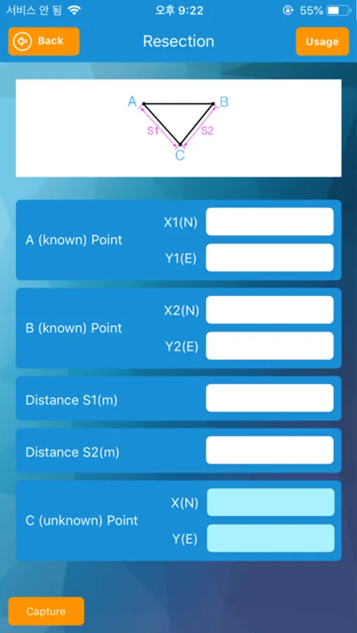
.If you know the coordinates of the two points, you can know the coordinates of the point that you do not know as a resection.
. The coordinates of the intersection of two straight lines can be obtained
. You can get the Coordinates(x,y,z) of Slope
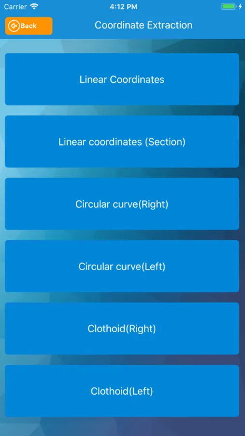
. All the coordinates of a straight line can be extracted and used as desired intervals.
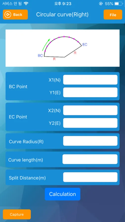
. All the coordinates of a circle line can be extracted and used as desired intervals.
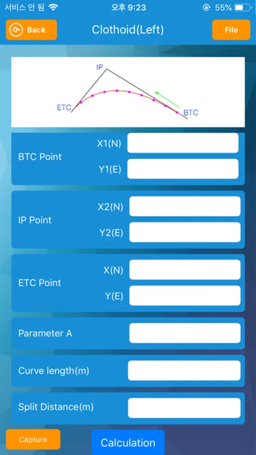
. All the coordinates of a clothoid line can be extracted and used at desired intervals.
. Display of X(N), Y(E), Z and X(E), Y(N), Z
. Leveling data can be shared
Good Survey Screenshots
Tap to Rate:
Reviews for Good Survey
enRub
File manager problem
Having trouble viewing saved elevation files. They do not appear when tapping the open tab. I don’t know if I am doing something wrong. Please help.
Civil_Insp
Not quite there
This app should be quite simple. With that being said, it should run smoothly and without bugs.. Not the case. Remarks only brings up the keyboard once out of maybe 20 times. Data entry sometimes doesn’t stay input. If it was what it should be, it would be a very useful app.