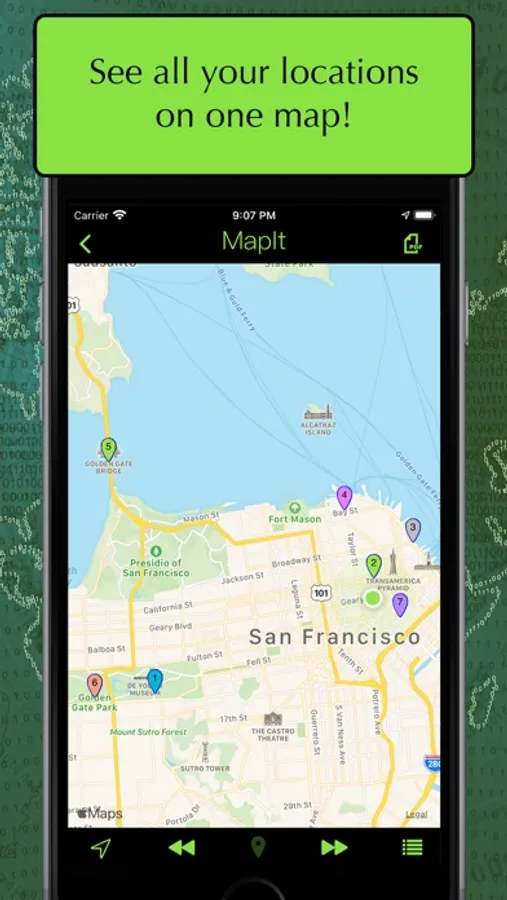
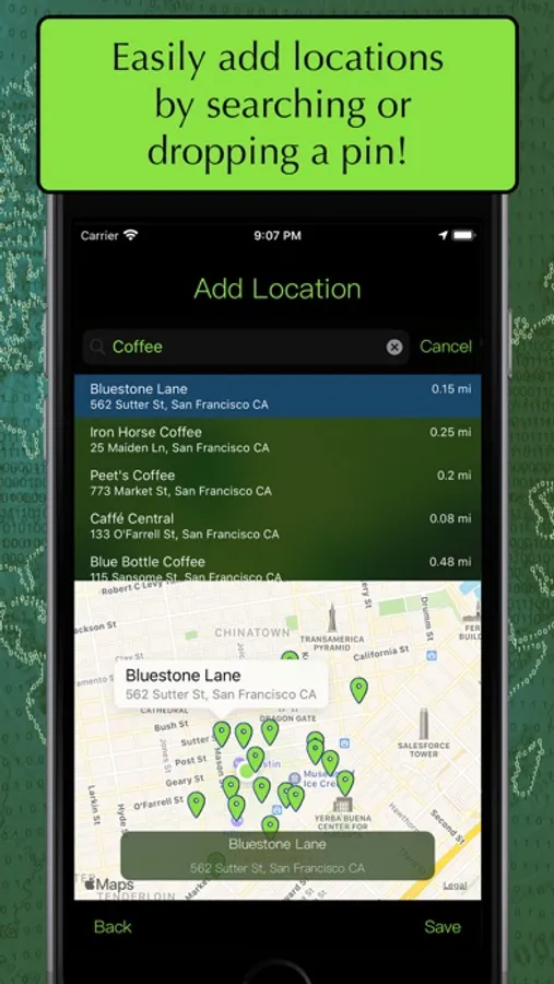
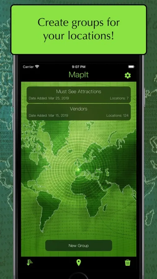
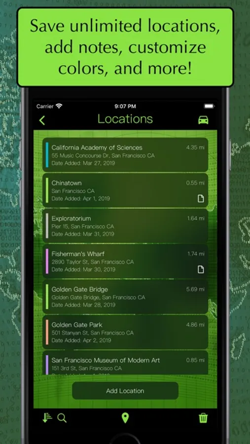
With this mapping app, you can add, organize, and visualize multiple locations on a single map, filter by distance or name, and customize map views. Includes location search, grouping, notes, color-coding, and export options.
AppRecs review analysis
AppRecs rating 3.7. Trustworthiness 79 out of 100. Review manipulation risk 21 out of 100. Based on a review sample analyzed.
★★★☆☆
3.7
AppRecs Rating
Ratings breakdown
5 star
65%
4 star
11%
3 star
6%
2 star
5%
1 star
13%
What to know
✓
Low review manipulation risk
21% review manipulation risk
✓
Credible reviews
79% trustworthiness score from analyzed reviews
⚠
Ad complaints
Many low ratings mention excessive ads
About MapIt - Map Multiple Locations
Do you like to visually see all your points of interest on one map?
Do you want to see where multiple locations are in relation to your location?
Do you want to plot multiple points and see which location is closer?
Want to map all your errands for the day?
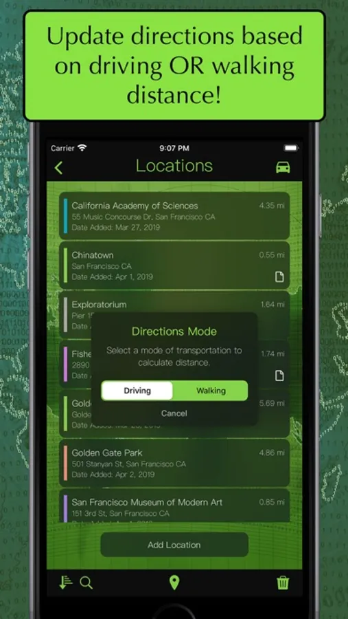
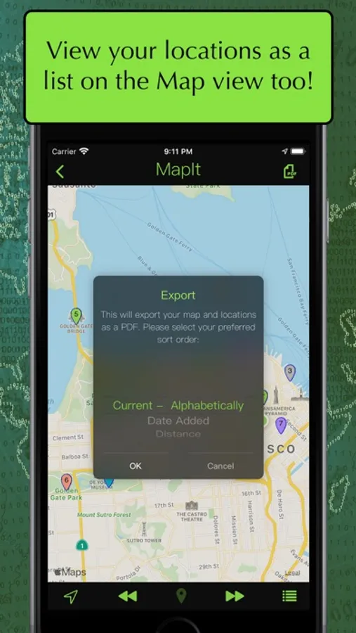
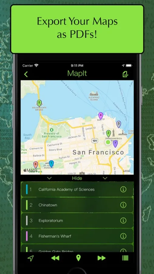
MapIt lets you map locations quickly and easily! You can view all your locations on a map or sort them by name, distance or date in a list. With a quick touch of a button, you can zoom in on an individual location or zoom out to see them all!
FEATURES:
- Add locations by searching or dropping a pin
- Save unlimited** locations
- Supports renaming locations and adding notes to each location
- Customize colors for each location
- Option to organize locations into groups**
- See distance for either driving OR walking distance
- Open navigations options in either Apple Maps or Google Maps (if supported).
- Copy locations to other groups
- Switch between standard, satellite, and hybrid map types
- Sort groups by name, date added, date modified
- Sort locations by name, date added, distance, and custom
- Search locations by name or address
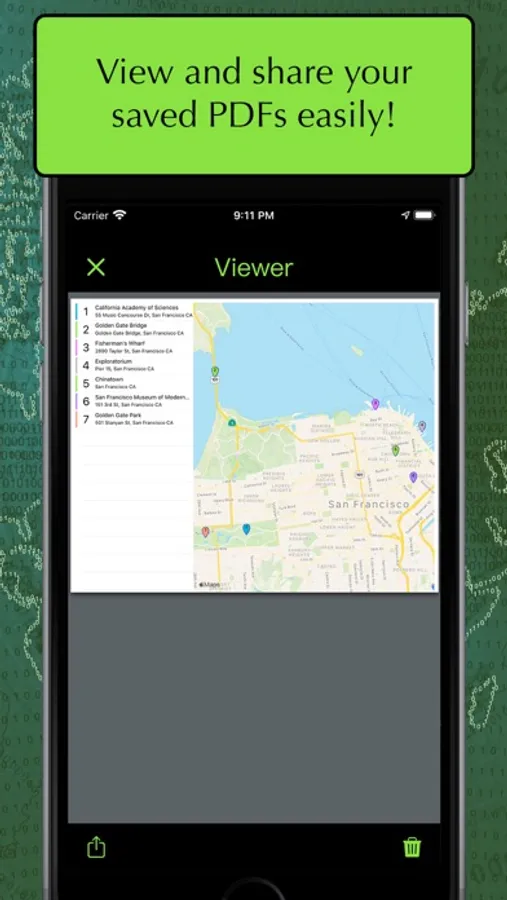
- Export your maps as a PDF
- Toggle between Imperial (miles) and Metric (kilometers) for distance
- Features an interactive tutorial on your first launch
**With a one-time In-App Purchase. The free version limits the number of group, locations and exports.
Subscription:
• Title: MapIt Tip Jar Month
• Length of subscription: 1 month
• Price of subscription: US$0.99 / Month
• Payment will be charged to iTunes Account at confirmation of purchase
• Account will be charged for renewal within 24-hours prior to the end of the current period, and identify the cost of the renewal
• Subscriptions may be managed by the user and auto-renewal may be turned off by going to the user's Account Settings after purchase
Terms of Use: https://www.apple.com/legal/internet-services/itunes/dev/stdeula/
Privacy Policy: https://skylaproductions.wordpress.com/my-apps/mapit-map-multiple-locations/mapit-privacy-policy/
