Flying the Garmin GTN650/750
Flight Training Apps, Inc.
2.2 ★
19 ratings
Free
AppRecs review analysis
AppRecs rating 2.1. Trustworthiness 81 out of 100. Review manipulation risk 29 out of 100. Based on a review sample analyzed.
★★☆☆☆
2.1
AppRecs Rating
Ratings breakdown
5 star
26%
4 star
0%
3 star
0%
2 star
11%
1 star
63%
What to know
✓
Low review manipulation risk
29% review manipulation risk
✓
Credible reviews
81% trustworthiness score from analyzed reviews
⚠
Mixed user feedback
Average 2.2★ rating suggests room for improvement
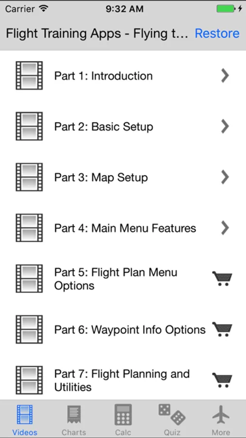
About Flying the Garmin GTN650/750
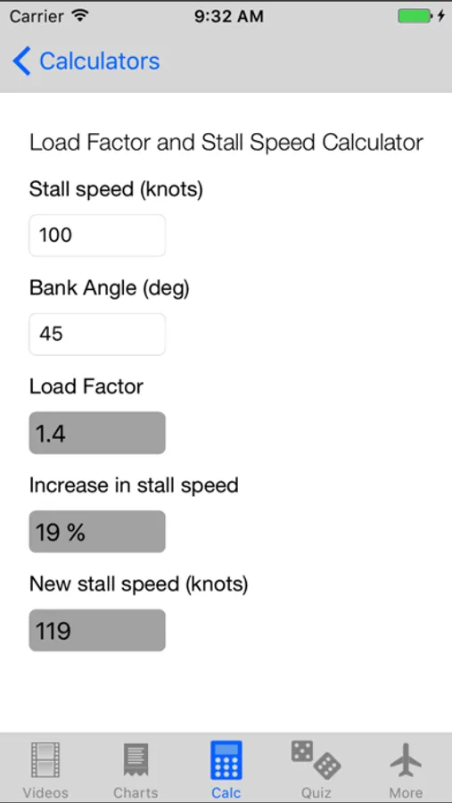
Additional features are:
- Included charts
- Three useful flight calculators
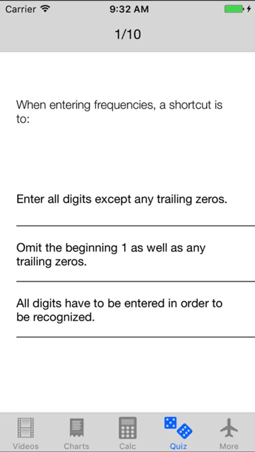
- A comprehensive quiz to test your knowledge.
The video sections include:
- Configuration and Set-Up for Maximum Usability
- Nav & Com use
- Creating and Editing Flight Plans
- Flying RNAV Departure Procedures
- En-route Functions
- Emergency Use of the GPS
- RNAV Arrival Procedures
- Differences between the GNS 430/530 and GTN 650/750
The App provides you easy to understand real life scenarios!
This app works offline. No internet connection required. Due to size restrictions (this app is 700MB in size), you have to be connected to a WiFi network to download this app. Please make sure you have enough space on your device.
Disclaimer: This is a product from Flight Training Apps, Inc. Garmin does not support, endorse or authorize this App.
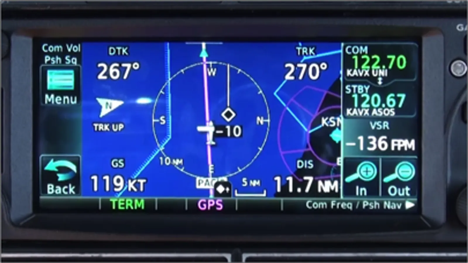
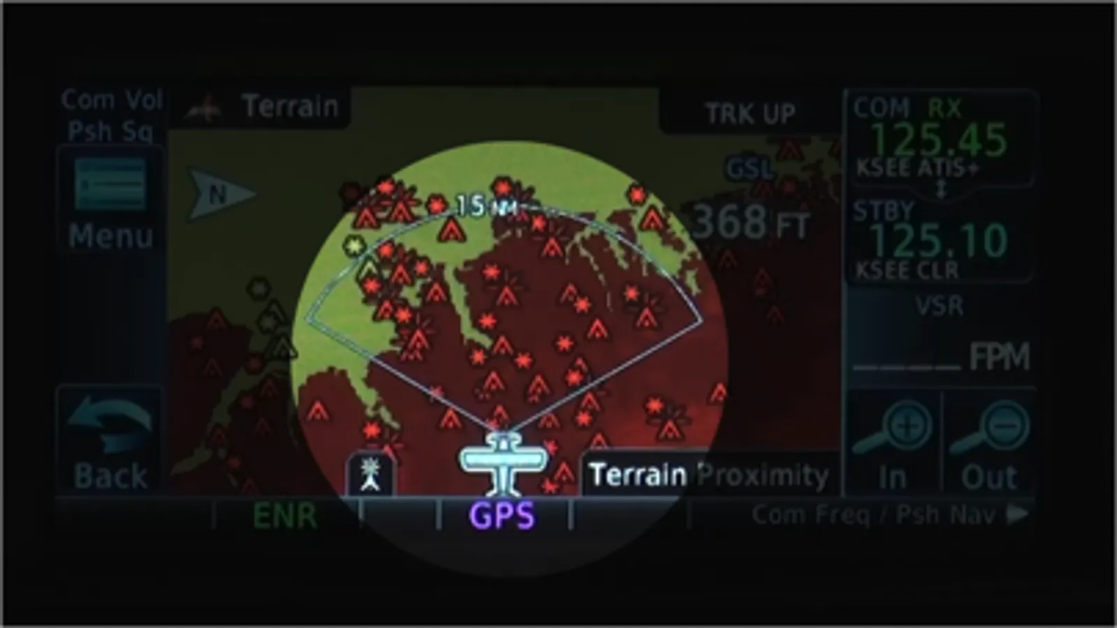
Flying the Garmin GTN650/750 Screenshots
Tap to Rate:
Reviews for Flying the Garmin GTN650/750
bashaloki
Useful But Obsolete Charts
This is a useful app, thanks to Garmin for providing it. However, the charts are obsolete, and many newer airways (Tango) are missing. This makes it difficult to actually simulate a trip. This is also true of the GTXNXI app.
Mike the Pilot 99
No sound
I have no sound and I don’t have a way to get in touch with the developer