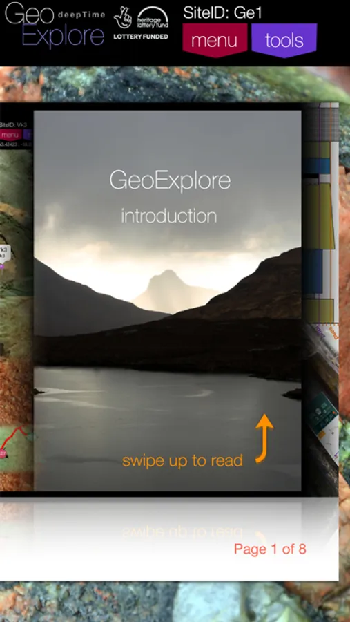
About GeoExplore
GeoExplore is primarily a geological data logging (recording) toolset.
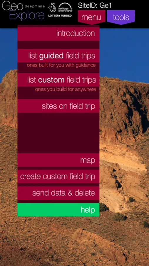
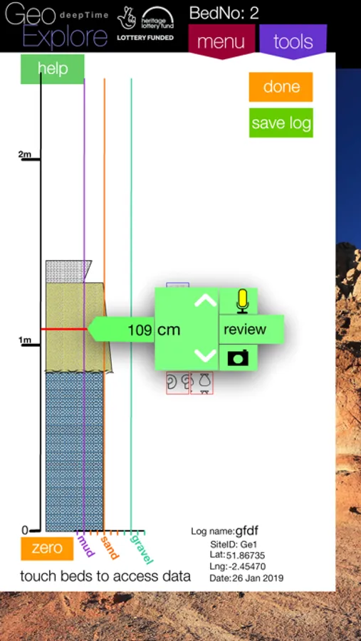
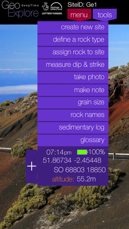
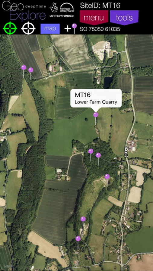
Use GeoExplore to gather data at any location(s) of your choice (a Custom Field Trip) or download into the app one of the Guided Field Trips, prepared by geology teachers and lecturers.. Guided Field Trips come with a map and suggested locations to explore, along with detailed information about those locations. These field trips often have a specific aim, e.g. a mapping exercise, or structural exercise. GeoExplore provides a toolkit consisting of compass/clinometer, graphic (sedimentary) logging tool, make audio notes, text notes and take photos all linked to a specific site, or to a bed in the logging tool. Other facilities include rock type information, grain size reference, glossary of terms (which may be customised to field trip topic). Means to assign rock types and link them to observation sites in a mapping exercise.
All recorded data is held within GeoExplore, even when switched off, or running a different field trip. Data may be shared by email contacts, based on selected site, or sedimentary log, specific bed or entire field trip.
Although the GeoExplore is primarily designed for recording geological information, it would support anyone wishing to record data by location in fields such as archaeology, ecology, forestry, park management, soil conservation, highway/footpath maintenance...
GeoExplore is path of the Voyages in DeepTime project delivered by the Herefordshire & Worcestershire Earth Heritage Trust, with support provided by the Heritage Lottery Fund, the Bransford Trust, Tomlinson-Brown Trust and numerous other organisations and individuals..
