Use this mapping app to explore satellite, 3D, and contour maps of the Earth. Includes live location tracking, map layers, and real-time coordinates.
AppRecs review analysis
AppRecs rating 2.8. Trustworthiness 66 out of 100. Review manipulation risk 26 out of 100. Based on a review sample analyzed.
★★☆☆☆
2.8
AppRecs Rating
Ratings breakdown
5 star
36%
4 star
6%
3 star
5%
2 star
7%
1 star
46%
What to know
✓
Low review manipulation risk
26% review manipulation risk
⚠
Mixed user feedback
Average 2.8★ rating suggests room for improvement
⚠
High negative review ratio
53% of sampled ratings are 1–2 stars
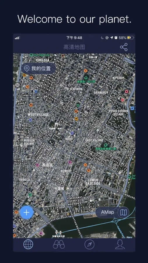
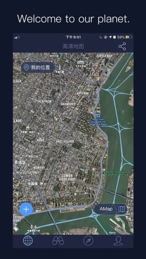
About Satellite Map - Live Earth
HD satellite maps provide the latest and most complete satellite maps, which is your best companion to explore the unknown world, and enjoy the global scenery without leaving home.
In addition to satellite maps, there are 3D maps (showing 3D models of buildings), contour maps (showing coordinates in real time, longitude and latitude), and flat maps (showing global street information).
Disclaimer: Apps will continue to use the location feature in the background, which will reduce battery life.
Satellite Map - Live Earth Screenshots

Tap to Rate:
Reviews for Satellite Map - Live Earth
Mbehsoodi
Satellite
FT
Olliejohn1
Real life
Satellite map - live earth