About ANRA CTR
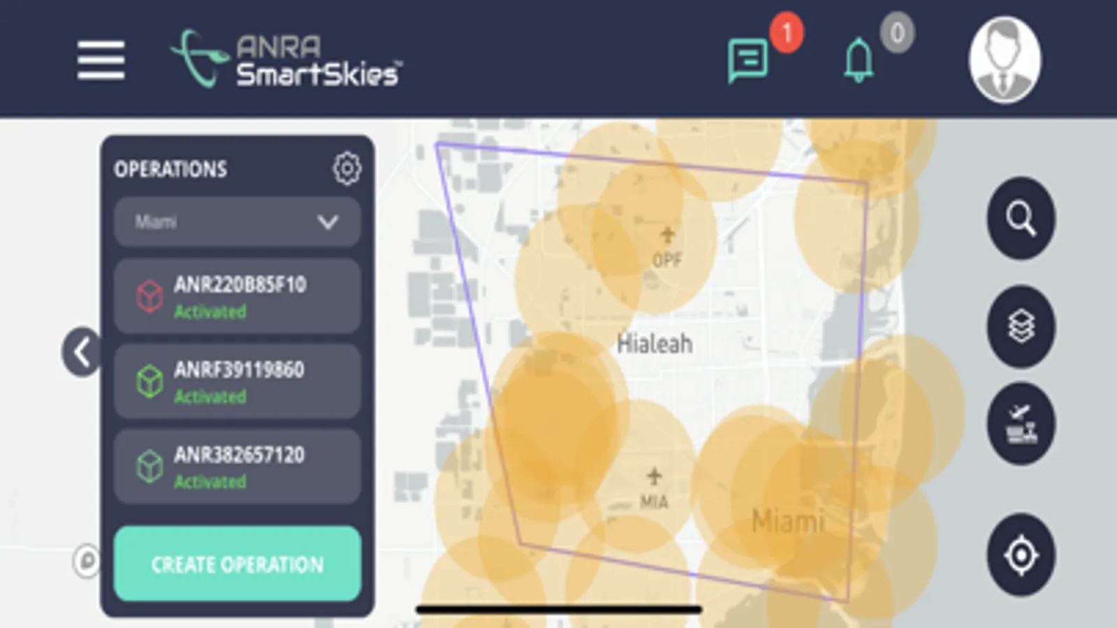
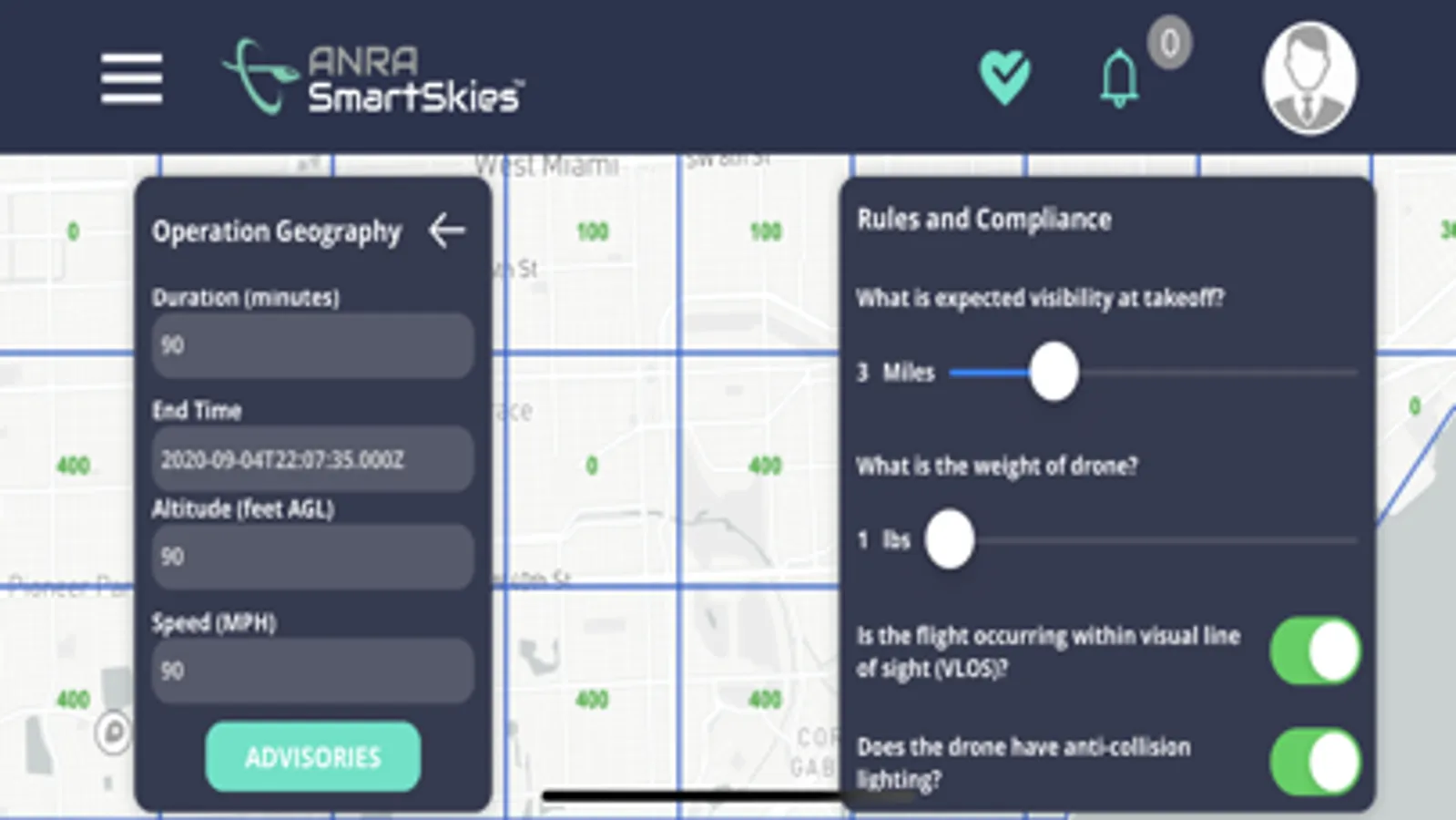
ANRA CTR facilitates planning your operations through an easy-to-use interface. This planning is informed through a rich, integrated data set that includes aeronautical data sources, custom dynamic airspace zones, weather, and terrain. As an FAA-approved LAANC UAS Service Provider, ANRA CTR allows drone pilots to obtain approval for drone operations within controlled airspace through real-time, automated processing based on criteria set by the FAA.
Once airborne, ANRA CTR supports drone tracking, auditing, non-conformance alerts, and geofencing – all while adhering to privacy limitations within a secure system.
Let ANRA CTR help you operate as a safer and more efficient remote pilot.
Feature Overview:
Awareness of where drones can and cannot fly
Automatic processing of airspace authorisations in controlled airspace
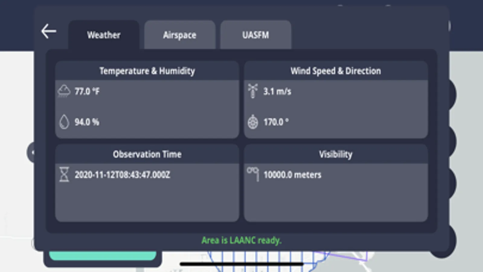
Integration of aeronautical data sources (e.g., Airspace and UAS Facility Map Layers) and supplemental data (e.g., Weather, Terrain)
Drone conformance monitoring and alerting


