About Overlay Precision AR
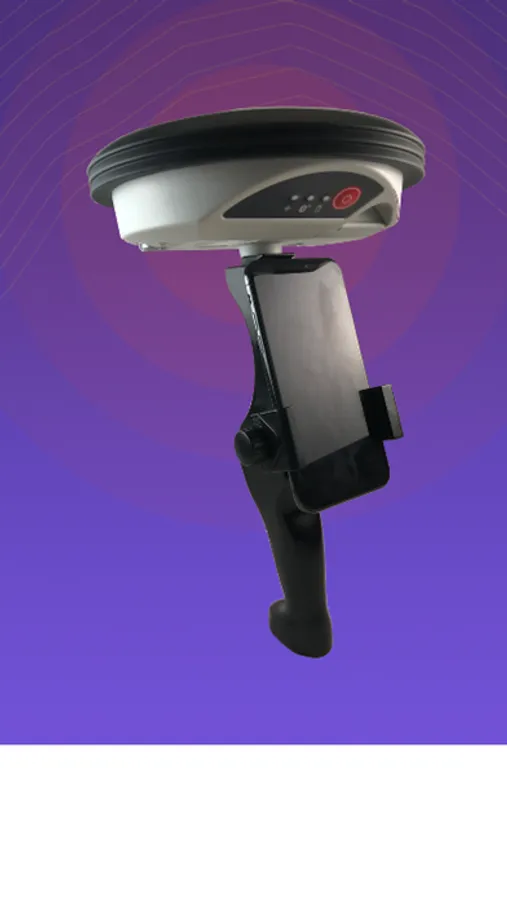
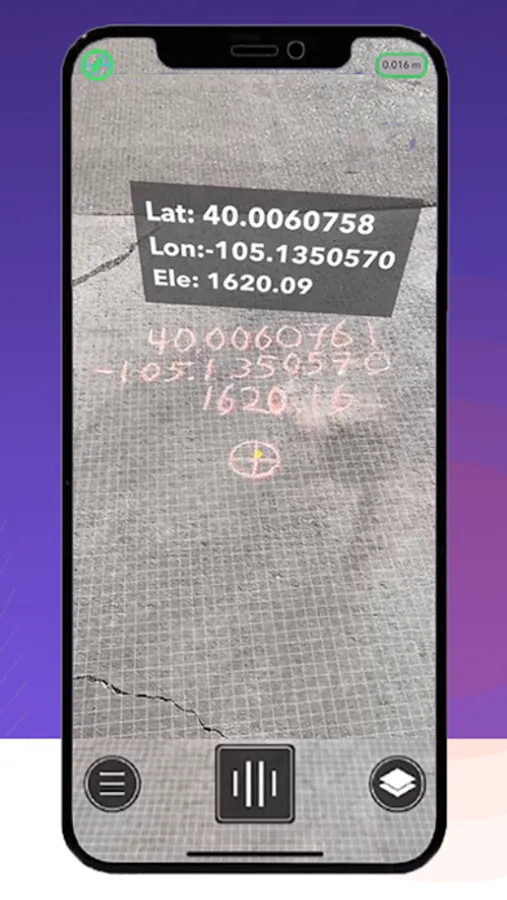
Overlay Precision AR makes augmented reality work outdoors. Your scene stays so stable that you can take measurements, capture lat/long points, collect & correct GIS data, create site diagrams, or visualize BIM models. Built from the ground up to be intuitive and powerful with a modern, mobile interface.
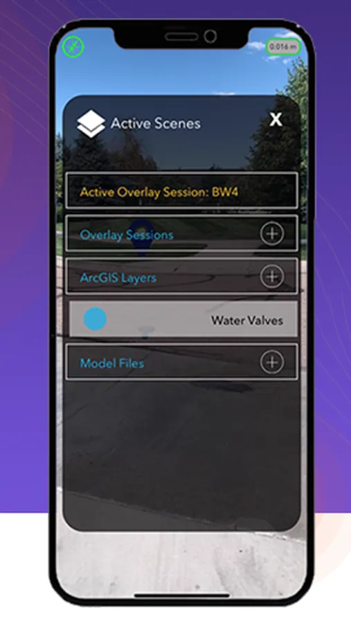
Full integration with Esri ArcGIS included at no additional charge with an active subscription to both products.
Full integration with Esri ArcGIS included at no additional charge with an active subscription to both products.
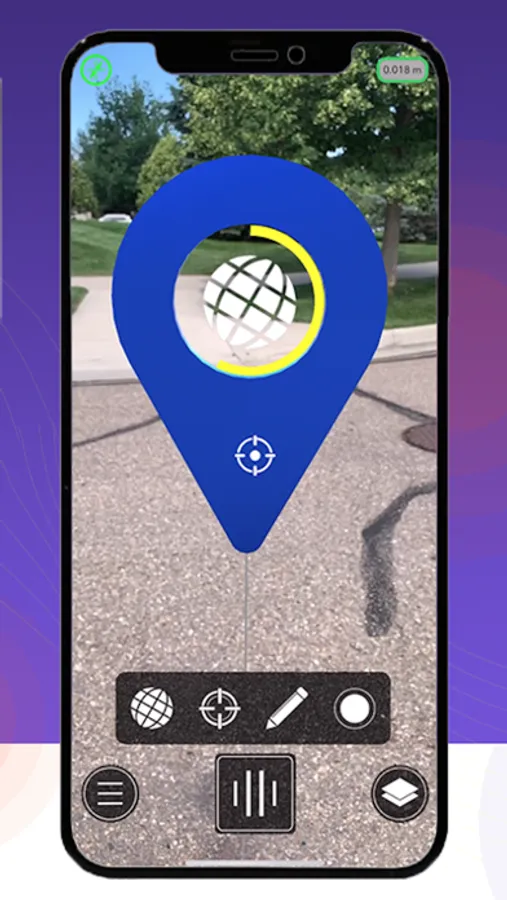
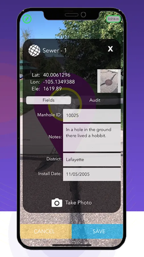
Overlay Precision AR Screenshots
Tap to Rate: