元地球海拔-海拔测量仪,登山海拔高度表
Beidou Hanglu Technology Co.,Ltd.
4.8 ★
1K ratings
Free
In this outdoor mapping app, users can view real-time location and explore high-definition panoramic maps offline. Includes offline altitude display, AR street view mode, and multi-industry map integration.
AppRecs review analysis
AppRecs rating 4.5. Trustworthiness 64 out of 100. Review manipulation risk 43 out of 100. Based on a review sample analyzed.
★★★★☆
4.5
AppRecs Rating
Ratings breakdown
5 star
87%
4 star
7%
3 star
2%
2 star
1%
1 star
2%
What to know
⚠
Questionable review patterns
43% review manipulation risk - some review patterns appear unusual
⚠
Rating authenticity concerns
High rating concentration (87% 5-star) in sampled ratings
About 元地球海拔-海拔测量仪,登山海拔高度表
川藏线318领队必备【元地球海拔】不但是一款简单实用的gps工具箱软件,而且是一款无网状态下也可以使用的测量仪。
主要功能:
1.测海拔:通过手机GPS工具或传感器测量位置、海拔、经纬度(无网也能测)更有气压,含氧量,气压值,风向等天气数据。
2.高海拔专用水印相机
3.地震预警:各地地震情况实时了解。
4.单位切换:实时海拔高度单位,经纬度坐标的单位,气压单位。
主要功能:
1.测海拔:通过手机GPS工具或传感器测量位置、海拔、经纬度(无网也能测)更有气压,含氧量,气压值,风向等天气数据。
2.高海拔专用水印相机
3.地震预警:各地地震情况实时了解。
4.单位切换:实时海拔高度单位,经纬度坐标的单位,气压单位。
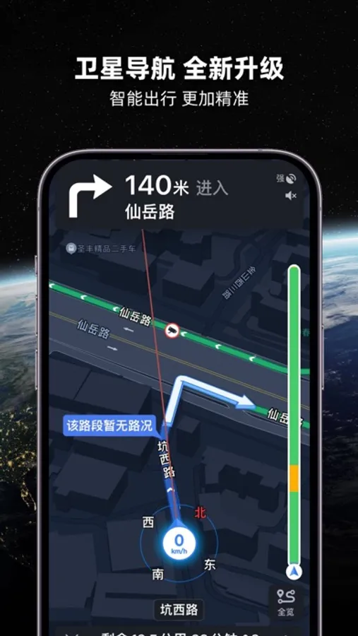
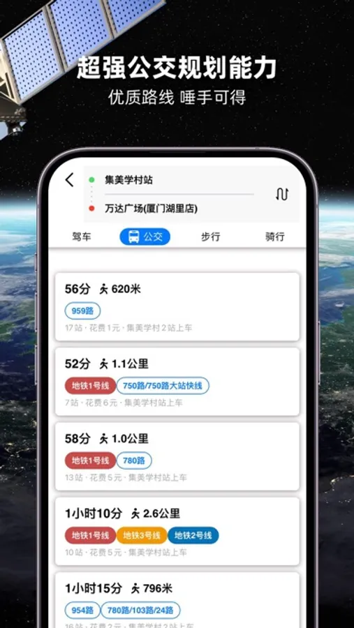
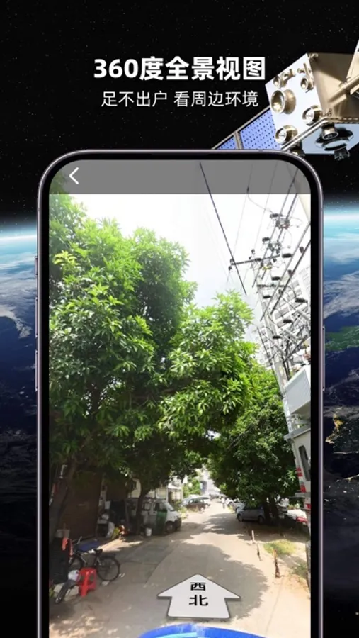
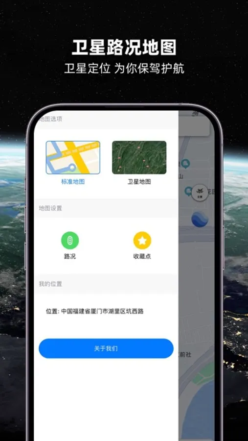
元地球海拔-海拔测量仪,登山海拔高度表 Screenshots

Tap to Rate:
Reviews for 元地球海拔-海拔测量仪,登山海拔高度表
早安玩安
好
好
了来,
还不如用高德百度
没用