About ACROSS Lexington
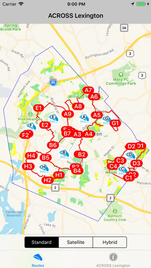
ACROSS Lexington stands for Accessing Conservation land, Recreation areas, Open space, Schools and Streets and is a 47-mile network of pedestrian and bicycle routes that link most of the town of Lexington, MA.
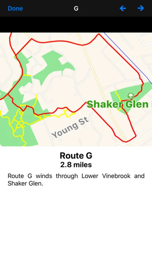
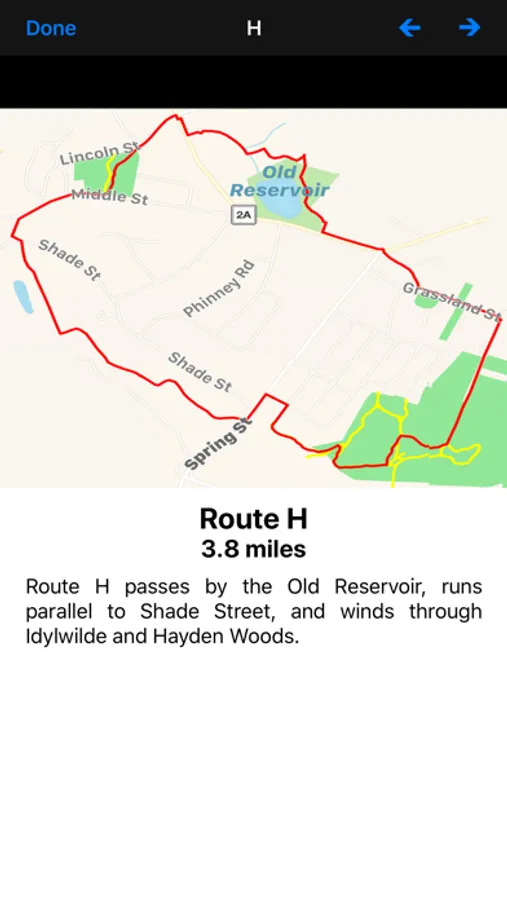
This app displays a map of the ACROSS Lexington Routes A, B, C, D, E, F, G, H, J, K, L, M, N, and P along with photos and information on points of interest along the way.
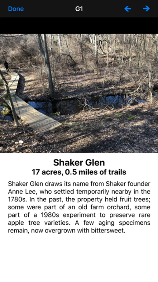
In addition, photos and information on 40 additional historic sites in Lexington are also displayed.
A map of all the routes is dynamically updated showing your current position.
This app displays a map of the ACROSS Lexington Routes A, B, C, D, E, F, G, H, J, K, L, M, N, and P along with photos and information on points of interest along the way.
In addition, photos and information on 40 additional historic sites in Lexington are also displayed.
A map of all the routes is dynamically updated showing your current position.
ACROSS Lexington Screenshots

Tap to Rate: