About Flying World
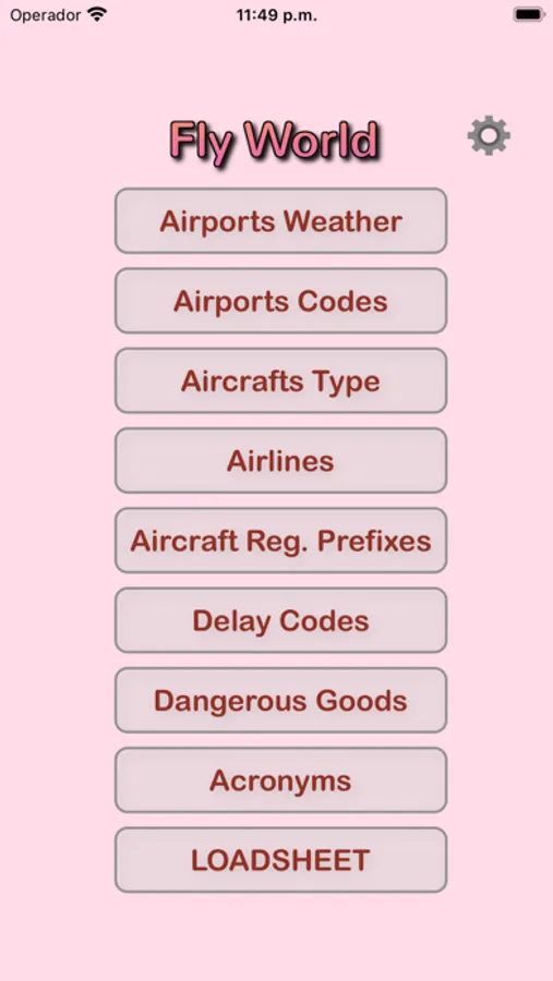
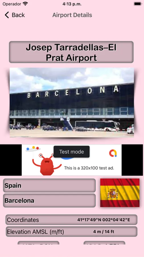
Online database of Airports, Aircraft Types Information, IATA Delay codes, Dangerous Goods, Airport Weather, Prefix Registration, Acronyms all of aeronautic world and more. Airports photos, registration country mark, elevation info, runway direction and runway length (meters/feets). Required internet connection.
FEATURES:
- Universal app: Optimised for both the iPad and the iPhone/iPod touch.
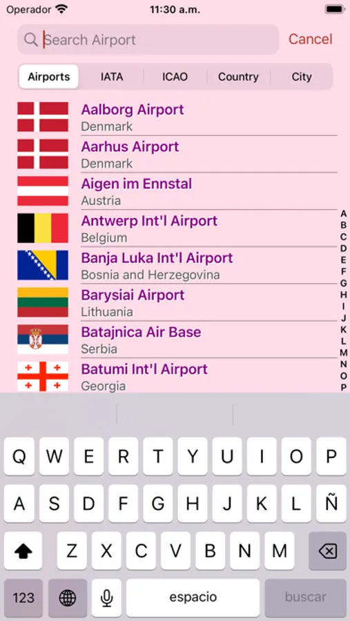
- Airport database containing over 5000 airports world wide.
- Runway data (dimensions and Elevation AMSL) for most major airports.
- Airport data includes coordinates, airport weather (METAR, TAFOR), elevation, length of runaway and directions.
- Quick search system lets you find airports by country, name, ICAO, IATA or local identifier.
- Coordinates of airport places
- Airlines simple information: IATA code,ICAO code y Callsign
- Aircraft data information
- Aircraft registration prefixed
- Delay IATA codes
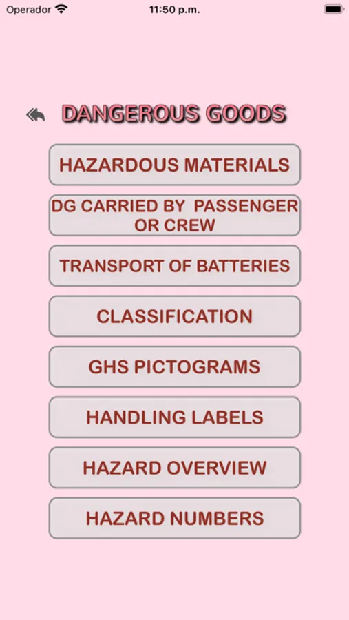
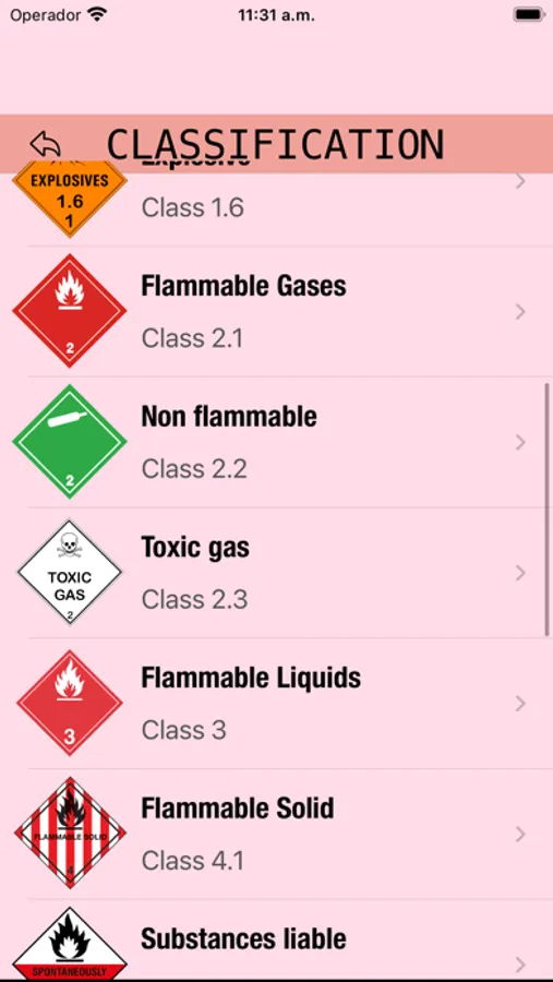
- Classification of Dangerous goods
- Hazardous Materials Segregation Table
- Hazardous Materials
- Dangerous Goods Carried by Passenger or Crew
- Transport of battery
- GHS Pictograms and Labels
- Hazard Overview
- Hazard Numbers
- METAR and TAF reports (requires internet connection).
- View NOTAMs for most major airports (requires internet connection).
- Email and print METAR, TAF and NOTAMs.
-Abbreviation/Acronyms all of aeronautic world
PLEASE NOTE:
This application is NOT FOR OPERATIONAL USE. Information in the airport database may be outdated and inaccurate. Please report all database errors so they can be corrected as soon as possible.
Please note that weather and NOTAM data are provided by third party sources whose accuracy and availability cannot be guaranteed. Do not rely on this data for flight planning purposes. Always crosscheck with official sources.
Thank you all for your support and suggestions!
Oficial website https://airworker.neyktosoft.com
