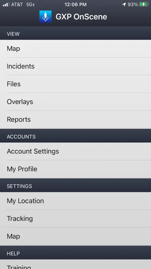
GXP OnScene®
BAE Systems, Geospatial eXploitation Products (GXP®)
4.3 ★
11 ratings
Free
In this crisis management app, users coordinate personnel and monitor geospatial data in real time. Includes map overlays, GPS tracking, and communication tools.
AppRecs review analysis
AppRecs rating 4.3. Trustworthiness 0 out of 100. Review manipulation risk 0 out of 100. Based on a review sample analyzed.
★★★★☆
4.3
AppRecs Rating
Ratings breakdown
5 star
82%
4 star
0%
3 star
0%
2 star
0%
1 star
18%
What to know
✓
High user satisfaction
82% of sampled ratings are 4+ stars (4.3★ average)
About GXP OnScene®
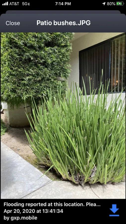
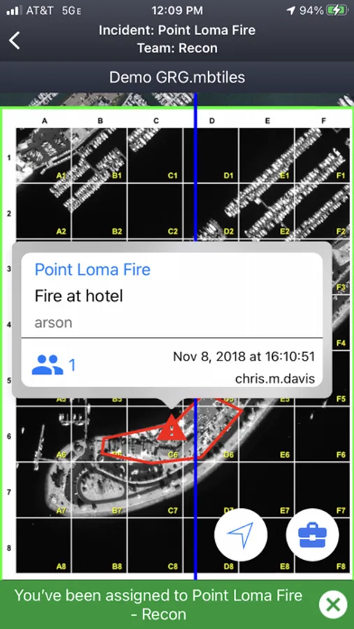
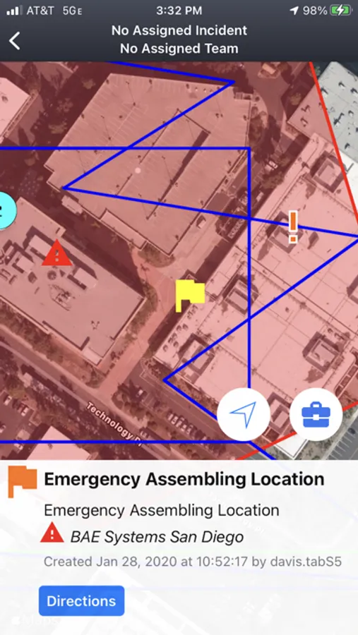
Crisis/event preparation and planning; communication between ground personal and aerial support; locate personnel as situations evolve, and provide direction to new personnel arriving on scene.
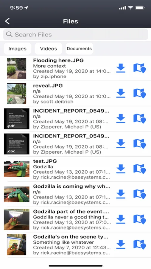
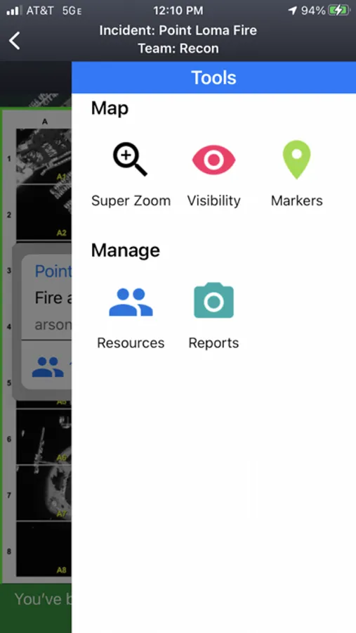
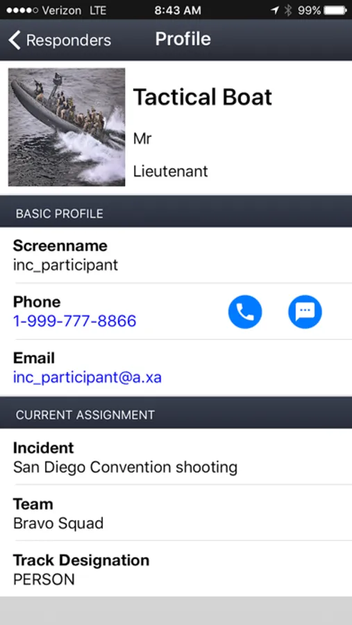
BAE Systems’ GXP OnScene is a companion App to your site's GXP OpsView or GXP Xplorer server. It provides tactical, real-time personnel coordination and geospatial imagery capabilities to responders as they arrive on the scene of a crisis or event. Fusing mobile app, desktop, and server technology, GXP OnScene provides a graphical grid overlay on top of up-to-date, personalized maps to field users via their smartphone or tablet. Teammate locations display as named markers on the map using the device GPS. Functionality provides those in command of the situation with a simple tool to coordinate and direct the responders in real time, eliminating ambiguity from updates and instructions.
*** Continued use of GPS running in the background can dramatically decrease battery life. ***
GXP OnScene® Screenshots
Tap to Rate: