AppRecs review analysis
AppRecs rating 3.5. Trustworthiness 65 out of 100. Review manipulation risk 20 out of 100. Based on a review sample analyzed.
★★★☆☆
3.5
AppRecs Rating
Ratings breakdown
5 star
75%
4 star
0%
3 star
0%
2 star
0%
1 star
25%
What to know
✓
Low review manipulation risk
20% review manipulation risk
✓
High user satisfaction
75% of sampled ratings are 4+ stars (4.0★ average)
About Soil Explorer
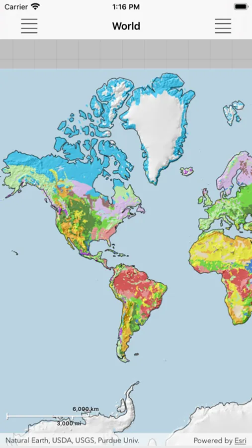
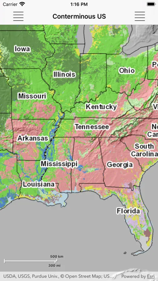
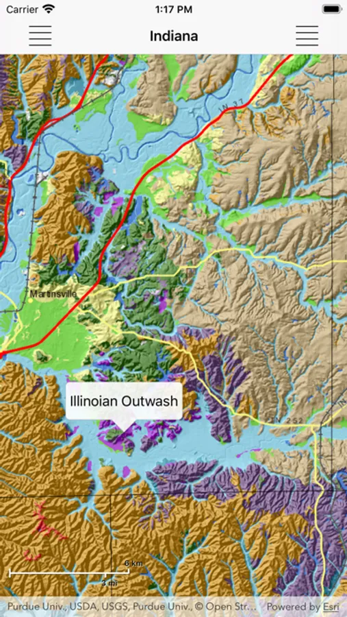
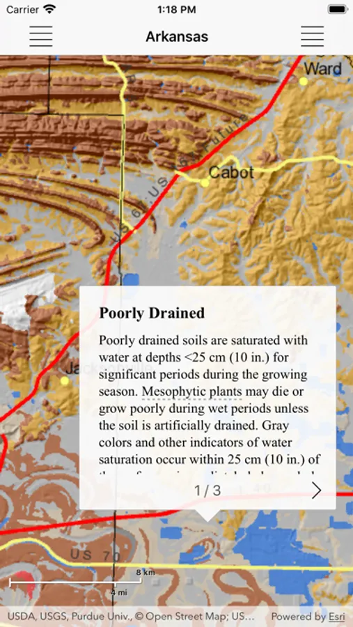
Explore detailed maps of soil properties and landscapes for various U.S. states, as well as small-scale maps of soil distributions for the world. Examine the details for a specific area, but also see the overview for a large area. Learn how features shown on the maps correspond to what you observe in the field.
Soil Explorer utilizes detailed soil survey data from the USDA Natural Resources Conservation Service and data and maps from the U. S. Geological Survey and other sources to produce informative, highly engaging maps. These maps are designed to show the complex interrelationships between soil properties and the landscapes in which soils occur.
Soil Explorer utilizes detailed soil survey data from the USDA Natural Resources Conservation Service and data and maps from the U. S. Geological Survey and other sources to produce informative, highly engaging maps. These maps are designed to show the complex interrelationships between soil properties and the landscapes in which soils occur.


