About Ground Level
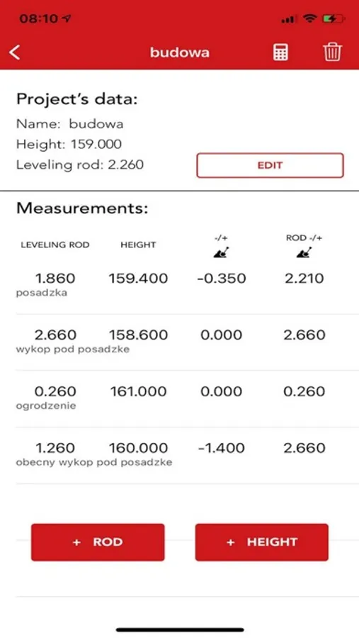
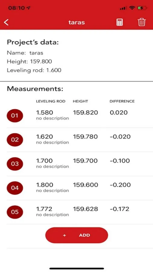
One place where you can calculate differences in ground level. Create project where you can save project data. Every measurement point will be showed in one cell and application will calculate them to values from project’s measurement scale and show them in other cell.Make only one time calibrate with your surveying level and enjoy relax automatic calculations without switching between applications.
- Make contract name
- Save projected points inside app
- Look differences between height which you want
- Yours field points will be converted also to points from project
- Project data points will be saved if you want inside app to do not write them every time because they are not changing
- Make descriptions to look which point is for what
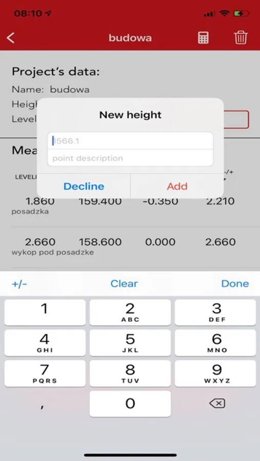
- Easy calibration. Add one height point and put value from project. Next ones will be automatically calculated.
- Enjoy easier and faster work


