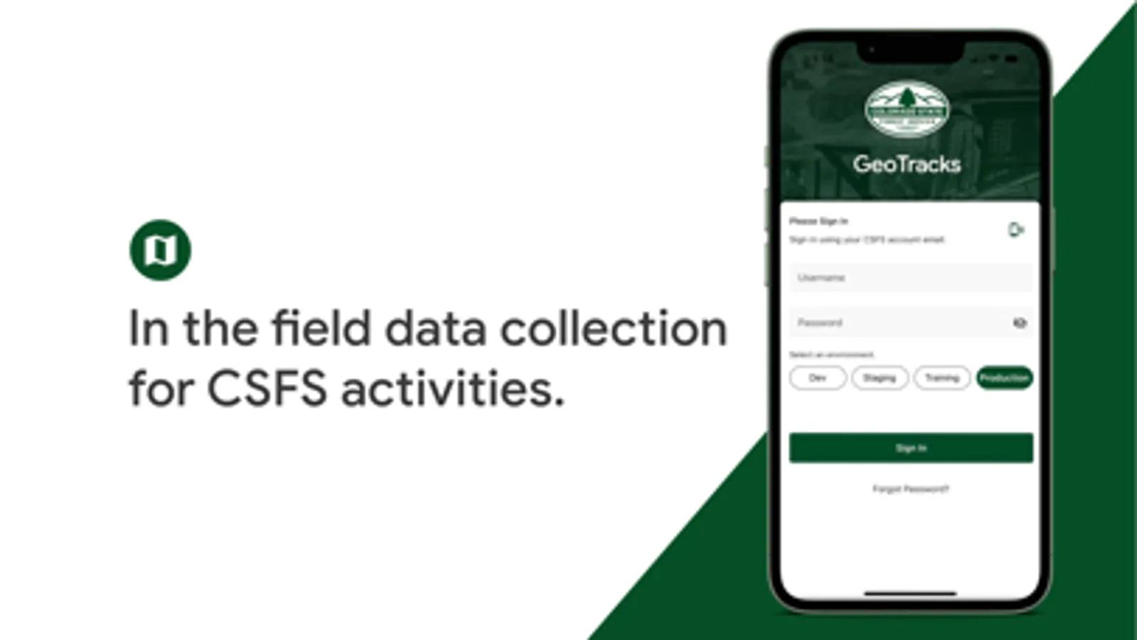
About CSFS GeoTracks
"GeoTracks™ is a system that provides capabilities for viewing, editing, and managing data relevant to natural resources and forest management. The software is designed to assist users with tracking land management activities and allows users to share data through Web and Mobile platforms.
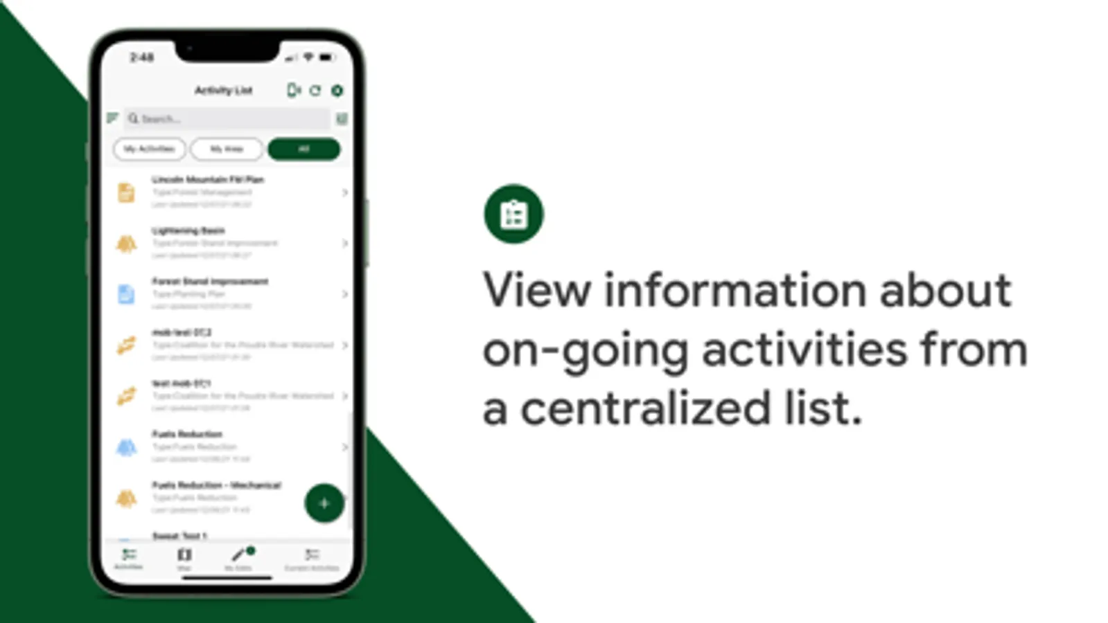
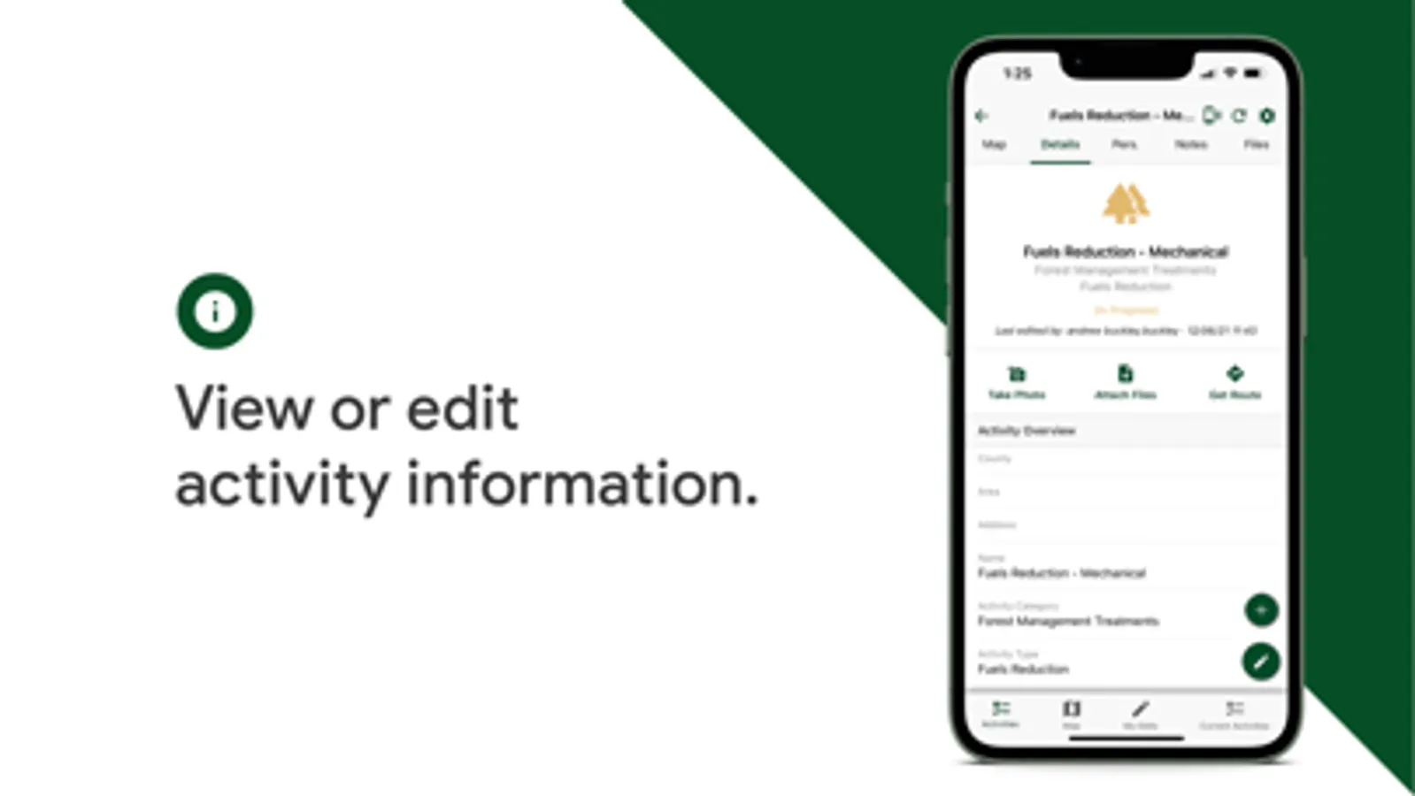
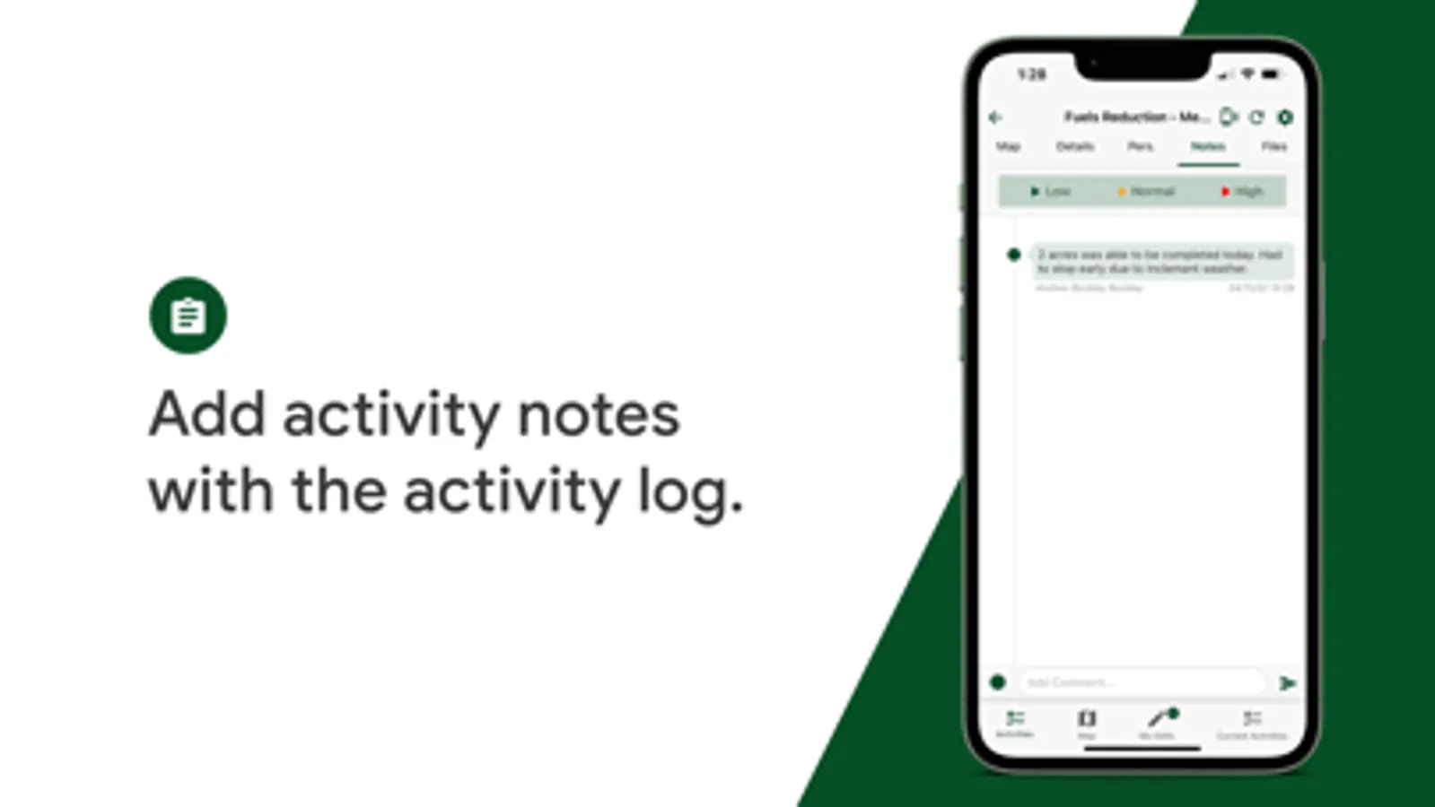
GeoTracks™ Mobile App is primarily designed for field personnel to view, edit, or collect data related to natural resources and forest management activities.
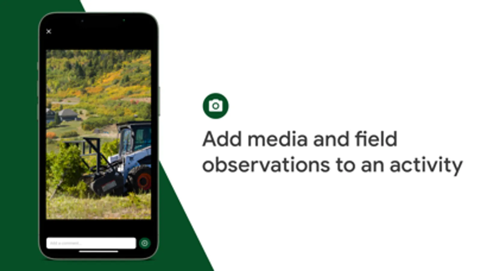
Key GeoTracks™ Mobile App features include viewing, creating, and/or editing activity information; routing to an activity; collecting photos and media; viewing files available from device storage; mapping from GPS or digitizing on screen activity points, lines, and/or polygons; mapping from GPS in background mode; viewing, creating, and/or editing activity notes.
The GeoTracks™ system including the Mobile App can be configured to meet organizational needs.
Note: This app requires you to have a GeoTracks™ account with the host agency to login and view/edit information."
GeoTracks™ Mobile App is primarily designed for field personnel to view, edit, or collect data related to natural resources and forest management activities.
Key GeoTracks™ Mobile App features include viewing, creating, and/or editing activity information; routing to an activity; collecting photos and media; viewing files available from device storage; mapping from GPS or digitizing on screen activity points, lines, and/or polygons; mapping from GPS in background mode; viewing, creating, and/or editing activity notes.
The GeoTracks™ system including the Mobile App can be configured to meet organizational needs.
Note: This app requires you to have a GeoTracks™ account with the host agency to login and view/edit information."
CSFS GeoTracks Screenshots

Tap to Rate: