WiSE Wildfire Safety Evaluator
Technosylva Inc.
5.0 ★
store rating
Free
About WiSE Wildfire Safety Evaluator
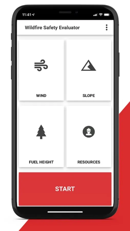
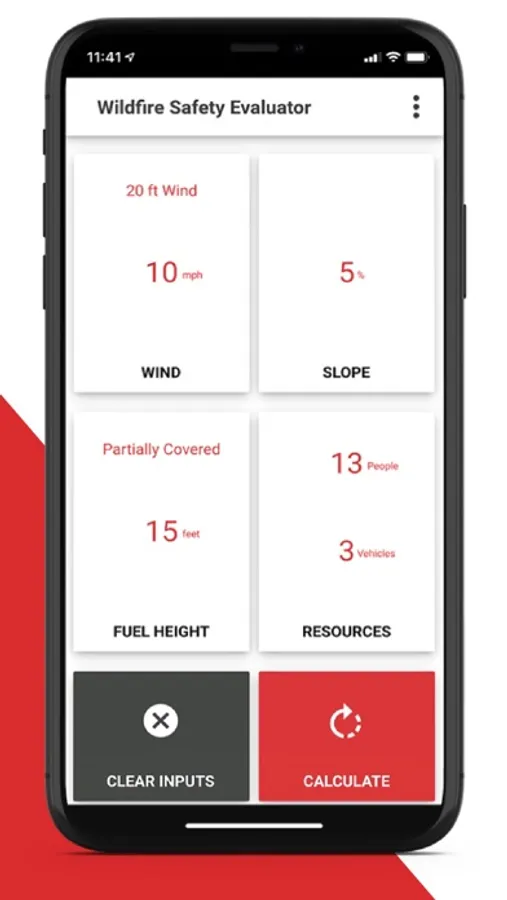
WiSE is a tool designed to provide safe separation distance calculations to wildland firefighters. This new tool gives firefighters the crucial ability to identify suitable safety zones while in the field. With inputs based on direct observations in the field, wildland firefighters now have the ability to quickly calculate the distance needed to provide themselves and others, safety from burn injury. wildland firefighters can enter on-scene observed data via parameters such as: Wind, Slope, Fuel Height and Resource Information.
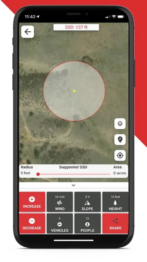
Using these inputs, the individual can quickly calculate their Safe Separation Distance (SSD) and view the results on a map. As conditions change, wildland firefighters can quickly update observed conditions to view updated results, all without having to leave the mapping screen. WiSE is unique in that it does not require an active data connection to calculate these safety zones.
Using these inputs, the individual can quickly calculate their Safe Separation Distance (SSD) and view the results on a map. As conditions change, wildland firefighters can quickly update observed conditions to view updated results, all without having to leave the mapping screen. WiSE is unique in that it does not require an active data connection to calculate these safety zones.


