About IceAgePonds
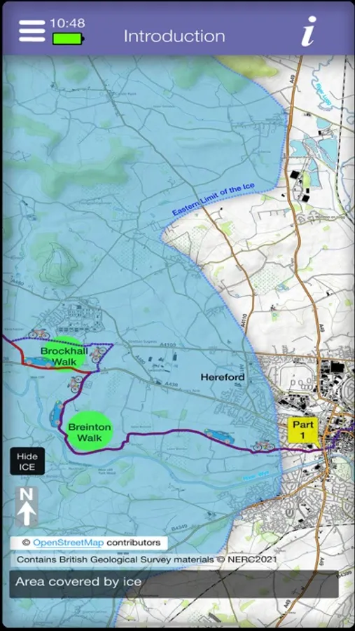
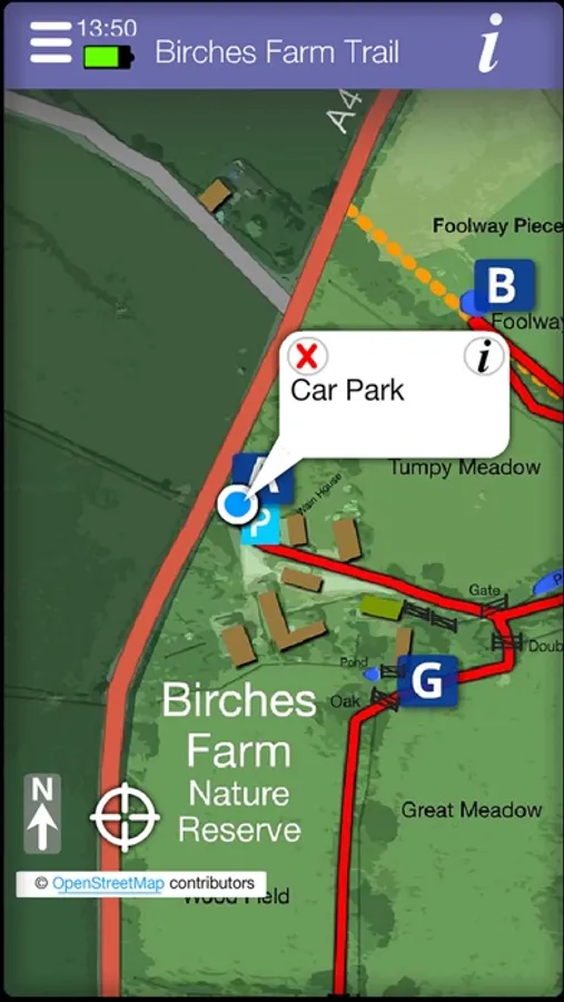
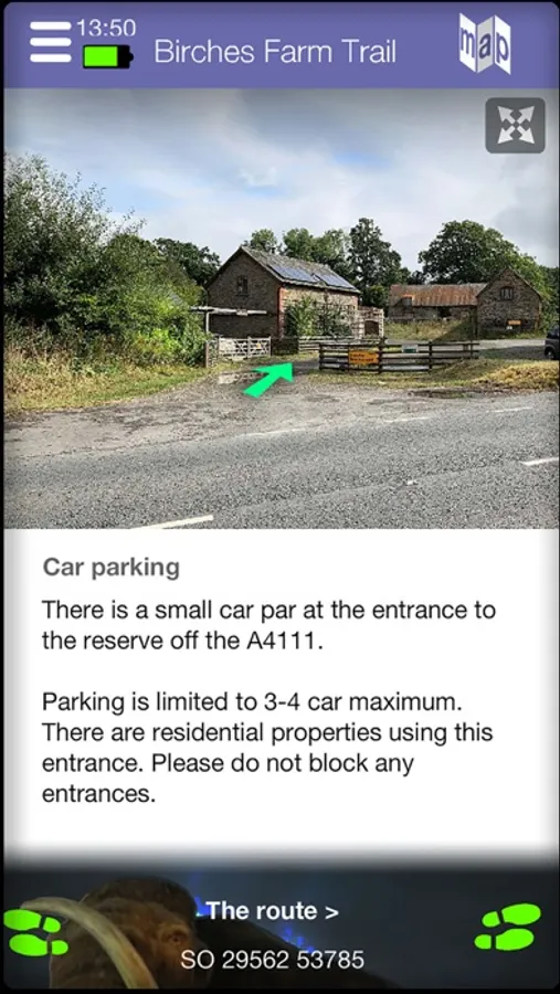
IceAgePonds explores landscape and ponds of western Herefordshire, via a series of tours by car or cycle and walking trails. Each tour and trail is accompanied by a detailed map, with pictures and explanation of points of interest along the way.
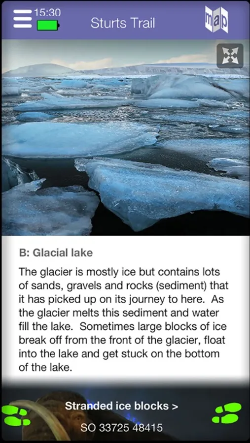
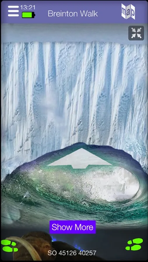
The ponds formed at the close of the last Ice Age in Herefordshire between 20,000 and 12,000 years ago. Today these ponds form special sites rich in aquatic life. The app explains how the landscape is the product of former glacial lakes, debris deposited by glaciers, valleys cut by meltwater tunnelling beneath the ice and the changed paths of rivers. Reconstructions of how locations may have looked at the time of the last Ice Age are provided on the walks and tours.
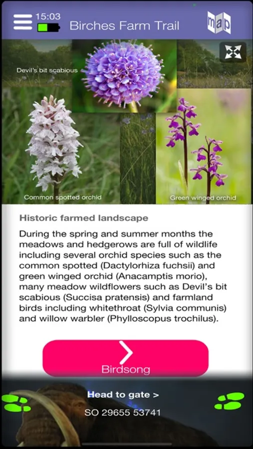
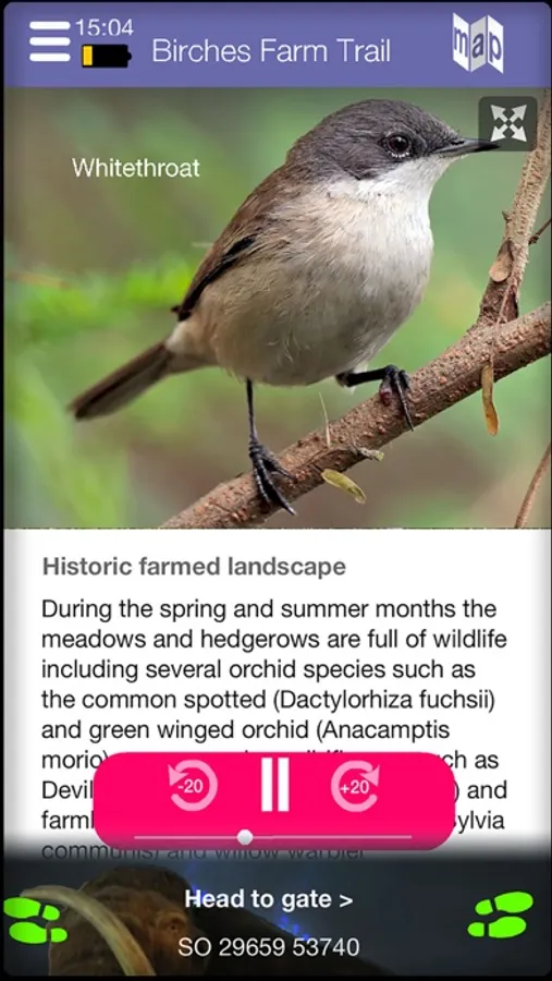
The walks include many pictures of the plants and creatures to be found in and around the ponds, along with the sounds of birds you may encounter.
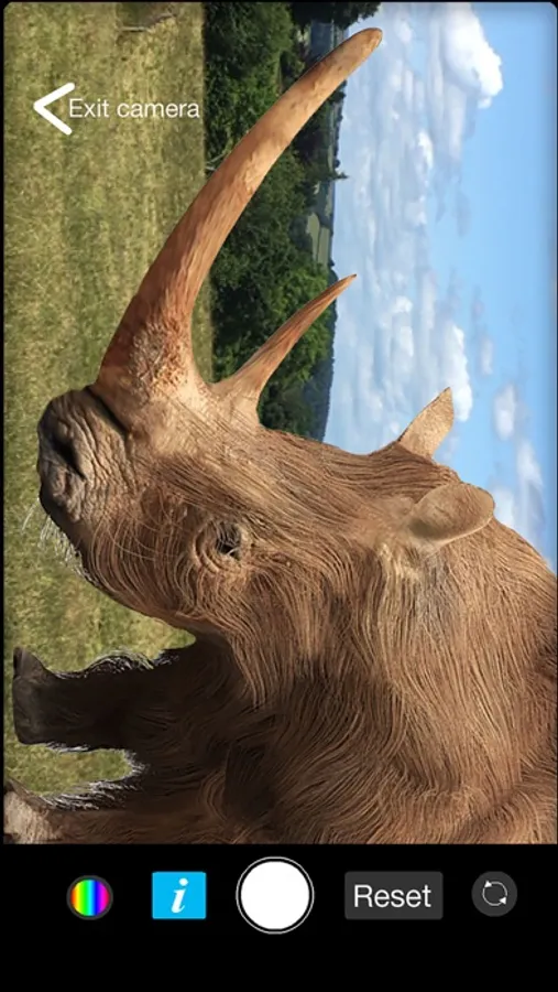
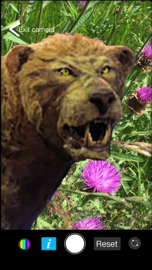
On the walks you will discover locations where you can use the app to take selfies, with a number of now extinct creatures, like woolly mammoths, from the time of the ice.
The app includes a glossary of words relating to glacial features, along with detailed explanation of how the ponds formed.
The app has been produced as part of the Conserving Herefordshire's Ice Age Ponds Project, generously funded by Lottery players via the National Lottery Heritage Fund.
