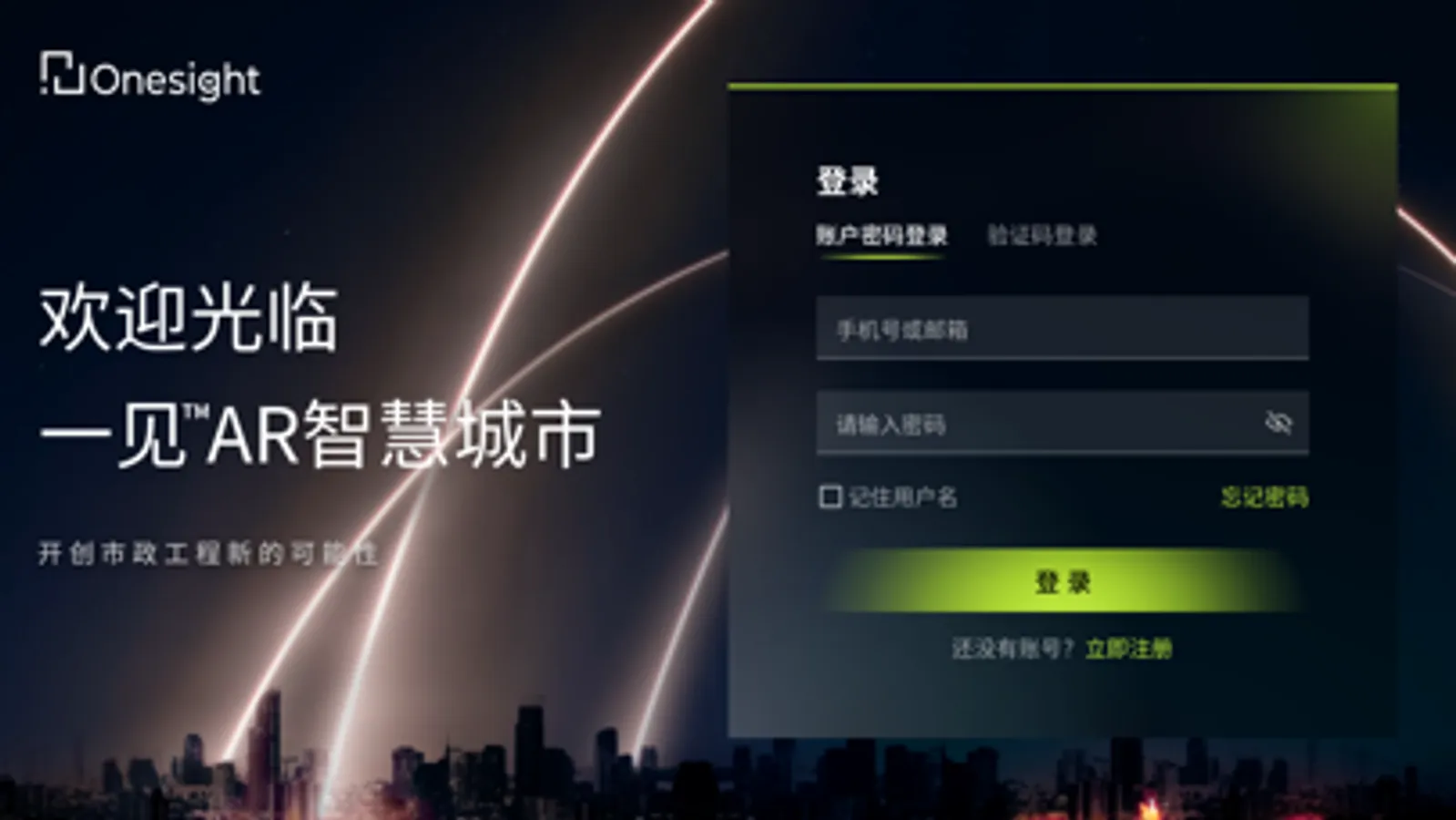
About Onesight Smart City Platform
Open up new possibilities for municipal engineering!
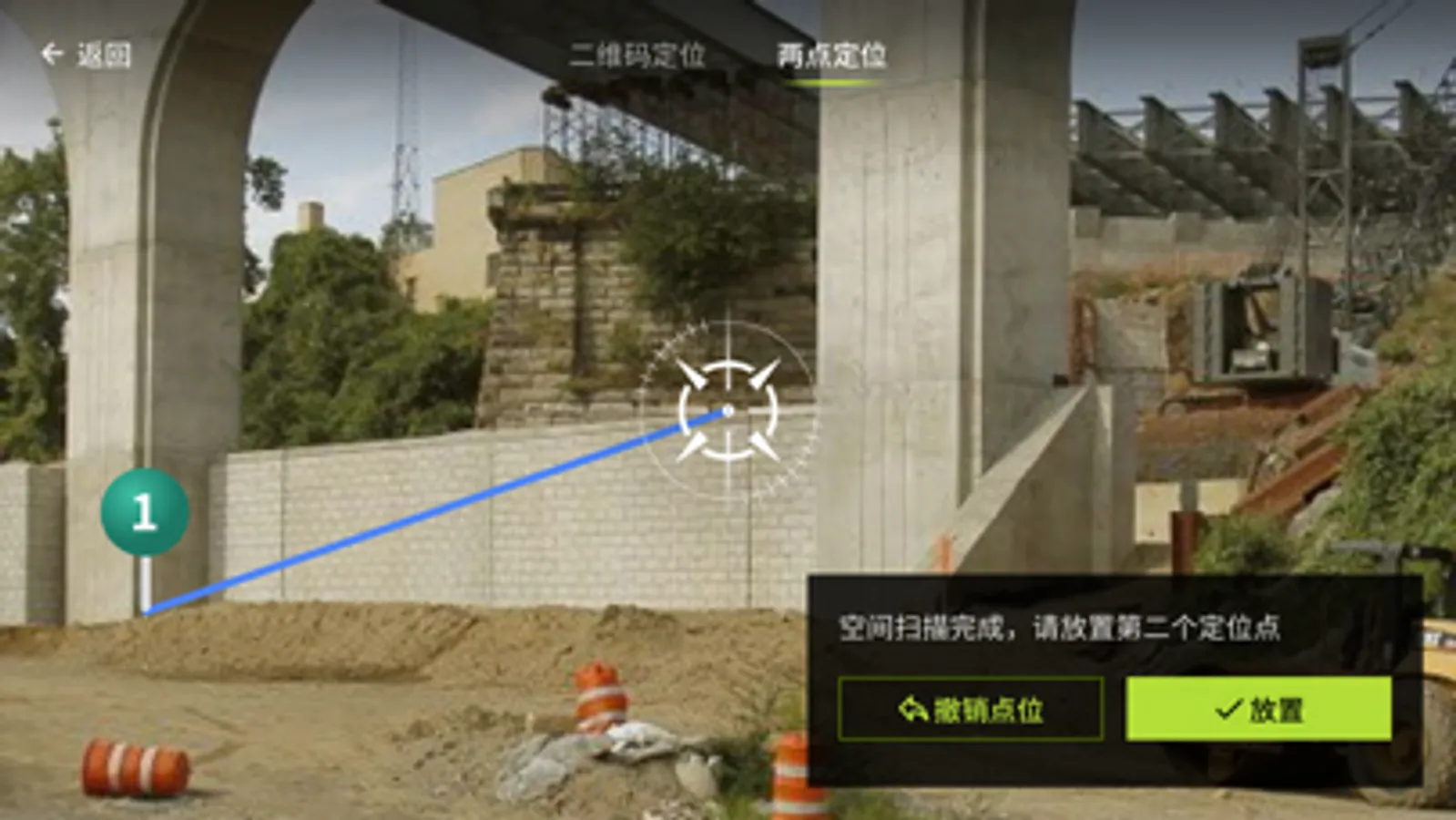
Through AR + GIS + multi-format data, relying on the cloud, the whole link of urban municipal engineering from engineering construction to operation and maintenance management is opened up. Real data is collected and entered at the engineering site, and BIM, oblique photography and point cloud are restored with high precision through AR, which makes it easy to visualize the complex, hidden, and complicated projects of the city. In the remote operation management, it allows city managers to have an overview of the construction and operation status of urban infrastructure, and facilitates their daily operation and maintenance management.
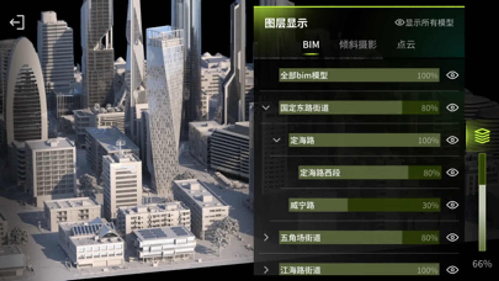
1. Model management and viewing:
By aligning BIM models, oblique photography and point cloud models with GIS coordinates, various models in the project can be shown on the 3D earth, and model information can be viewed visually without borders.
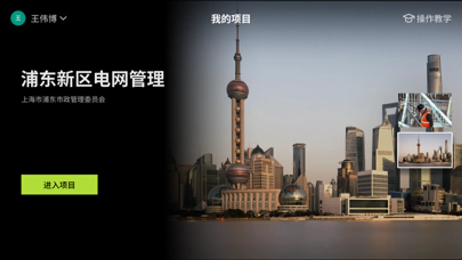
2. Project organization:
The system administrator can invite relevant members of the project to enter the project, and perform multi-person synchronization management on the basic data of the project.
Through AR + GIS + multi-format data, relying on the cloud, the whole link of urban municipal engineering from engineering construction to operation and maintenance management is opened up. Real data is collected and entered at the engineering site, and BIM, oblique photography and point cloud are restored with high precision through AR, which makes it easy to visualize the complex, hidden, and complicated projects of the city. In the remote operation management, it allows city managers to have an overview of the construction and operation status of urban infrastructure, and facilitates their daily operation and maintenance management.
1. Model management and viewing:
By aligning BIM models, oblique photography and point cloud models with GIS coordinates, various models in the project can be shown on the 3D earth, and model information can be viewed visually without borders.
2. Project organization:
The system administrator can invite relevant members of the project to enter the project, and perform multi-person synchronization management on the basic data of the project.
Onesight Smart City Platform Screenshots
Tap to Rate: