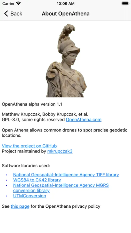
About OpenAthena
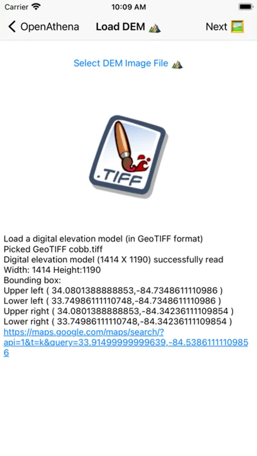
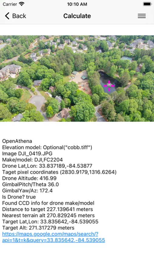
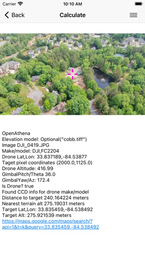
OpenAthena™ is a project which allows consumer and professional drones to spot precise locations through their images. This is accomplished by combining their sensor metadata with an offline-ready Digital Elevation Model to provide the instant location of what is being observed. More information on how to obtain an elevation model for your area can found here:
https://github.com/Theta-Limited/OpenAthena/blob/main/EIO_fetch_geotiff_example.md
https://github.com/Theta-Limited/OpenAthena/blob/main/EIO_fetch_geotiff_example.md
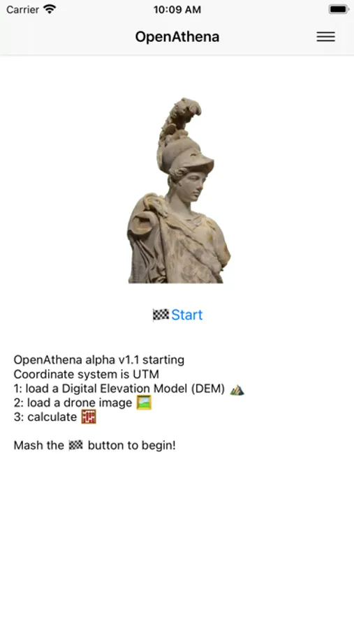
OpenAthena Screenshots
Tap to Rate: