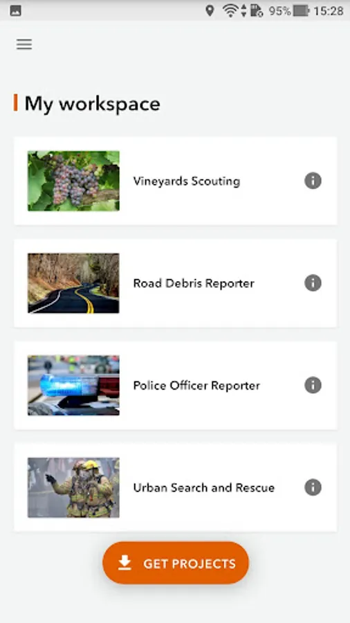
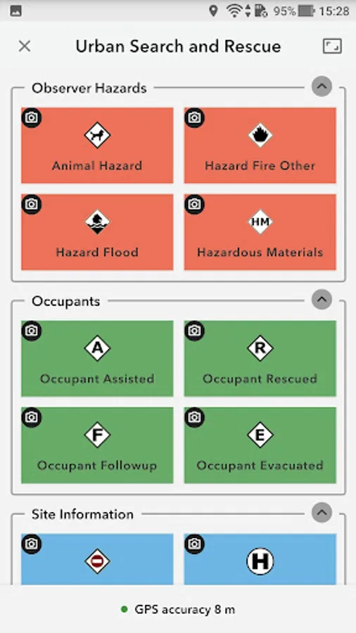
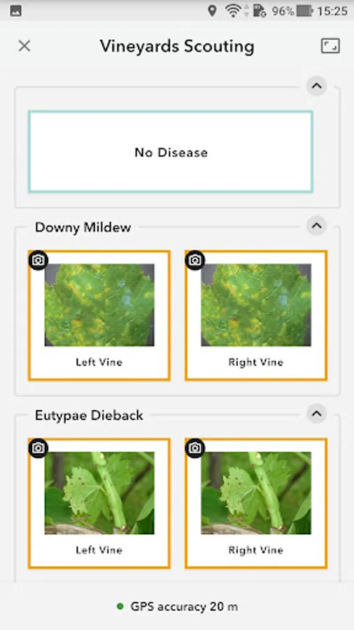
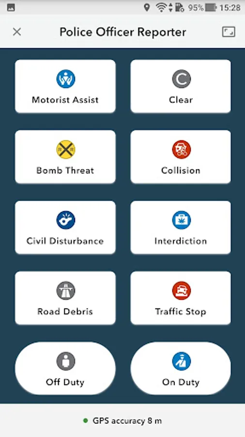
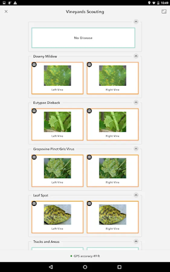
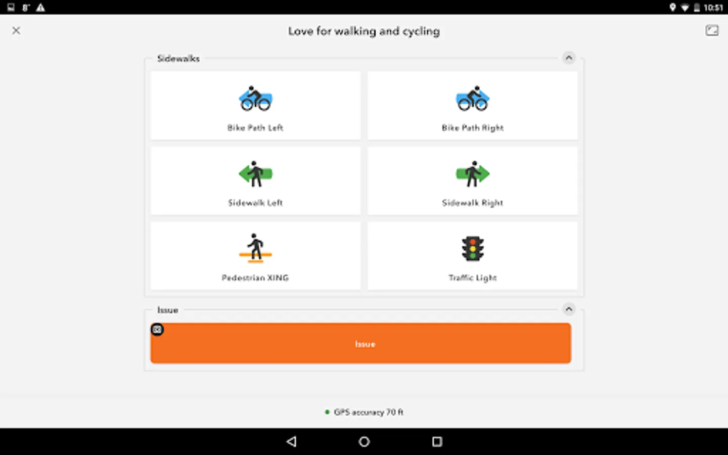
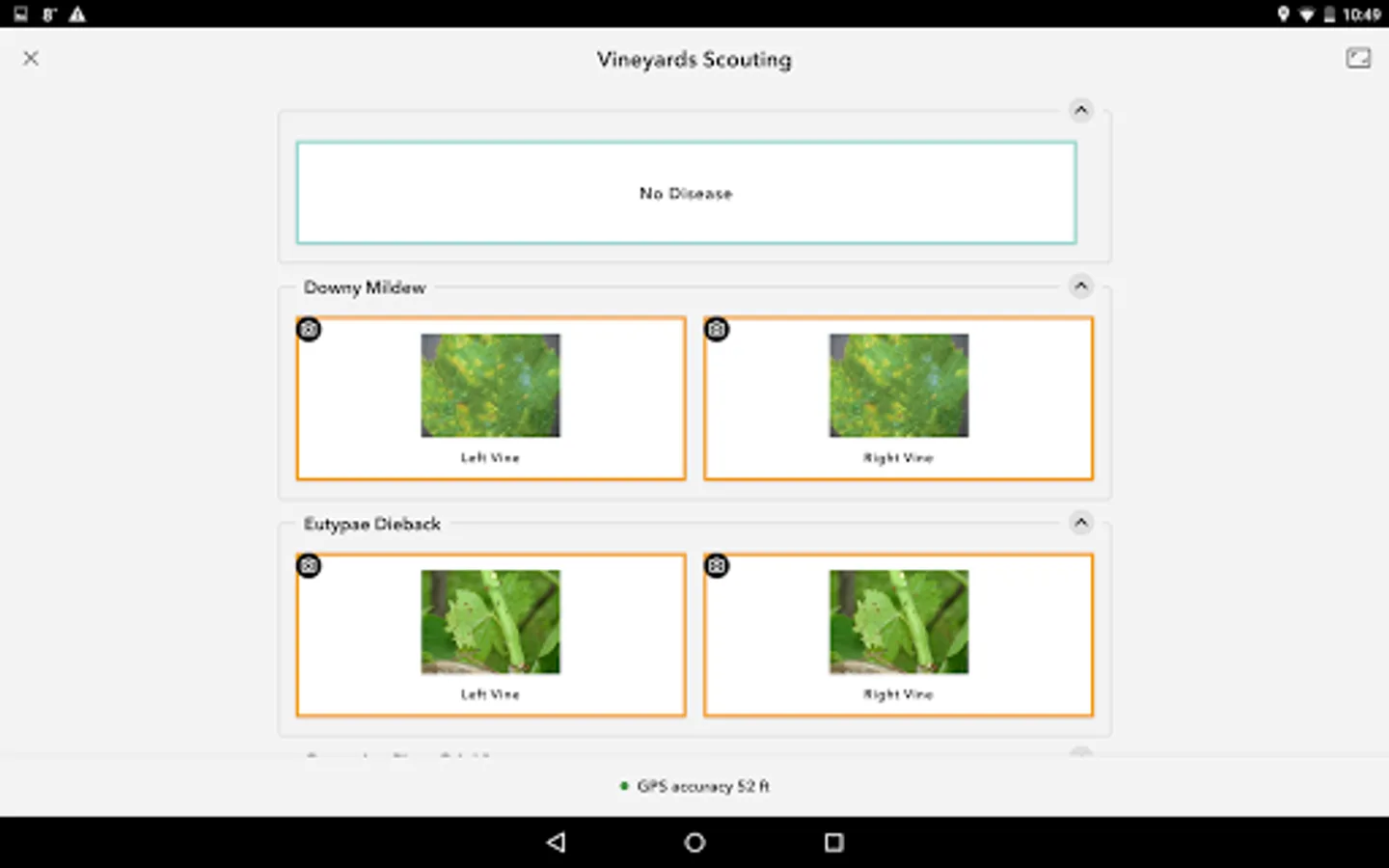
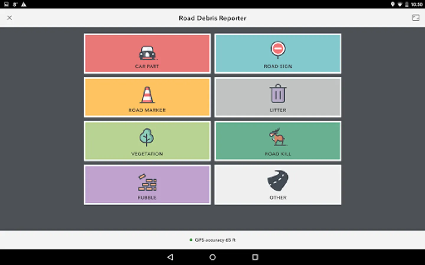
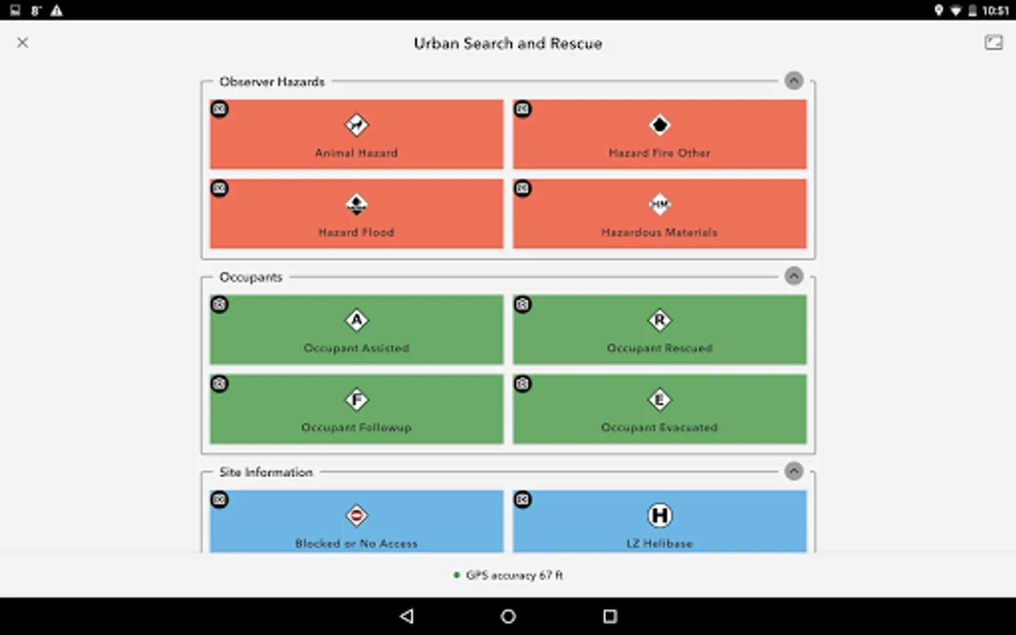
With this data collection app, you can capture GIS observations with a single tap and send data in real time. Includes location tracking, photo attachment, and attribute entry.
AppRecs review analysis
AppRecs rating 4.0. Trustworthiness 81 out of 100. Review manipulation risk 25 out of 100. Based on a review sample analyzed.
★★★★☆
4.0
AppRecs Rating
Ratings breakdown
5 star
67%
4 star
3%
3 star
3%
2 star
7%
1 star
19%
What to know
✓
Low review manipulation risk
25% review manipulation risk
✓
Credible reviews
81% trustworthiness score from analyzed reviews
✓
Good user ratings
71% positive sampled reviews
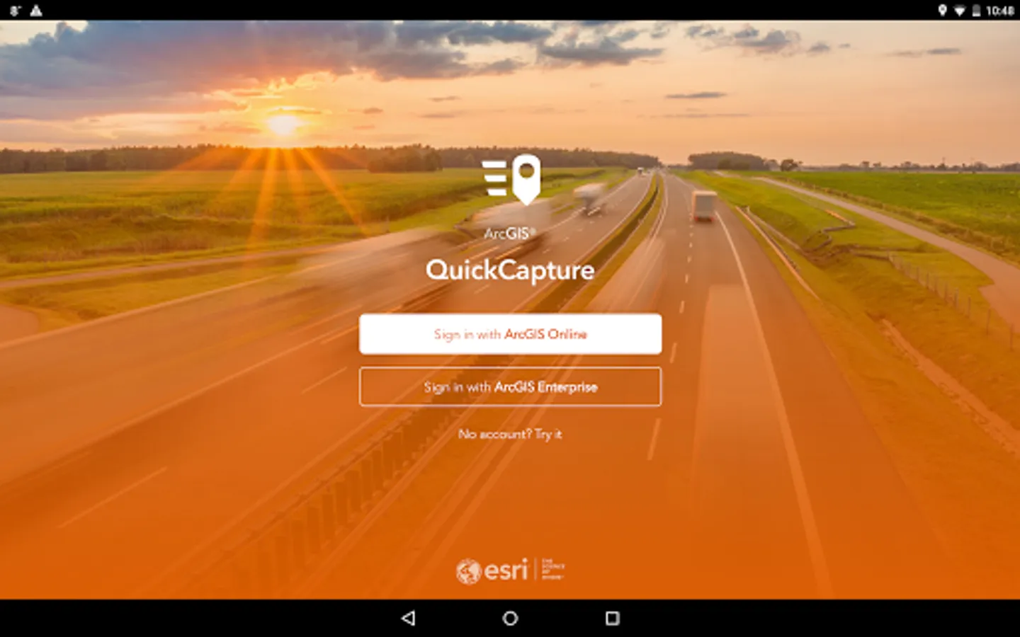
About ArcGIS QuickCapture
ArcGIS QuickCapture Screenshots


Tap to Rate:
Reviews for ArcGIS QuickCapture
Ta Hockless
12/4/2025
good so far
Mark
9/17/2025
Just minutes after founding our new nonprofit, EnlightenmentInc.tv, we already received a helpful demonstration of AI's potential. Our AI assistant, in a very patient and non-interruptive manner, provided a clear and informative explanation of the ArcGIS QuickCapture app. This quick and direct access to reliable information, which we had no prior knowledge of, is a strong, immediate benefit. It shows that even in the very first stages of a project, the right tools can offer immediate clarity and