
In this app, you can explore and visualize geospatial data on a 3D globe, perform measurements, and share insights. Includes map viewing, data collection, measurements, and sharing features.
AppRecs review analysis
AppRecs rating 3.9. Trustworthiness 80 out of 100. Review manipulation risk 22 out of 100. Based on a review sample analyzed.
★★★☆☆
3.9
AppRecs Rating
Ratings breakdown
5 star
55%
4 star
17%
3 star
9%
2 star
6%
1 star
13%
What to know
✓
Low review manipulation risk
22% review manipulation risk
✓
Credible reviews
80% trustworthiness score from analyzed reviews
✓
Good user ratings
72% positive sampled reviews
About ArcGIS Earth
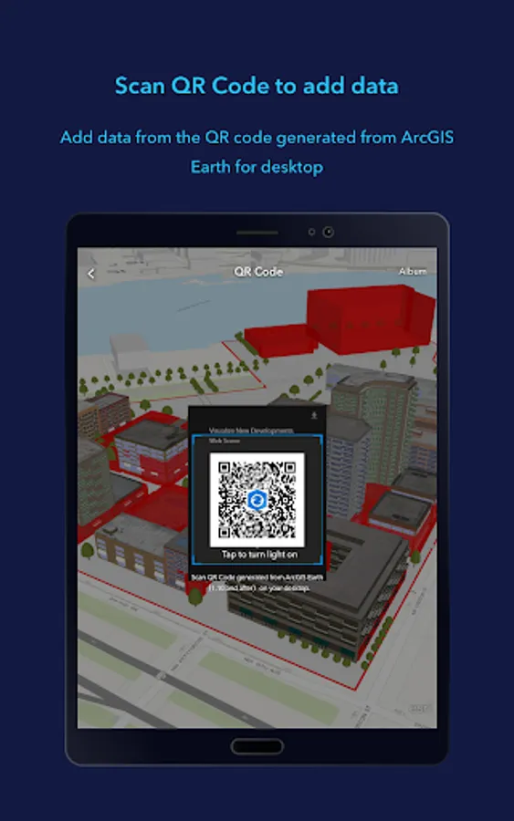
ArcGIS Earth transforms your mobile device into an interactive 3D globe for exploring geospatial data. Access authoritative organizational data, collect field data, perform measurements and exploratory analysis, and share insights with others. Whether you are online or offline, ArcGIS Earth puts the power of 3D visualization at your fingertips. Collaborate with key stakeholders to accelerate decision-making through a shared 3D perspective or digital twin of your data.
Key Features:
- View maps, GIS layers, and 3D content.
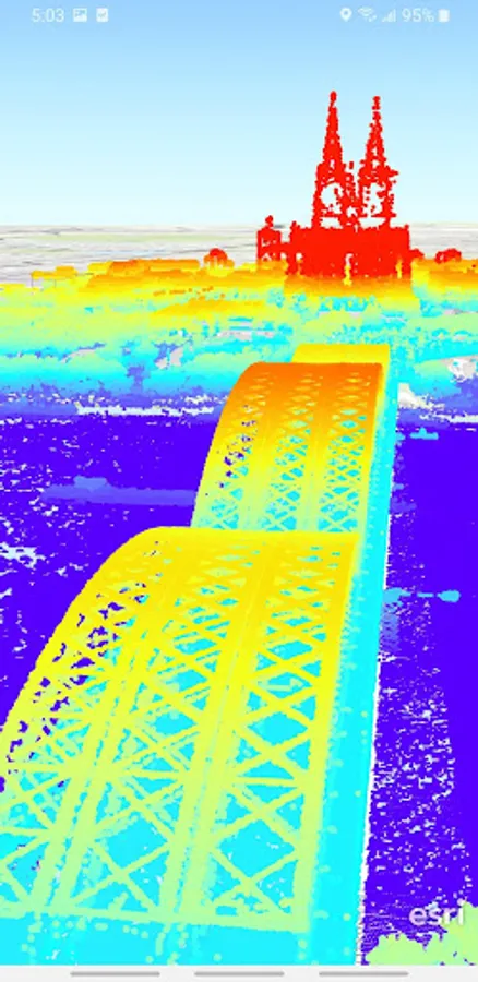
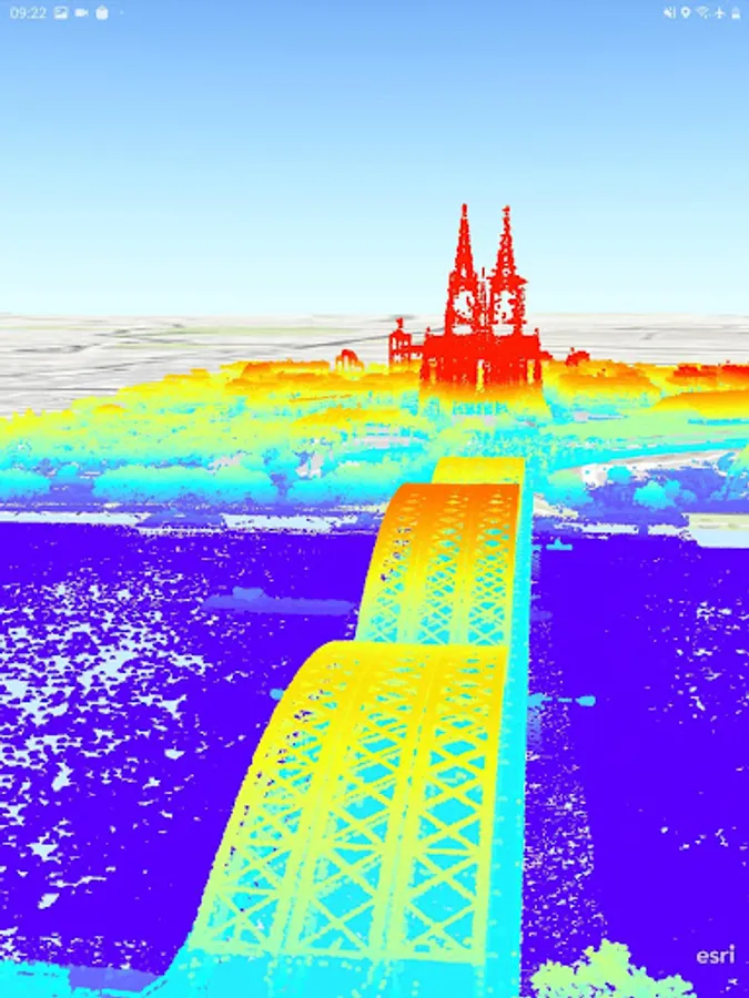
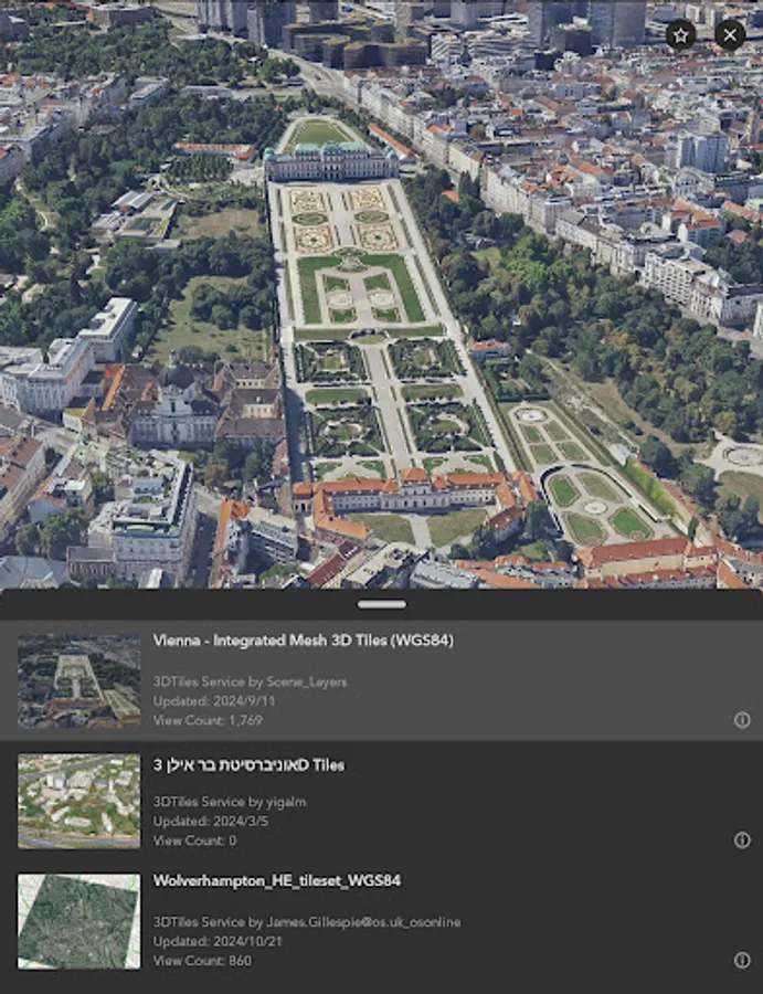
- Explore and visualize open 3D standards.
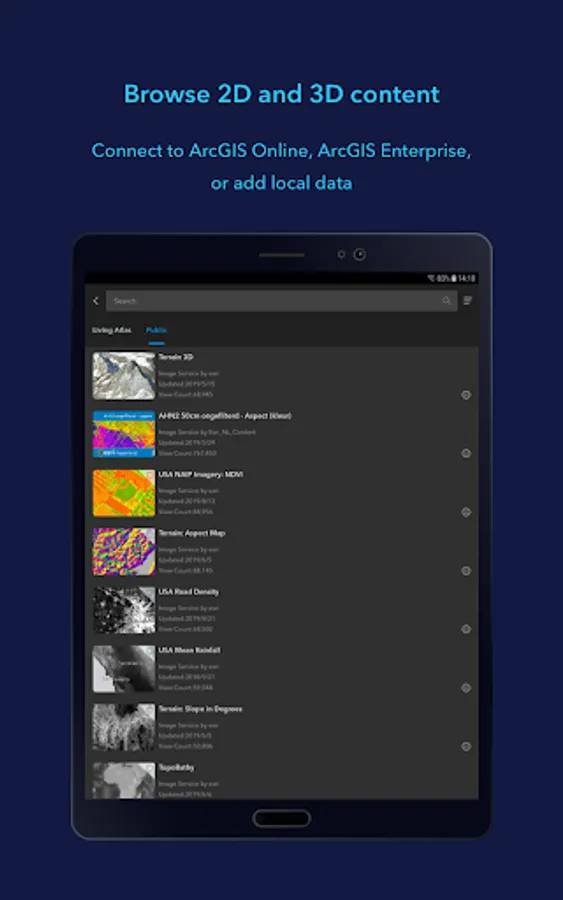
- Securely connect to your organizations ArcGIS Online or ArcGIS Enterprise portal.
- Search for places using world locator service or custom locator service.
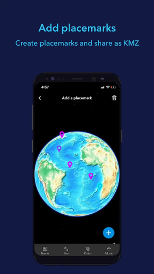
- Draw points, lines, and areas on an interactive 3D globe.
- Add notes and attach photos to drawings.
- Share drawings as KMZs or publish to ArcGIS Portal.
- Create and share tours using placemarks or geotagged photos.
- Conduct interactive 2D and 3D measurements.
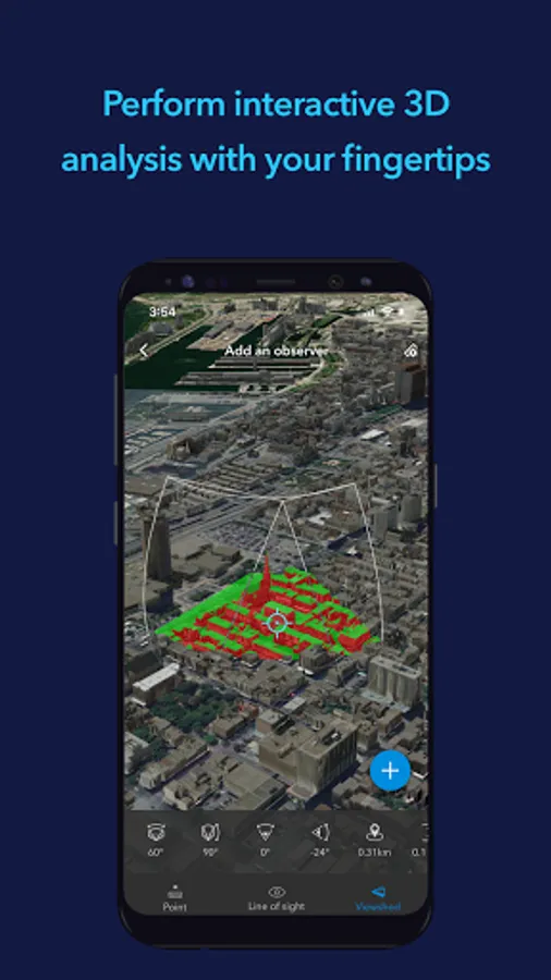
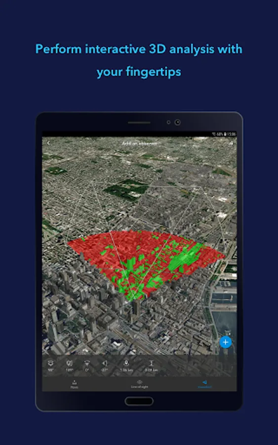
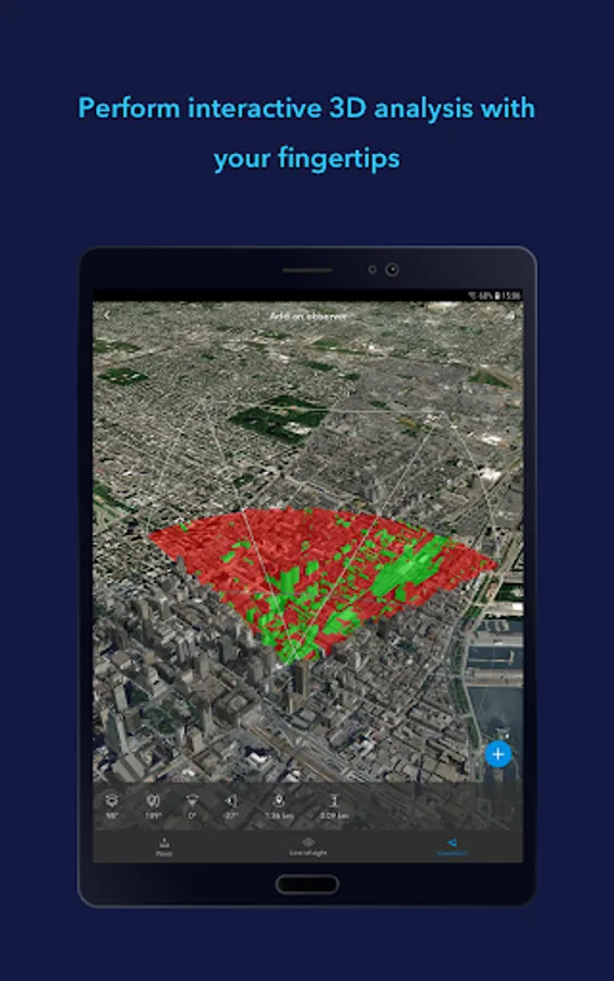
- Conduct 3D exploratory analysis like line of sight and viewshed.
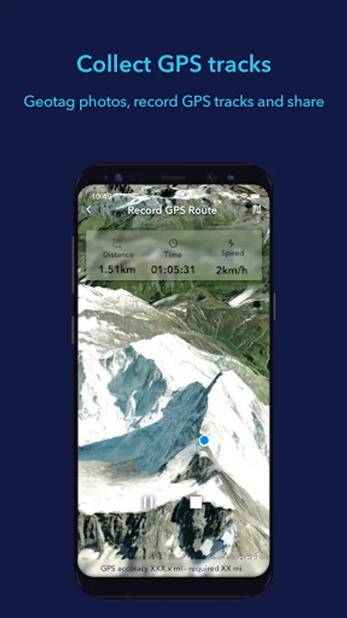
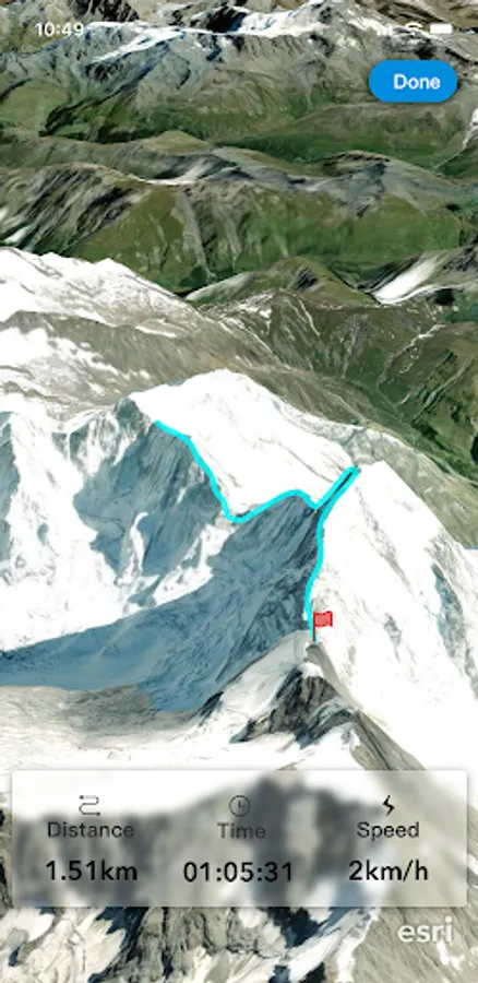
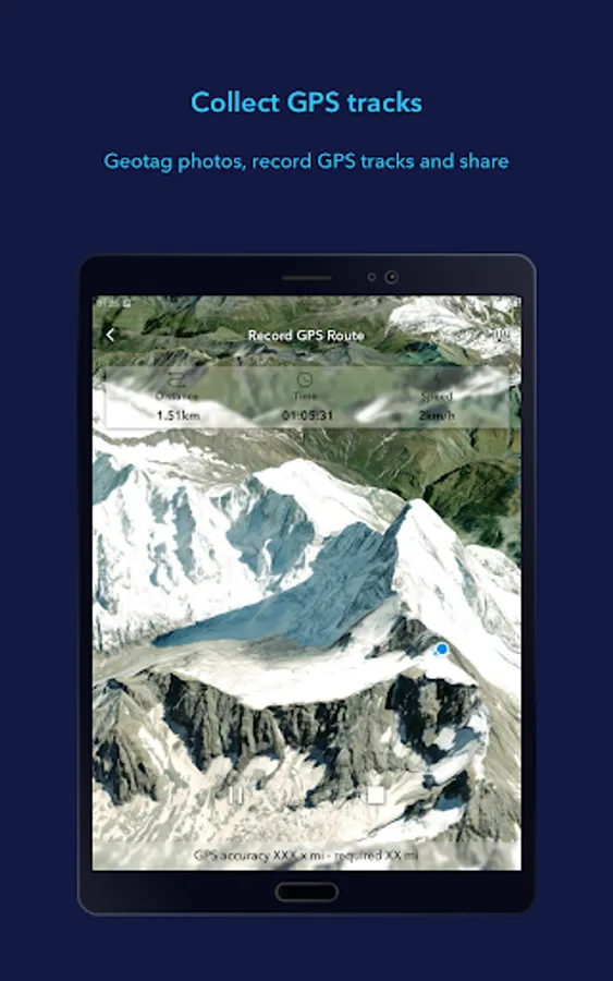
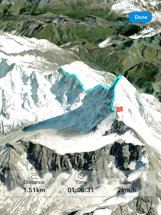
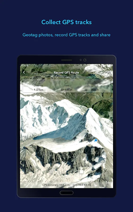
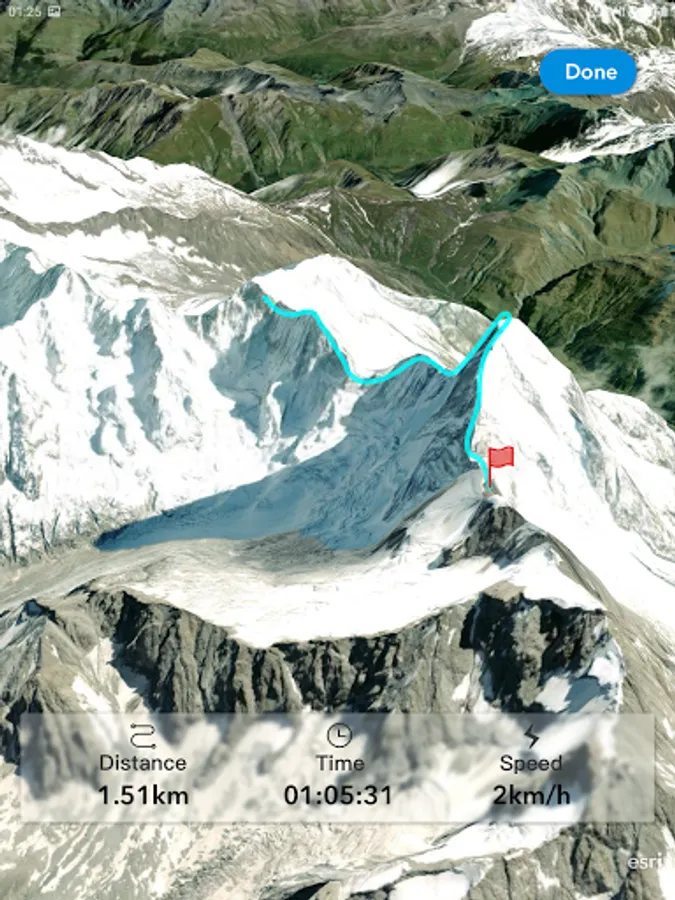
- Record GPS tracks and save as a KMZ or publish to ArcGIS Portal.
- Integrate with other device apps to enable 3D visualization in field workflows.
- Position 3D data on a surface to see it in Augmented Reality.
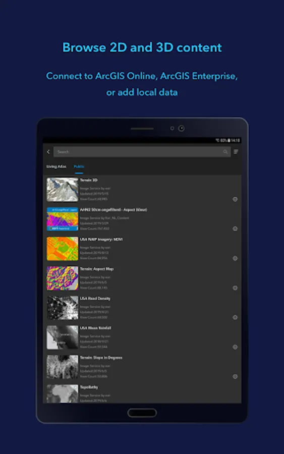
Supported Online Data Services: ArcGIS Map Service, Image Service, Feature Service, Scene Service, Web Maps, Web Scenes, 3D Tiles Hosted Service, and KML / KMZ.
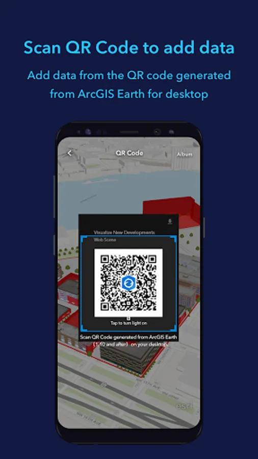
Supported Offline Data: Mobile Scene Package (.mspk), KML and KMZ files (.kml and .kmz), Tile Packages (.tpk and .tpkx), Vector Tile Packages (.vtpk), Scene Layer Packages (.spk and .slpk), GeoPackage (.gpkg), 3D Tiles (.3tz), Raster Data (.img, .dt, .tif, .jp2, .ntf, .sid, .dt0…)
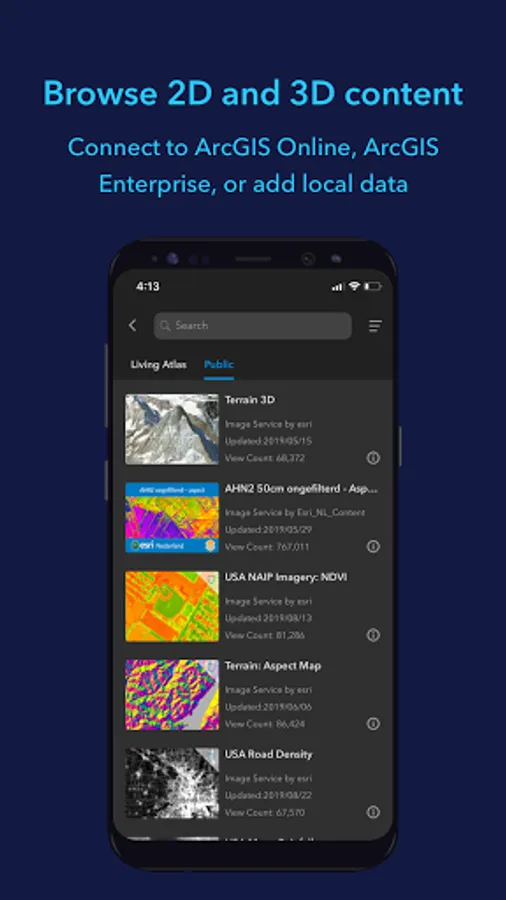
Note: An account is not required to browse public data on ArcGIS Online and ArcGIS Living Atlas of the World, the world's foremost collection of geospatial information.
Note: This app requires you to have a licensed ArcGIS user type to access organizational content and services.
Key Features:
- View maps, GIS layers, and 3D content.
- Explore and visualize open 3D standards.
- Securely connect to your organizations ArcGIS Online or ArcGIS Enterprise portal.
- Search for places using world locator service or custom locator service.
- Draw points, lines, and areas on an interactive 3D globe.
- Add notes and attach photos to drawings.
- Share drawings as KMZs or publish to ArcGIS Portal.
- Create and share tours using placemarks or geotagged photos.
- Conduct interactive 2D and 3D measurements.
- Conduct 3D exploratory analysis like line of sight and viewshed.
- Record GPS tracks and save as a KMZ or publish to ArcGIS Portal.
- Integrate with other device apps to enable 3D visualization in field workflows.
- Position 3D data on a surface to see it in Augmented Reality.
Supported Online Data Services: ArcGIS Map Service, Image Service, Feature Service, Scene Service, Web Maps, Web Scenes, 3D Tiles Hosted Service, and KML / KMZ.
Supported Offline Data: Mobile Scene Package (.mspk), KML and KMZ files (.kml and .kmz), Tile Packages (.tpk and .tpkx), Vector Tile Packages (.vtpk), Scene Layer Packages (.spk and .slpk), GeoPackage (.gpkg), 3D Tiles (.3tz), Raster Data (.img, .dt, .tif, .jp2, .ntf, .sid, .dt0…)
Note: An account is not required to browse public data on ArcGIS Online and ArcGIS Living Atlas of the World, the world's foremost collection of geospatial information.
Note: This app requires you to have a licensed ArcGIS user type to access organizational content and services.
ArcGIS Earth Screenshots




Tap to Rate:
Reviews for ArcGIS Earth
Brian Kleinberg
2/3/2026
Changed from the problems of Google Earth. Overall app is very good but very slow when using satelite layer. It would be nice if the last map layer is shown rather than having to select it each time the app is used. Update: Way too slow... will delete if next update does not address this issue.
DASHRATH VISHWAKARMA
10/12/2025
nice app👌👌👌👌👌👌👌👌👌👌